Chiltern Walks: Gerrards Cross and Chalfont St Peter
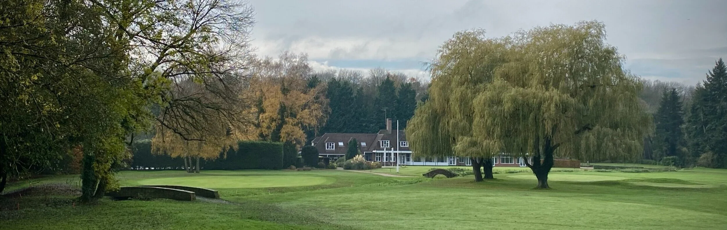
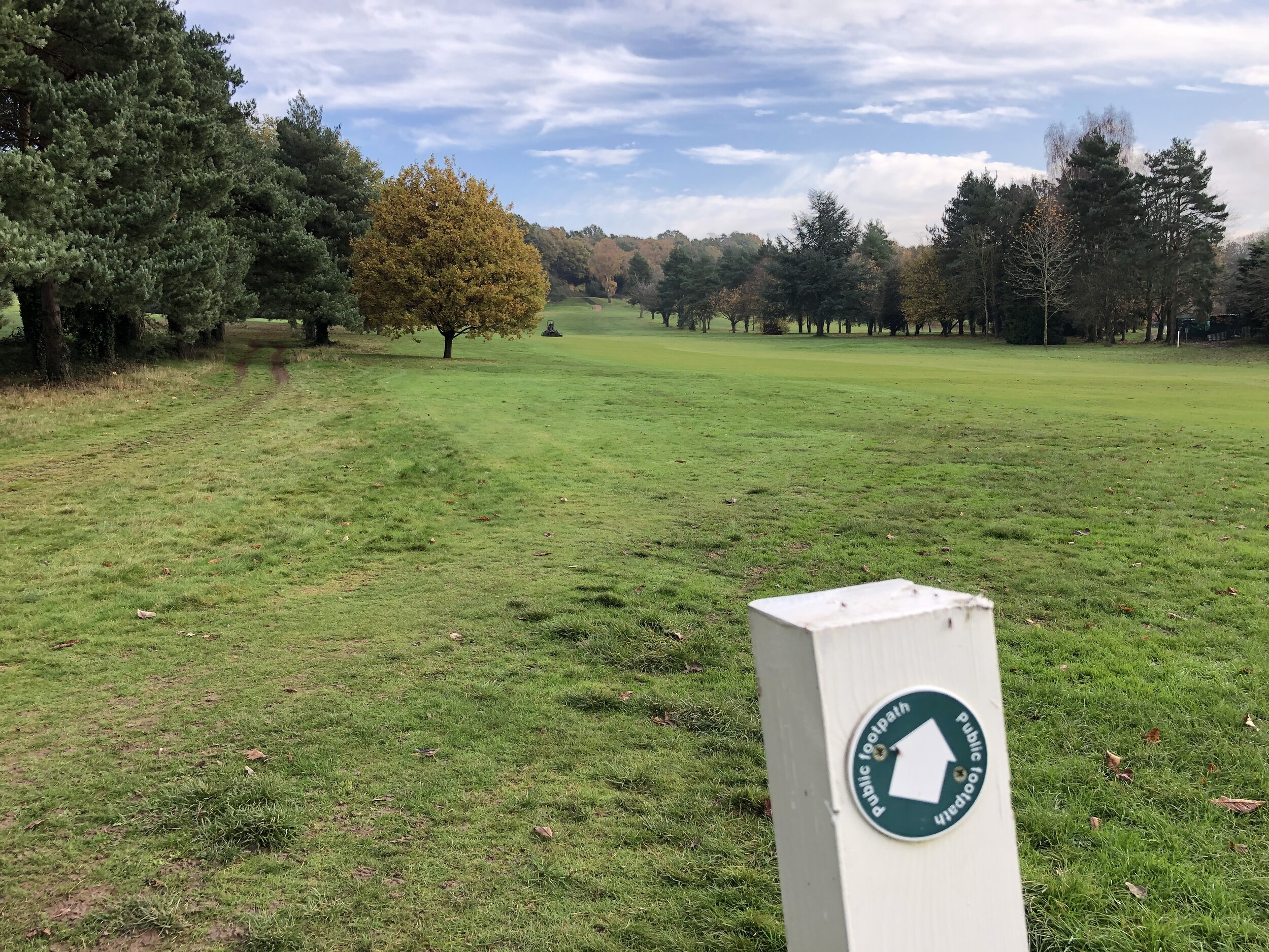
Gerrards Cross Golf Club
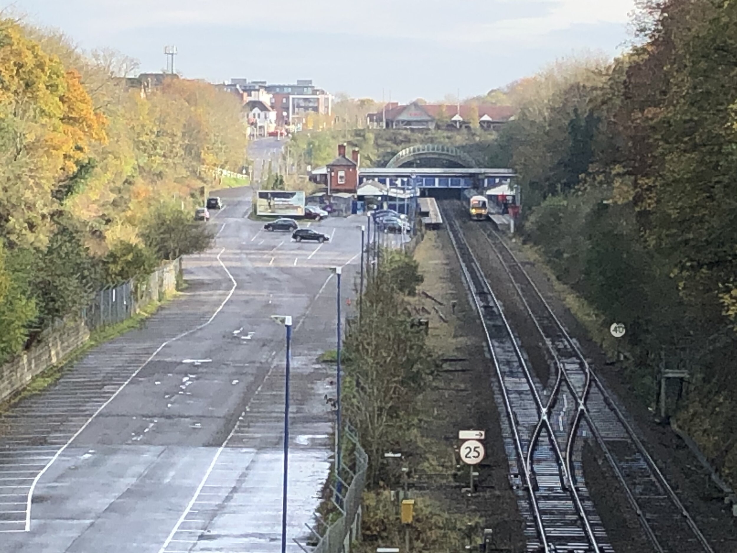
Start & Finish: Gerrards Cross Station, Station Approach, Gerrards Cross, SL9 8PL
Distance: 6.3 km (3.9 miles)
Elevation change: +/- 49m
GPX File: get via Buy Me a Coffee
Other routes touched (walk): None
Other routes touched (cycle): None
Pubs / Cafes on route: Several in Chalfont St Peter Village Centre and Gerrards Cross Town Centre
Map: OS Explorer Map (172) Chiltern Hills East
Links: River Misbourne, Gerrards Cross, Gerrards Cross Station, Chalfont St Peter
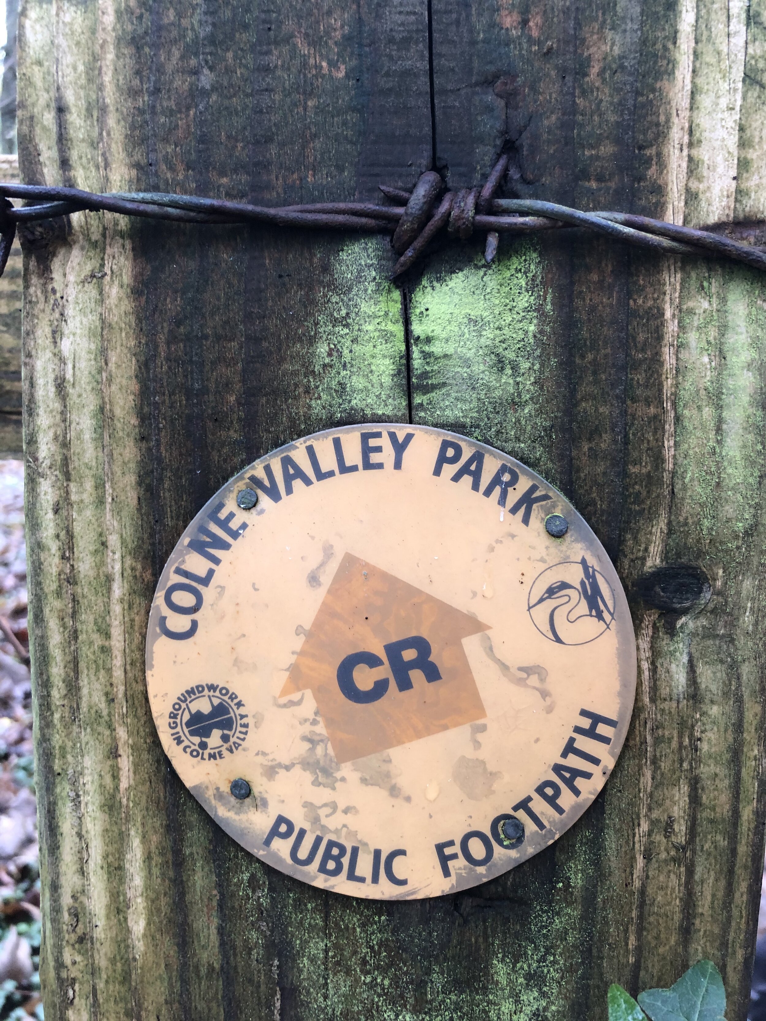
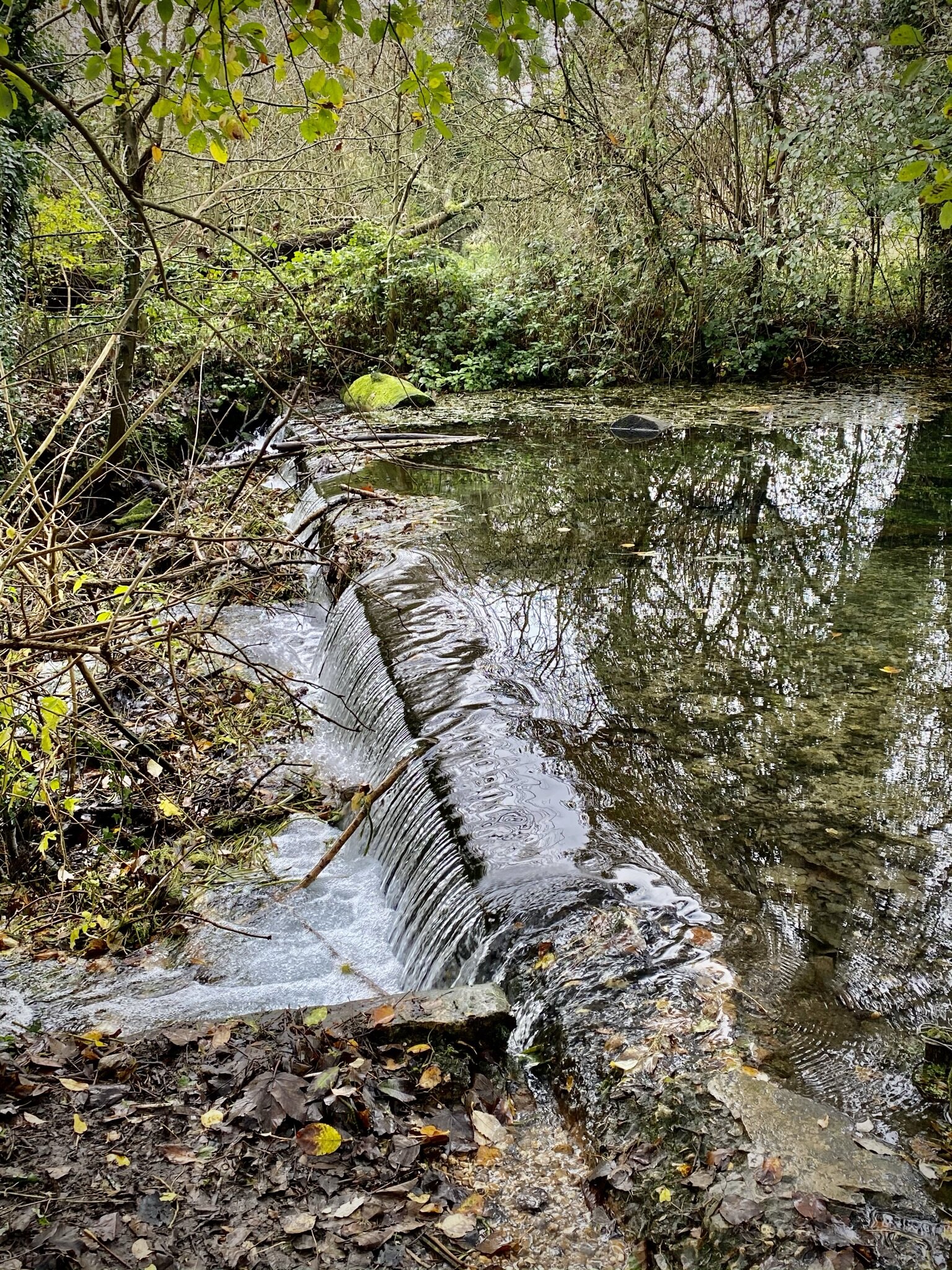
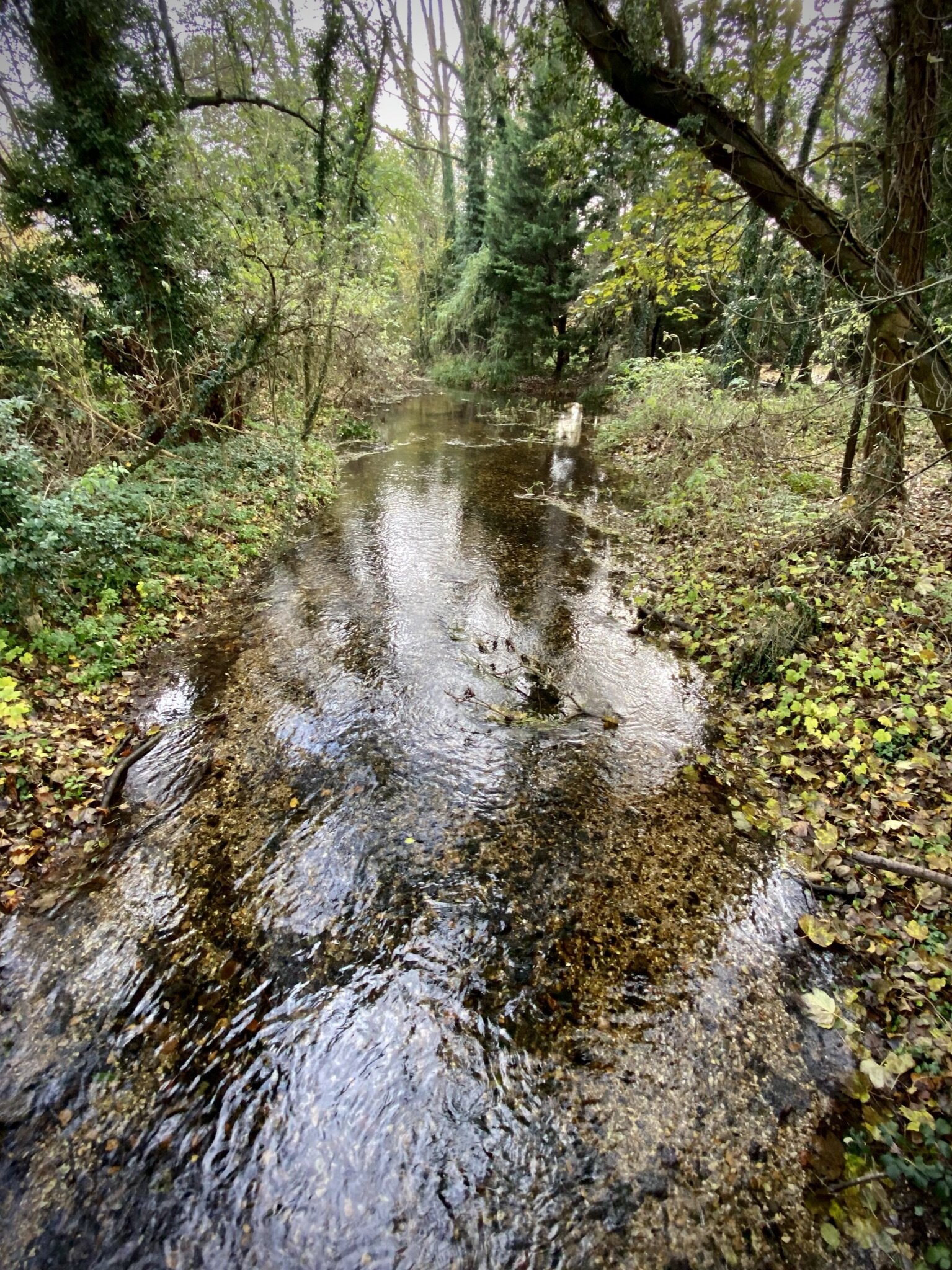
This trip was both part of our River Misbourne Circulars and our walks based around the rail and underground stations of the Chilterns. The River Misbourne runs from its source at Great Missenden, to Denham where it joins the Colne.
This is the first of a set of shorter routes at the southern end of the Misbourne. The open fields of the upper part of the valley now make way for residential areas, roads and golf courses. It’s also the part where the river meets the Chiltern Line connecting Gerrards Cross, Denham Gold Club and Denham with London. The guidance below will help you navigate but don’t use it as a fully accurate turn-by-turn guide. Always take a map and/or a GPX route and prepare well for the weather and terrain.
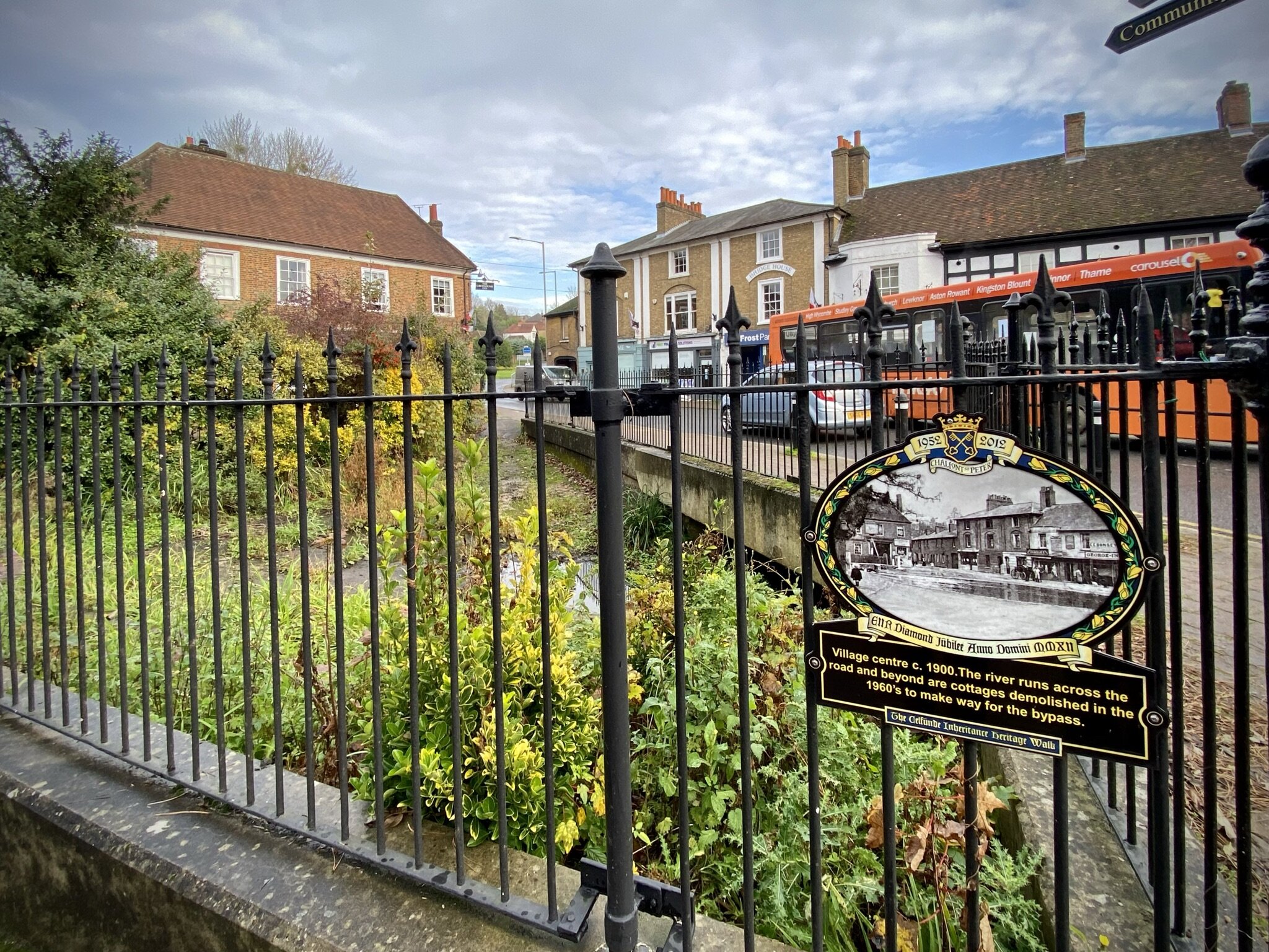
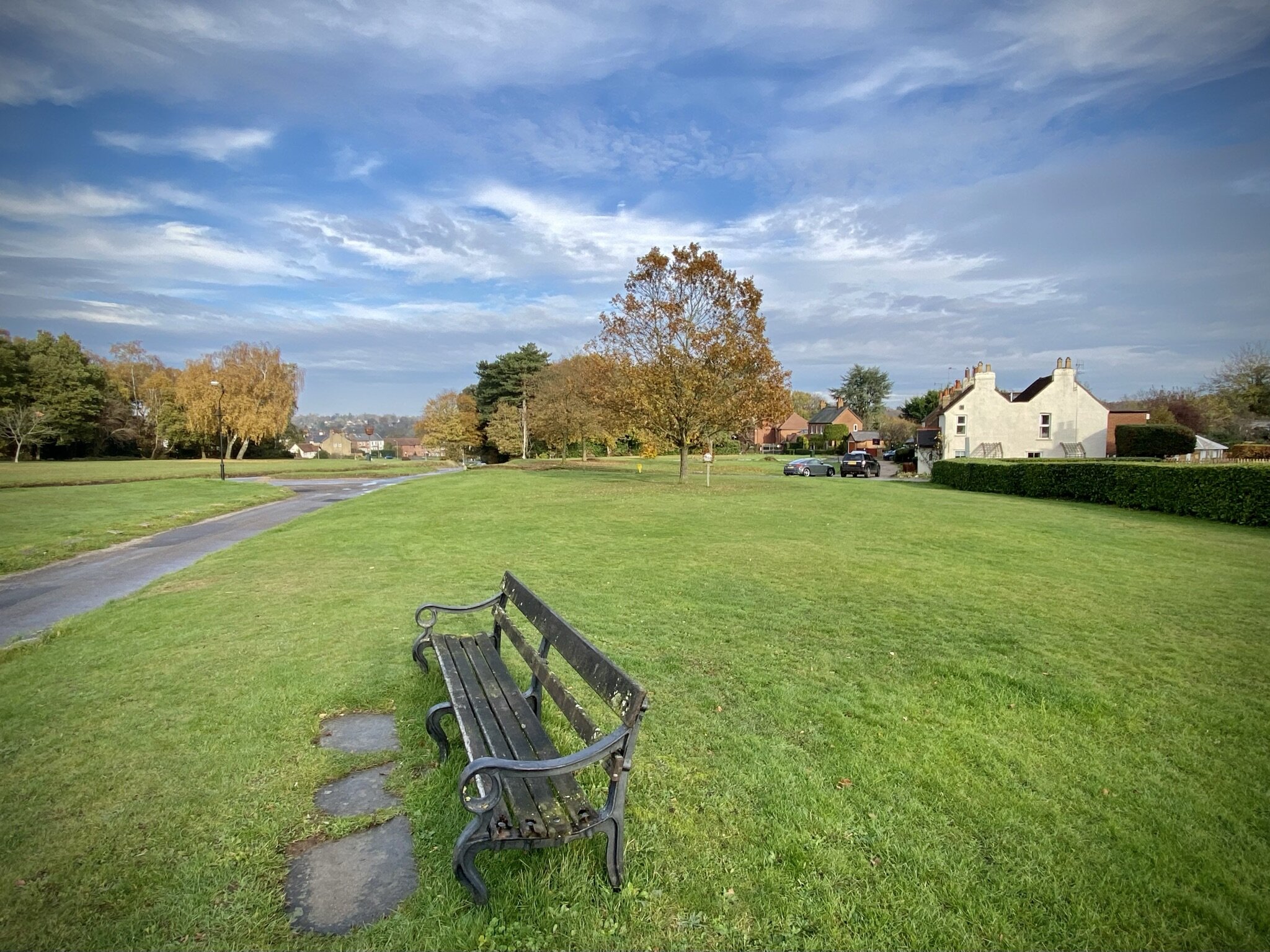
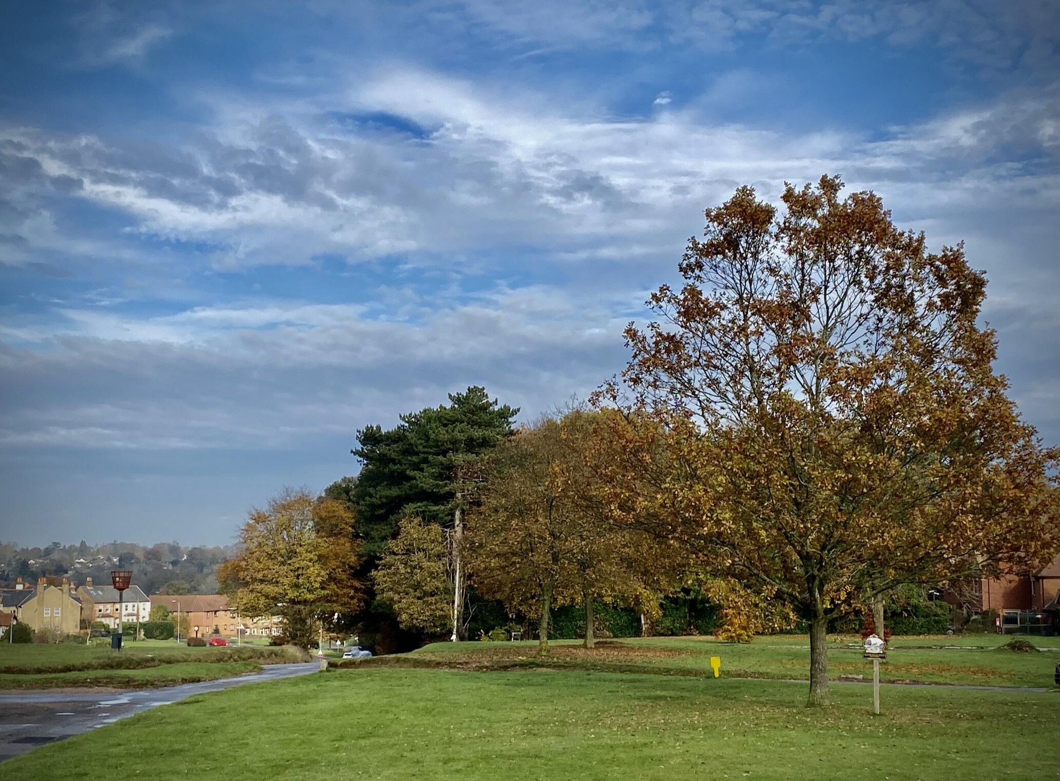
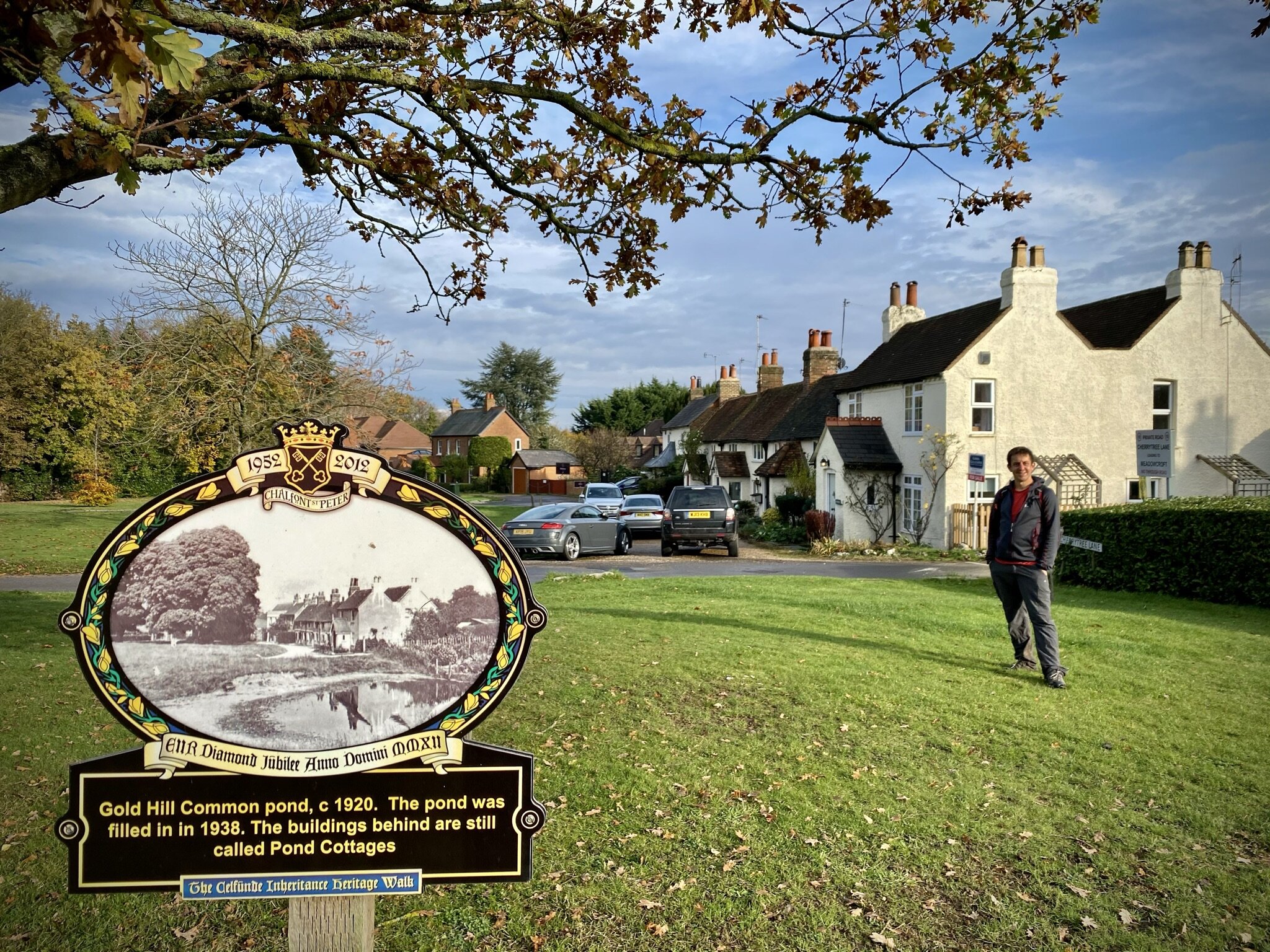
From Gerrards Cross station take the footpath that runs parallel to the railway in a north-westerly direction. At Bull Lane you can get a good view of the railway cutting and the station. Turn right onto Bull Lane and continue north through footpaths and residential streets to Gold Hill Baptist Church. You are now at the top end of Chalfont St Peter. Descend via Gold Hill East onto Market Place until you reach the small roundabout in the village centre. Watch out for the several Heritage Plaques around the town that show old photos and information about the village.
From the village centre roundabout take a left onto high street and go through the A413 underpass. This comes out at the Chalfont St Peter Youth Centre wher you’ll take a right to follow a path that runs parallel to the A413 and the Misbourne. Just after the path joins Woodside Hill take a footpath on the left through Gerrards Cross Golf Club. On the far side of the golf course the path rejoins the Misbourne through Round Copse. You’ll soon meet a T-junction and a bridge which is as far as you can follow the Misbourne until it crosses under the M25. Take a right here and leave the river behind you as you walk east back to the A413. Cross over the A413, taking care here as its a busy dual carriageway. Once across follow a footpath that runs between back gardens, over Packhorse Road and onto Orchehill Avenue. When Orchehill Avenue curves to the right take the footpath on the left and follow it back to Gerrards Cross Station.