Worcestershire Beacon: Worcestershire County Top

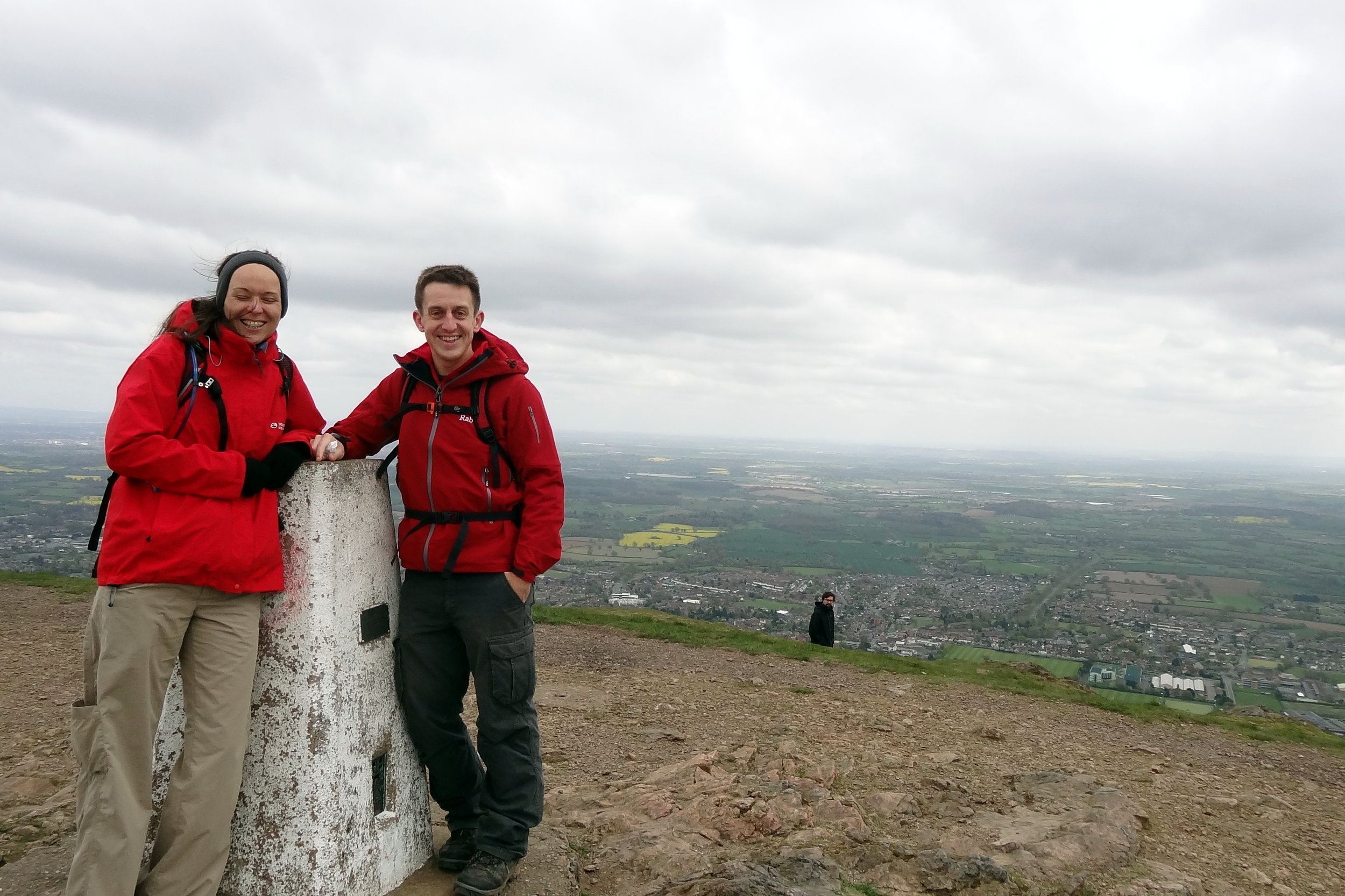
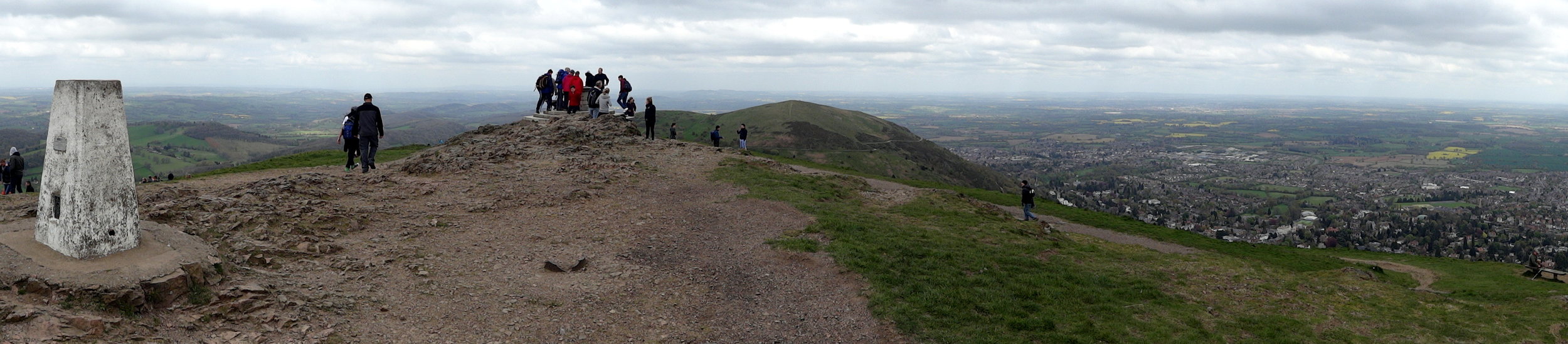
Summit of Worcestershire Beacon
Significance: Highest peak in Worcestershire (Historic CT)
Member of: Marilyn, Hardy
Parent Peak: Hergest Ridge. NHN = Titterstone Clee Hill
Elevation: 425m
Date climbed: 19th April 2014
Coordinates: 52°06′17″N 2°20′25″W
Route Start / End: Beacon Road Car Park, Beacon Rd, Malvern, WR14 4EH
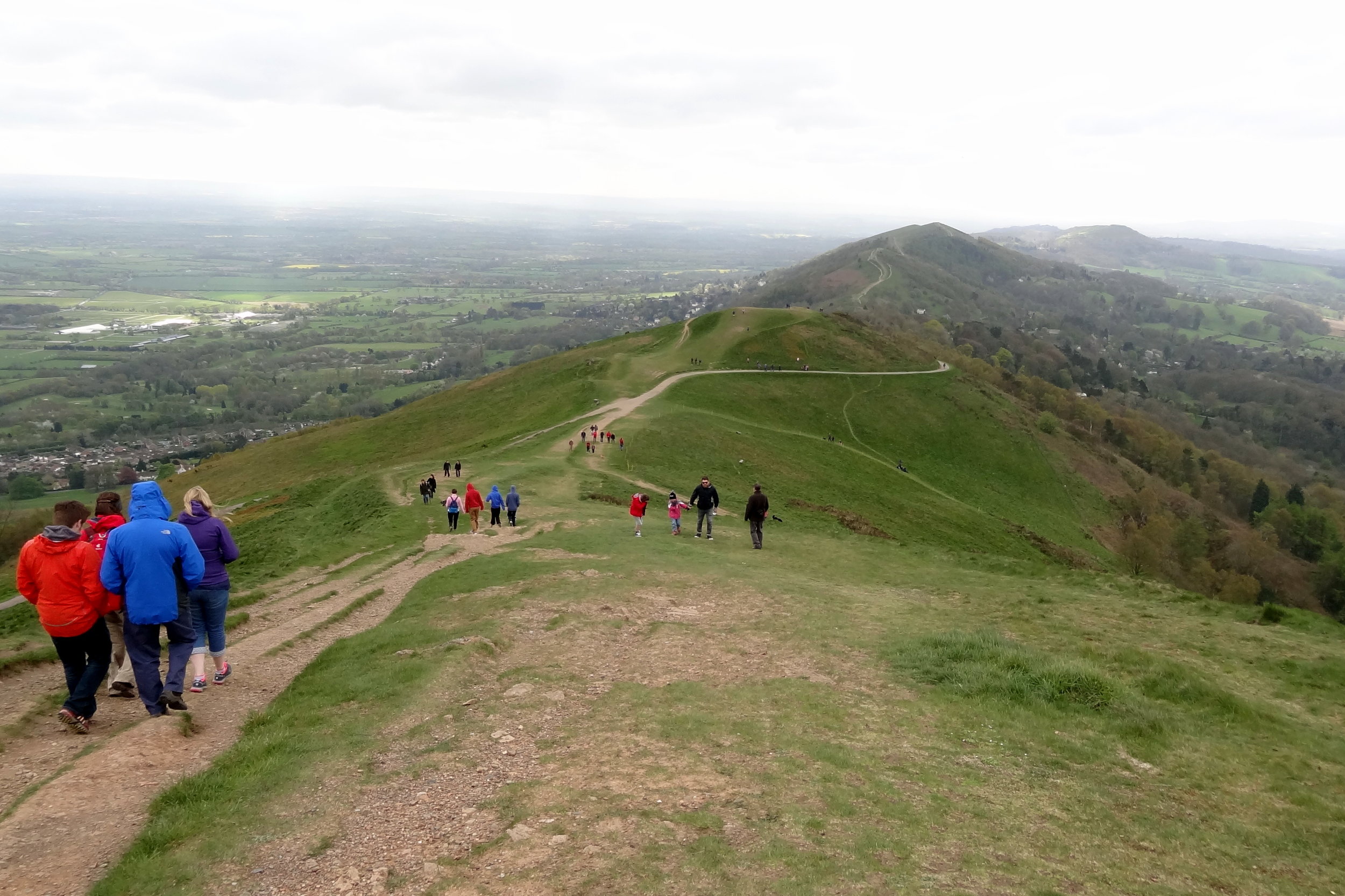
Route Distance: 2.8 km (1.7 miles)
Route Elevation Change: +/- 110m
Subsidiary tops on route: Summer Hill (383m)
GPX File: get via Buy Me a Coffee
Other routes touched (walk): Geopark Way, Three Choirs Way
Other routes touched (cycle): none
OS Trig Pillar: TP0724 - Malvern
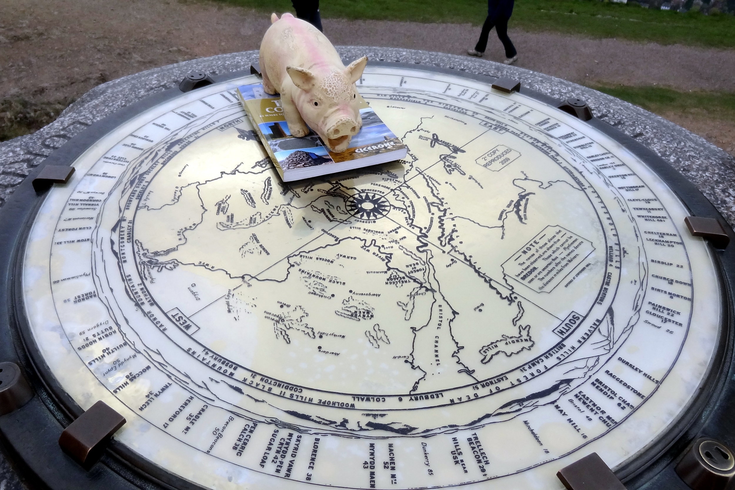
Map: OS Explorer Map (190) Malvern Hills & Bredon Hill
Guidebook: The UK's County Tops (Jonny Muir), Walking the County High Points of England (David Bathurst)
Links: Wikipedia (Worcestershire), Wikipedia (Worcestershire Beacon), Peakbagger, Hillbagging

OTHER HIGH POINT IN Worcesterhire
Rednal Hill North Top (250m) Birmingham Unitary Authority High Point: Peakbagger / Hillbagging