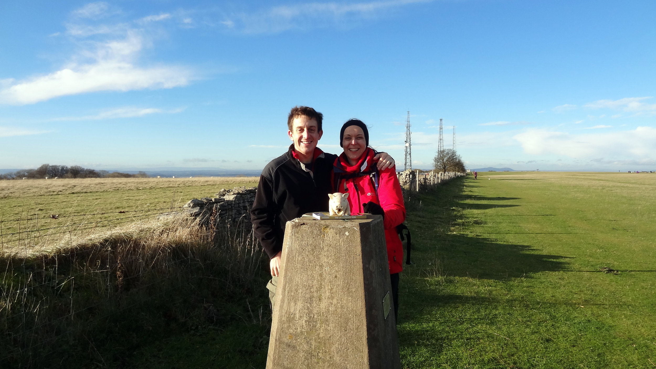
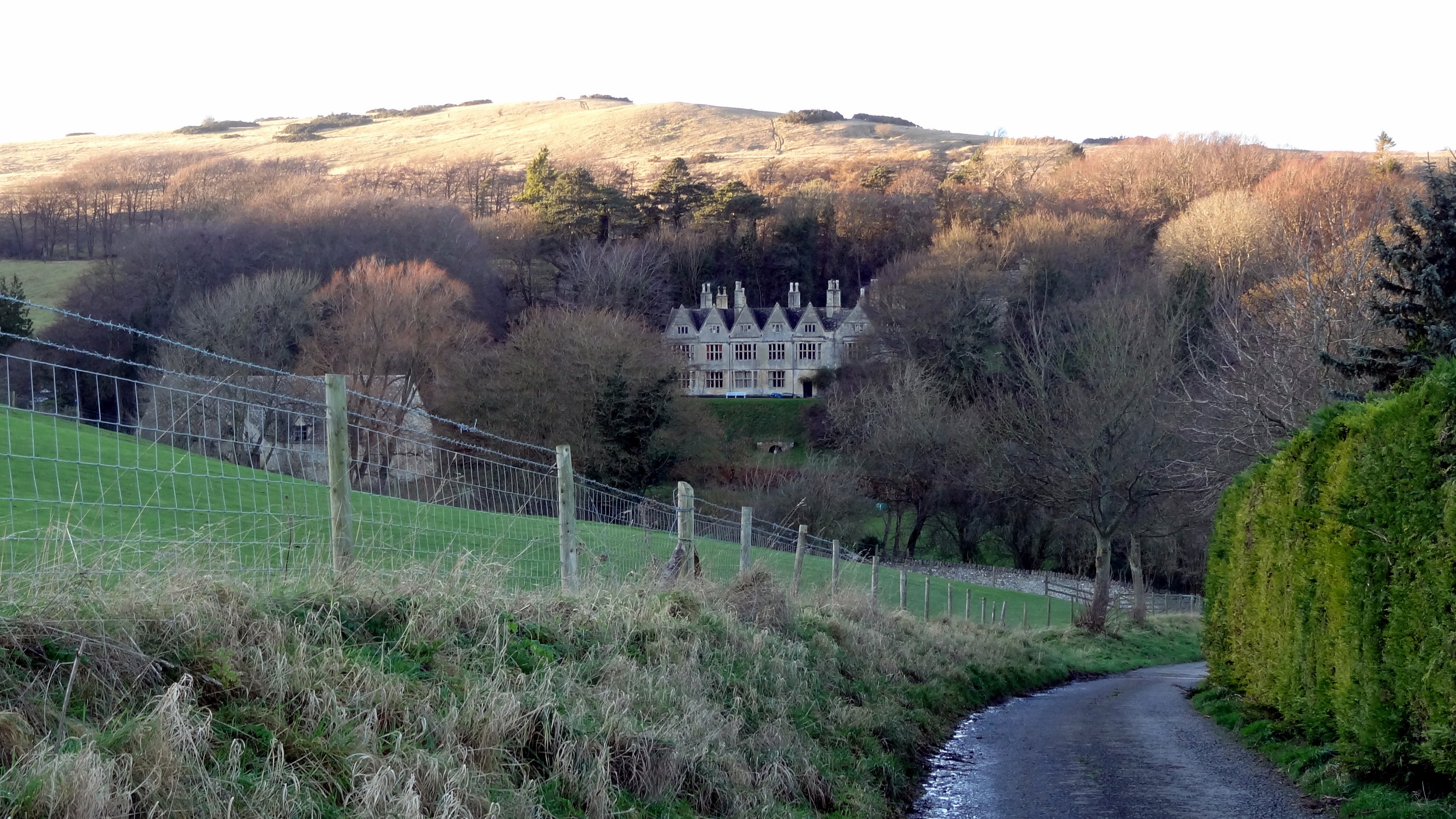
Cleeve Hill: Gloucestershire County Top

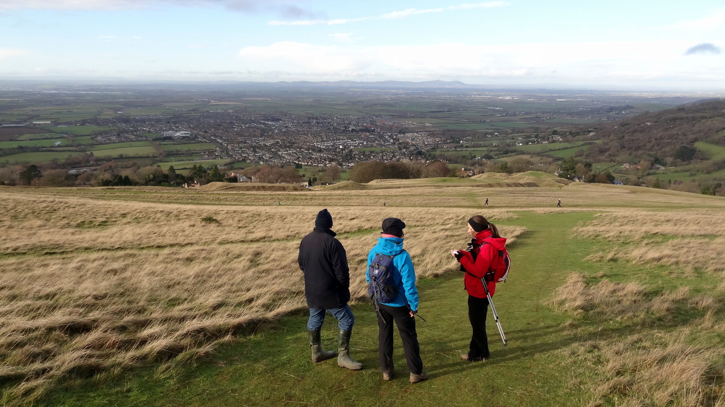
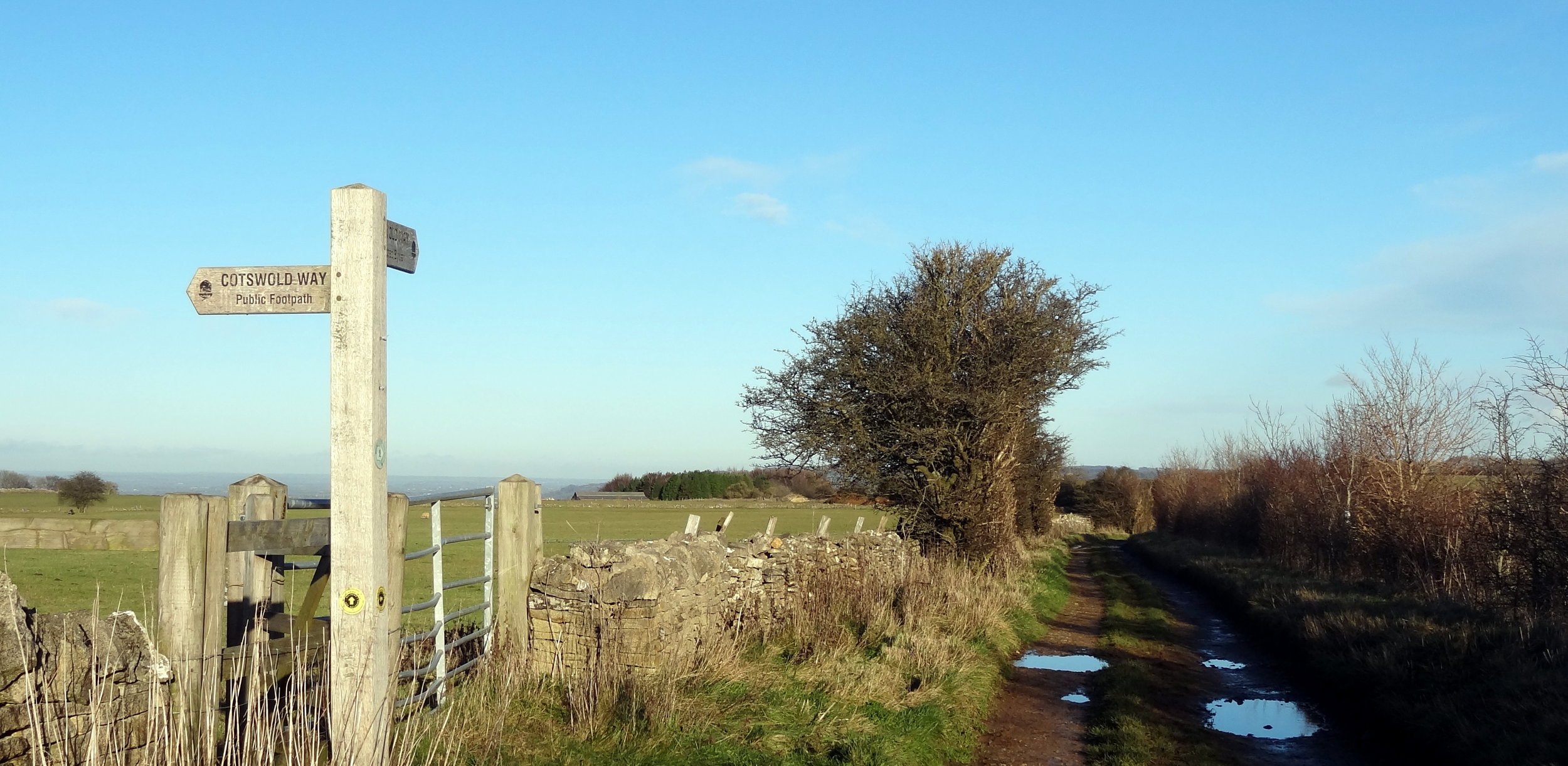
Cotswold Way junction near the summit.
Significance: Highest peak in Gloucestershire (Historic CT), Cotswolds AONB High Point
Member of: Marilyn
Parent Peak: The Wrekin. NHN = Herefordshire Beacon
Elevation: 330m
Date climbed: 8th December 2013
Coordinates: 51.920°N 2.007°W
Route Start / End: Rising Sun Hotel, Rising Sun Lane, Cleeve Hill, Cheltenham, GL52 3PX
Route Distance: 12 km (7.5 miles)
Route Elevation Change: +/- 304m
Subsidiary tops on route: Cleeve Hill (317)
GPX File: get via Buy Me a Coffee
Other routes touched (walk): Cotswold Way, Winchcombe Way (West), Isbourne Way
Other routes touched (cycle): none
OS Trig Pillar: TP0007 - Cleeve Hill
Map: OS Explorer Map (179) Gloucester, Cheltenham and Stroud
Guidebook: The UK's County Tops (Jonny Muir), Walking the County High Points of England (David Bathurst)
Links: Wikipedia (Gloucestershire), Wikipedia (Cleeve Hill), Peakbagger, Hillbagging


OTHER HIGH POINT IN Gloucestershire
Hanging Hill (237m) South Gloucestershire Unitary Authority High Point: Peakbagger / Hillbagging