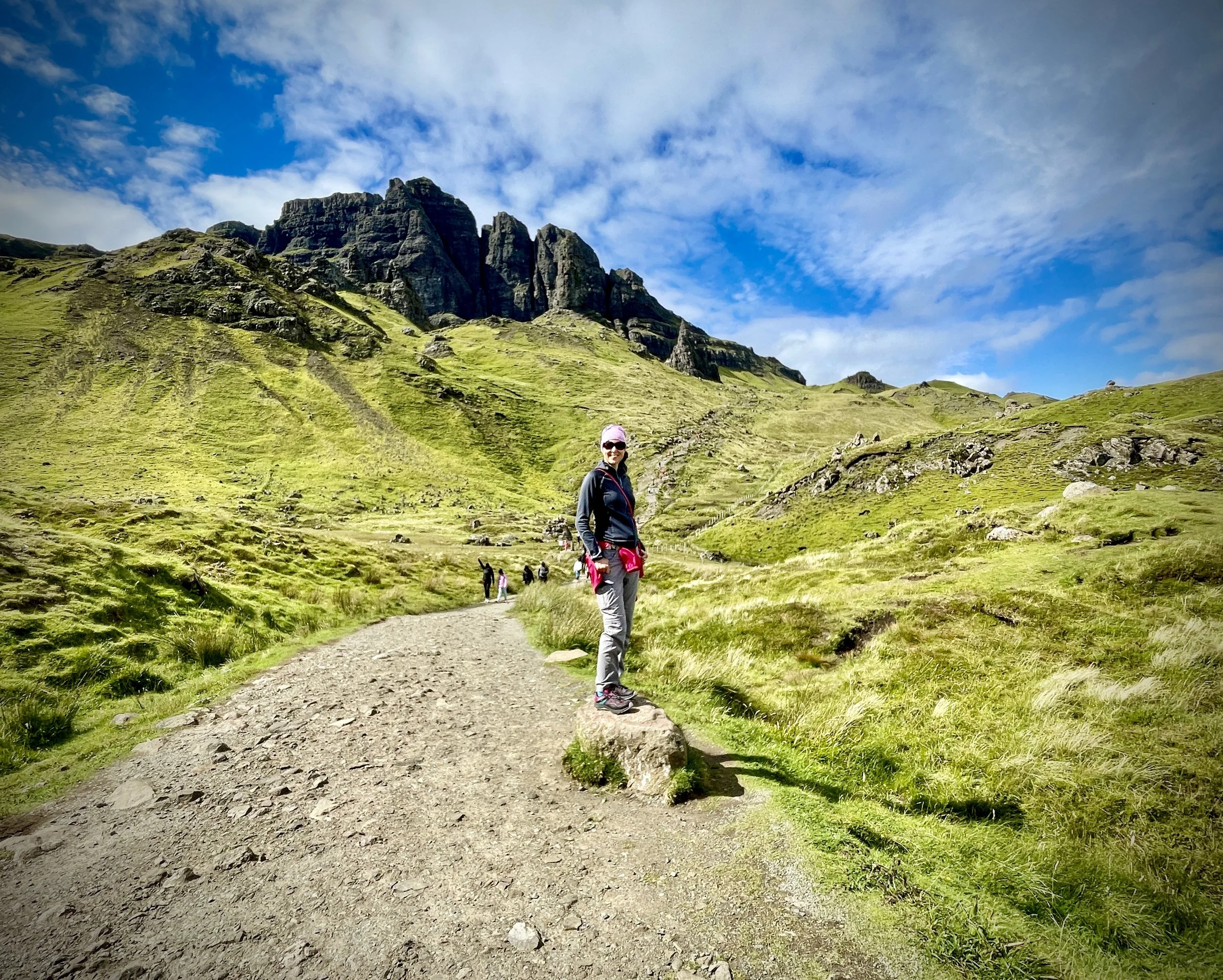
Walking to the Old Man of Storr, Skye

The Old Man of Storr and Needle Rock
Start & Finish: Old Man of Storr Car Park, Skye, IV51 9HX
Distance: 5.1 km (3.2 miles)
Elevation change: +/- 300m
GPX File: get via Buy Me a Coffee
Other routes touched (walk): Skye Trail
Other routes touched (cycle): None
Pubs / Cafes on route: Cafe at the car park
Map: Skye – Trotternish and the Storr Map | Uig | Ordnance Survey | OS Explorer Map 408
Links: Isle of Skye, Trotternish NSA, The Storr
We had just 2 days on the Isle of Skye on a short Scottish Roadtrip. Given how far away Skye is from home we decided to bag the easy “must-see”s on this trip and save larger adventures for later. The Old Man of Storr is definitely a must-see so we drove straight there from our previous night’s accommodation at Spean Bridge. Storr’s must-see status made parking predictably tricky, even for a large parking area. Once parked we picked up the tourist trail towards the main view point just over 2.2 km from the car park.
It’s easy to see why this is so popular. The rock formations are spectacular, especially on a clear day like we had. our original plan was to continue past the view point and take an anti-clockwise circular route that takes in the summit of The Storr mountain. As The Storr is also the high point of the Trotternish National Scenic Area, it would have been another great box-tick. The wind had picked up and it was getting late in the day so we decided to skip the circuit and return back to the car instead.
Rather than go straight back on the same route we took a small diversion to the right of Needle Rock that takes you right up close to The Old Man. I recommend checking this out as it’s quieter than the main route and I managed to get some of the best photos of the day from the base of The Old Man. On the final descent we took another diversion on the longer, less steep route to the car park.
Points of Interest along or near to the Route
The Old Man of Storr: A large pinnacle of basalt created by post‑glacial landslip, formed where thick Palaeogene lava flows overlie softer Jurassic rocks. The pinnacle is a resistant fragment left standing after the largest continuous landslide system in Britain reshaped the Trotternish escarpment.
The Storr: The highest point of the Trotternish Ridge at 719 metres, formed from thick Palaeogene basalt lava flows overlying Jurassic rocks. Its dramatic cliffs and pinnacles result from major post‑glacial landslides, and the summit offers extensive views across the Sound of Raasay to the Torridon mountains.
Trotternish National Scenic Area (NSA): This area is recognised for its unique landslip geology. The landscape here is a result of millions of years of volcanic activity and subsequent erosion, creating a dramatic, shifting terrain that is unlike any other part of Scotland.
Skye Trail: The Old Man of Storr is a key segment of this long-distance route. The trail traverses the length of the Isle of Skye, offering walkers some of the most rugged and remote scenery in the United Kingdom.