Posts tagged Millennium Milepost
Cycling The NCN 51 from Milton Keynes to Oxford
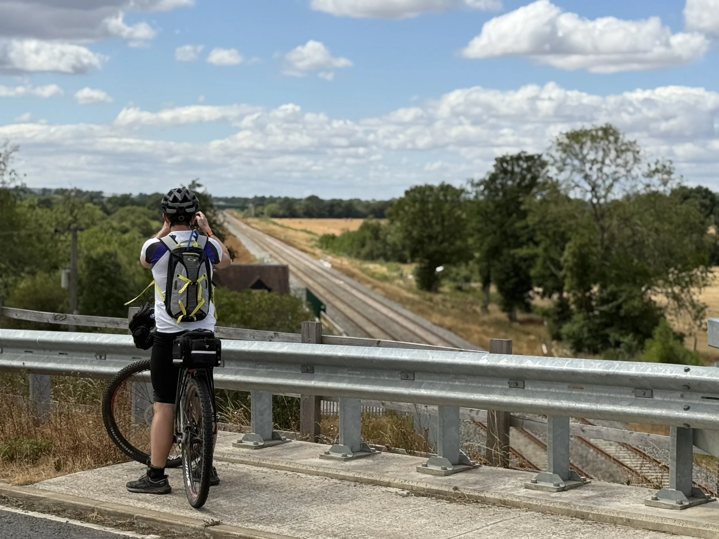
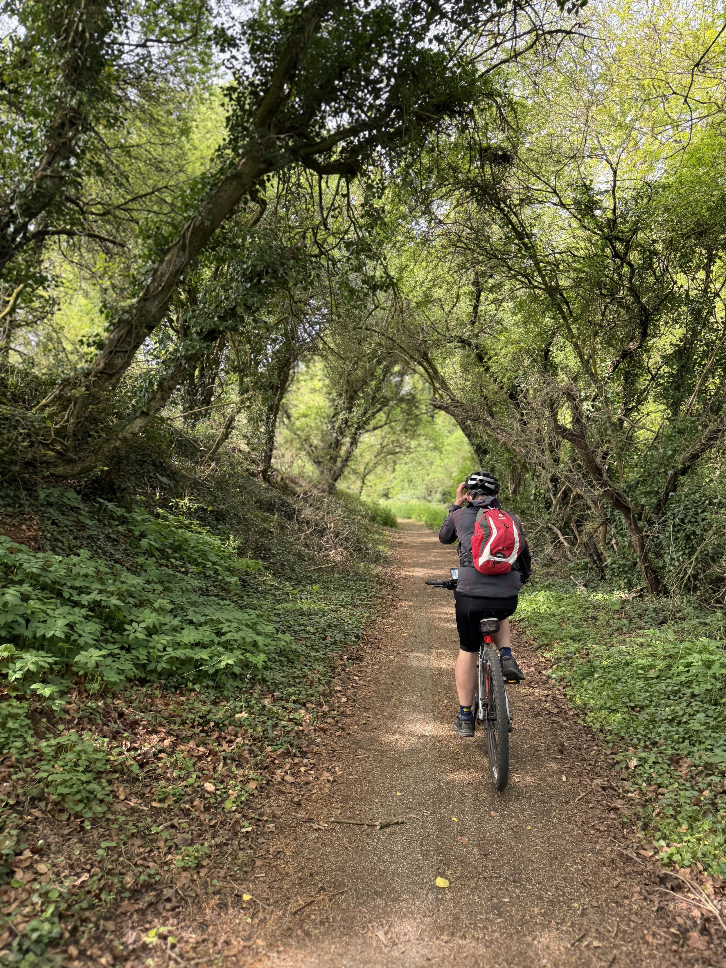
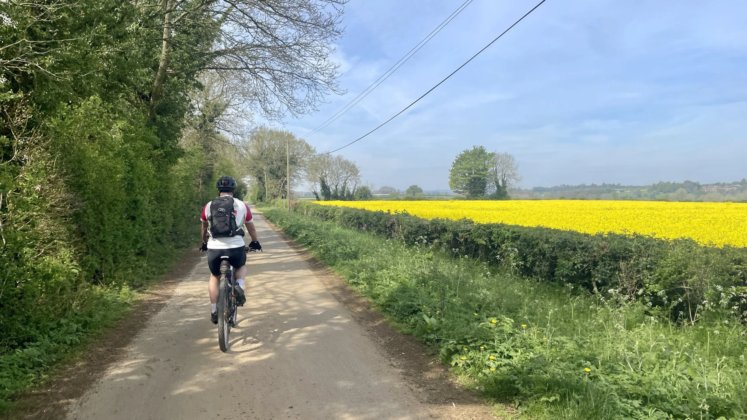
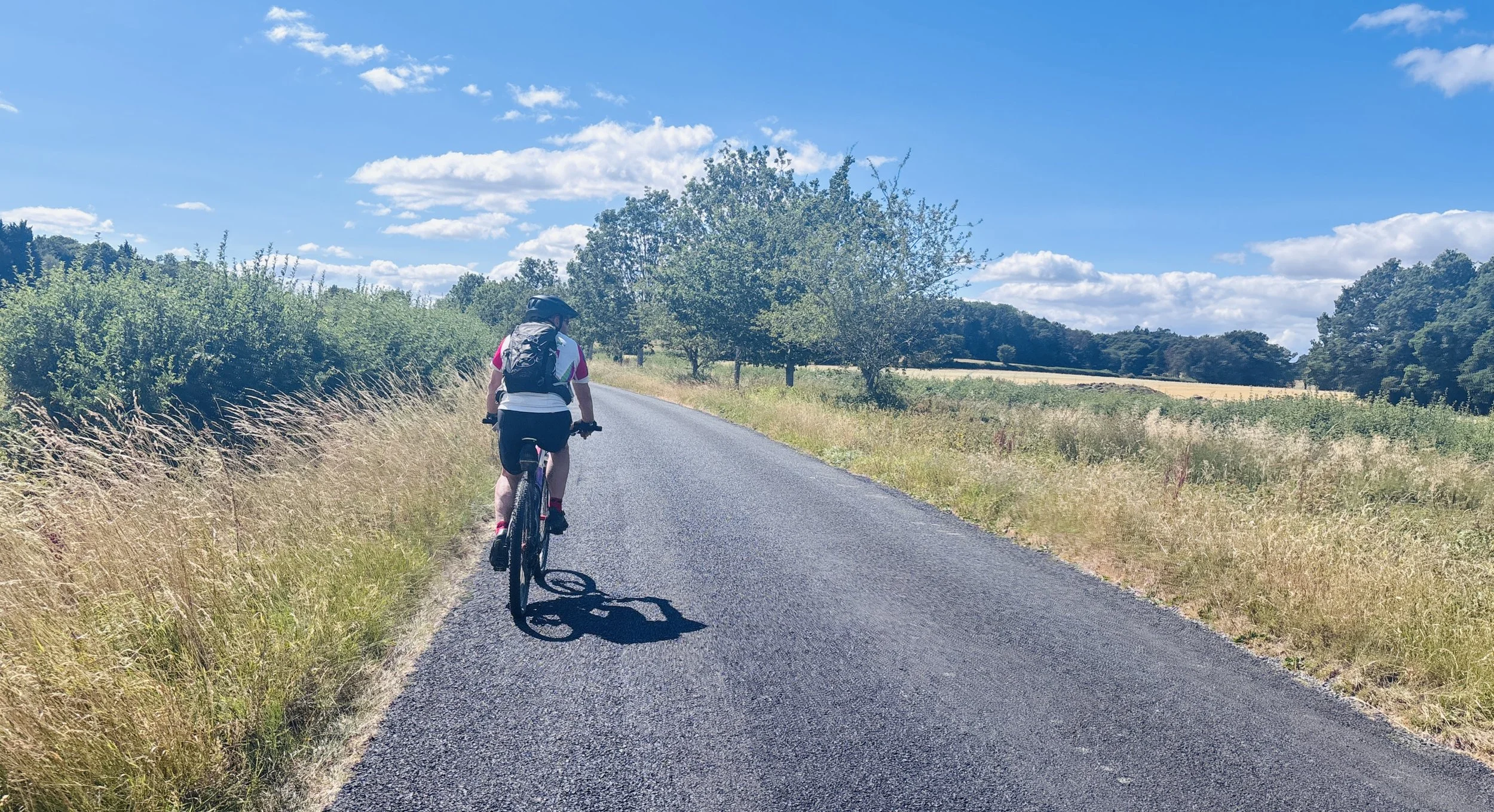
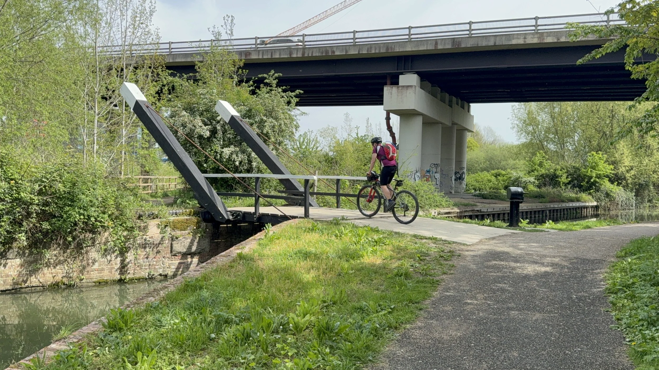
Cycling the NCN 51 in the countryside near Kidlington

Near Kidlington


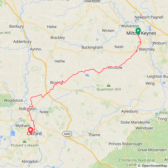
Start: Milton Keynes Central Railway Station, Phoenix House, Milton Keynes, MK9 1AW
Finish: Oxford Station, Park End Street, Oxford OX1 1HS
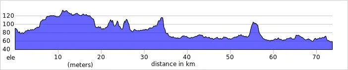
Distance: 73 km (45 miles)
Elevation change: +338 / -367m (-29m)
GPX File: get via Buy Me a Coffee
Other routes touched (walk): Milton Keynes Boundary Walk, Cross Bucks Way, Midshires Way, Brentwood Jubilee Way, Langford Heath Route, Oxfordshire Way, Oxford Green Belt Way, Kidlington Circular Walk, Oxford Canal Walk
Other routes touched (cycle): NCN 5, 50, 51, Milton Keynes Redways: V2, H8, National Byway
Pubs / Cafes on route: Several. We stopped a Legends in Winslow (17 km in), Twyford Village Stores and Coffee Shop (31 km in) and The Bell, Hampton Poyle (58 km in)
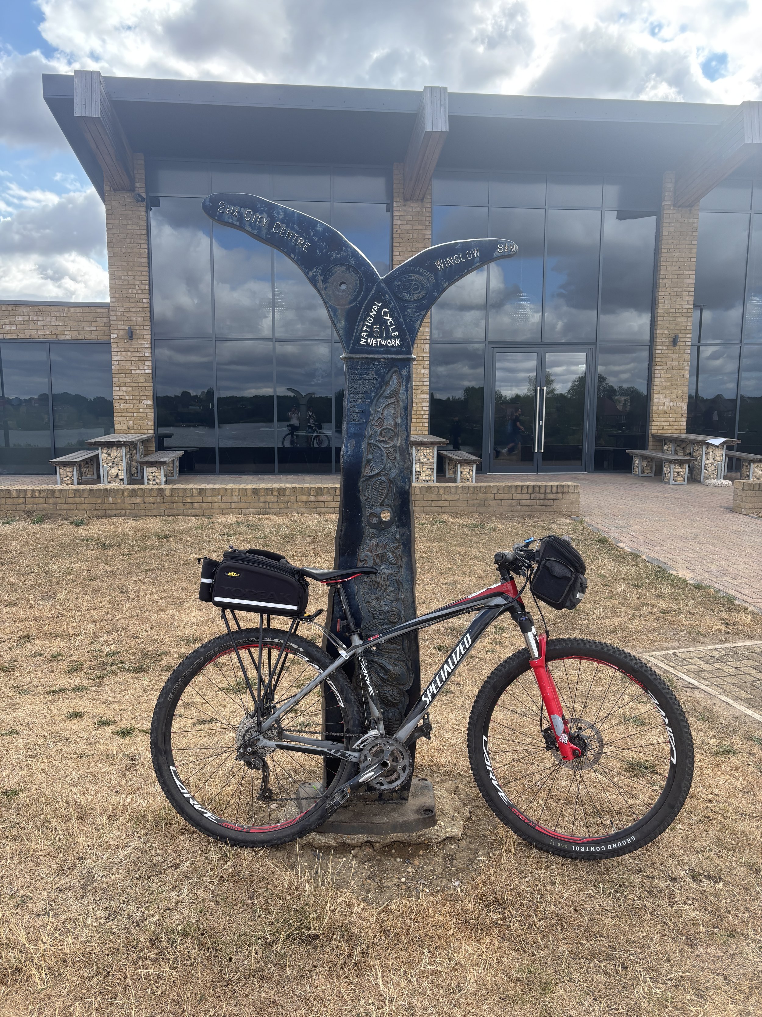
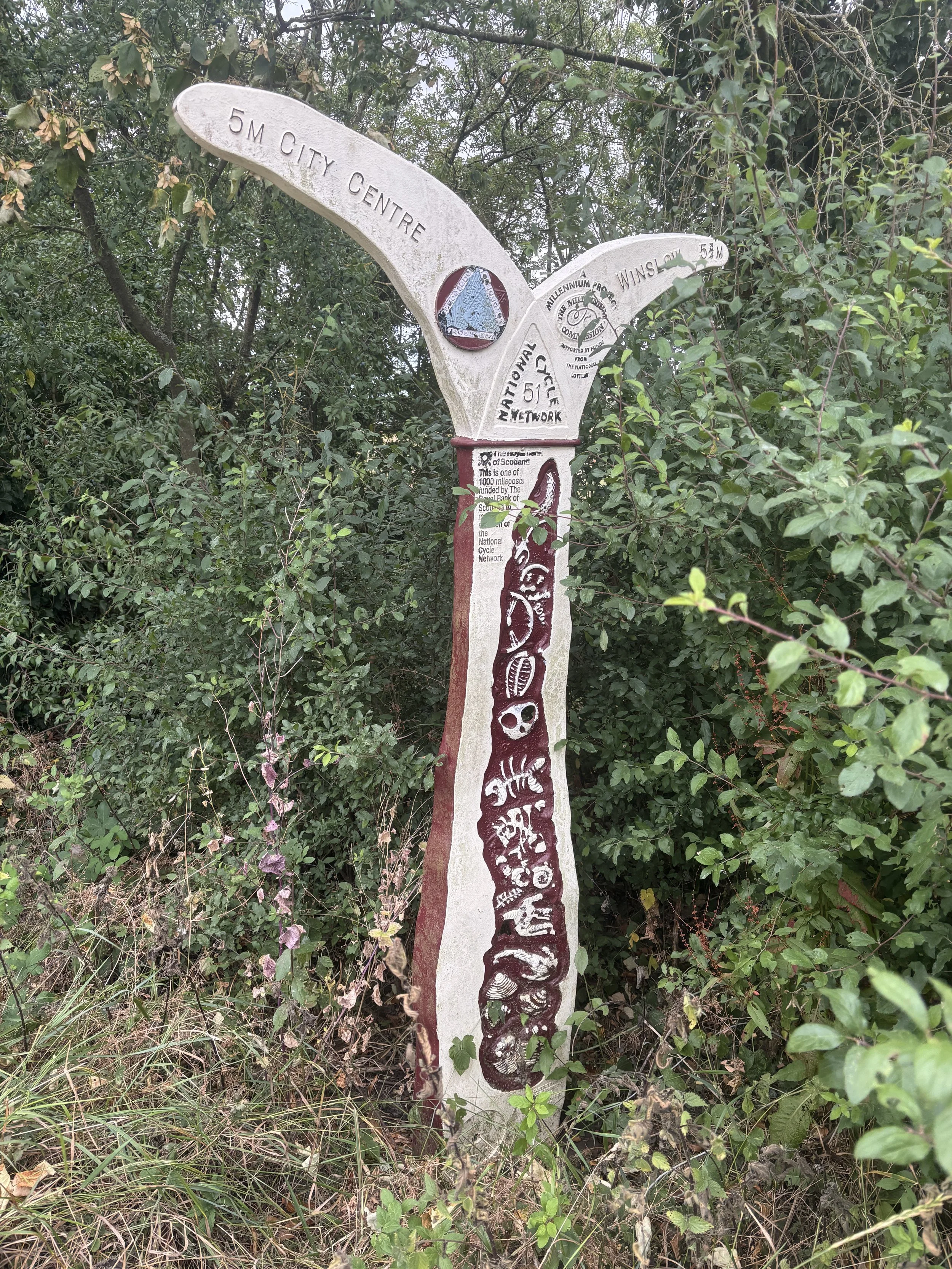
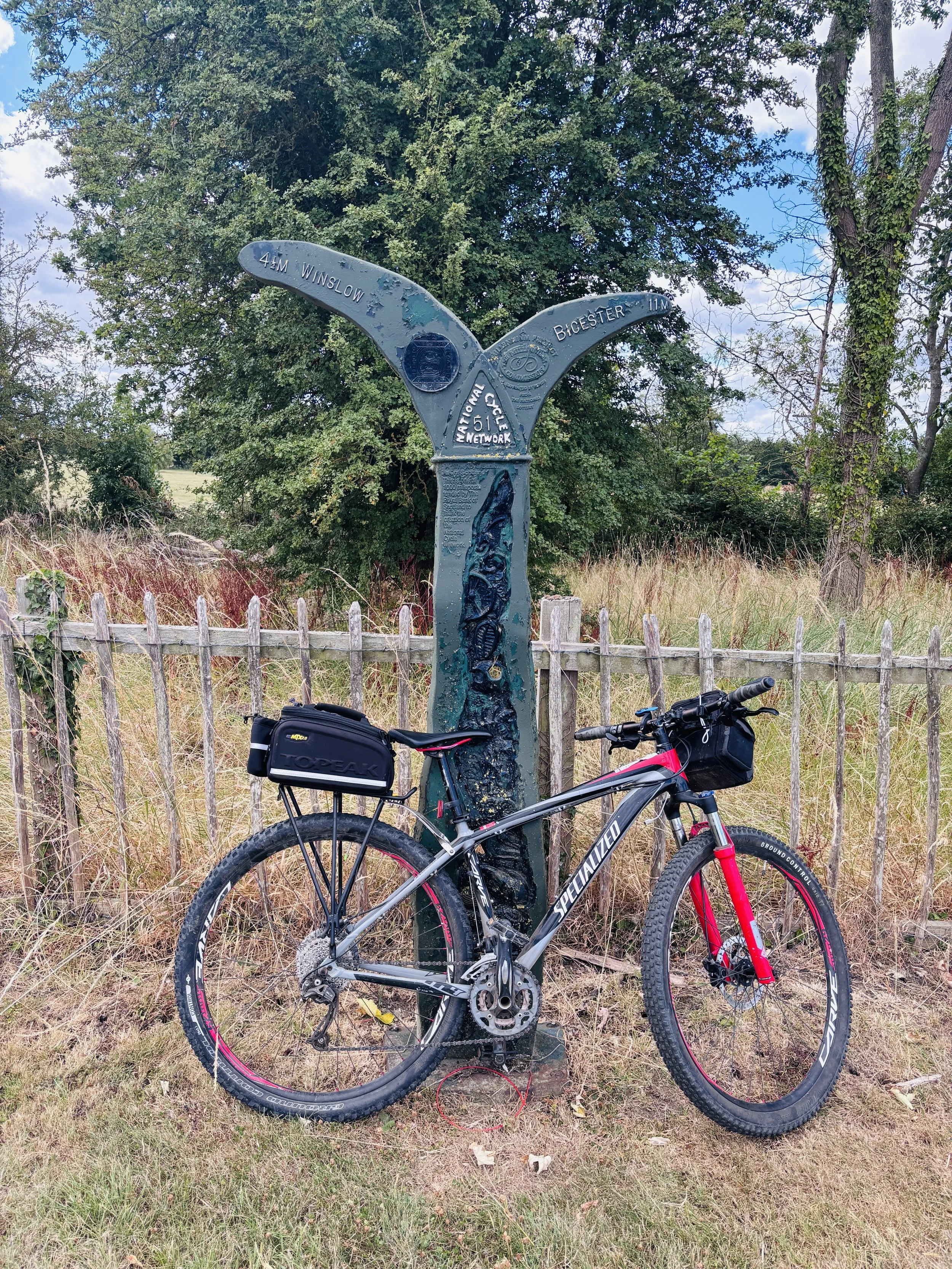
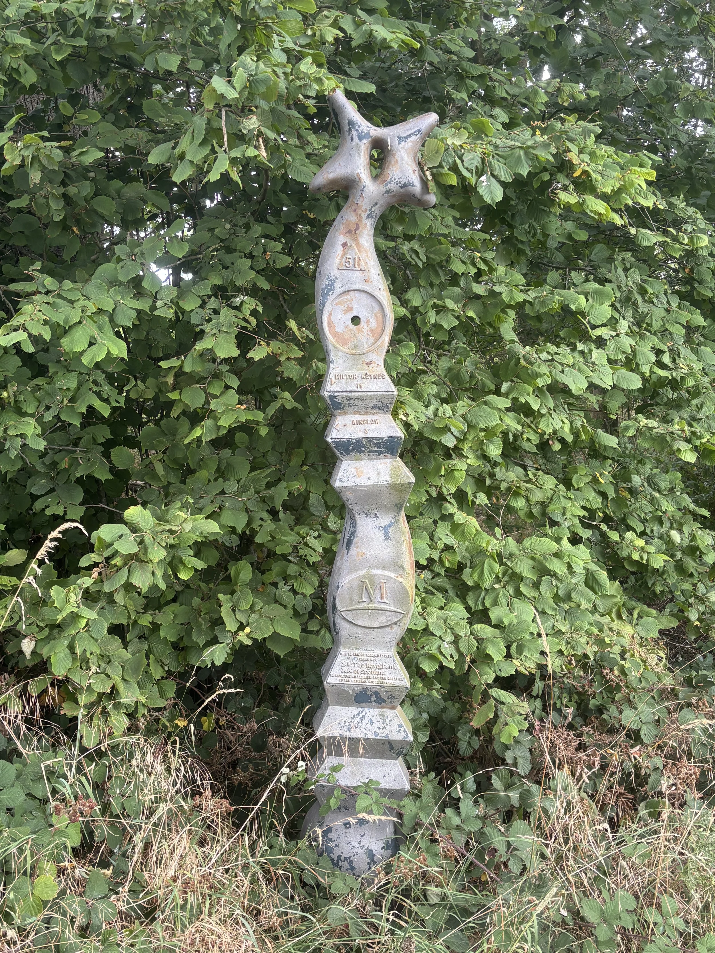
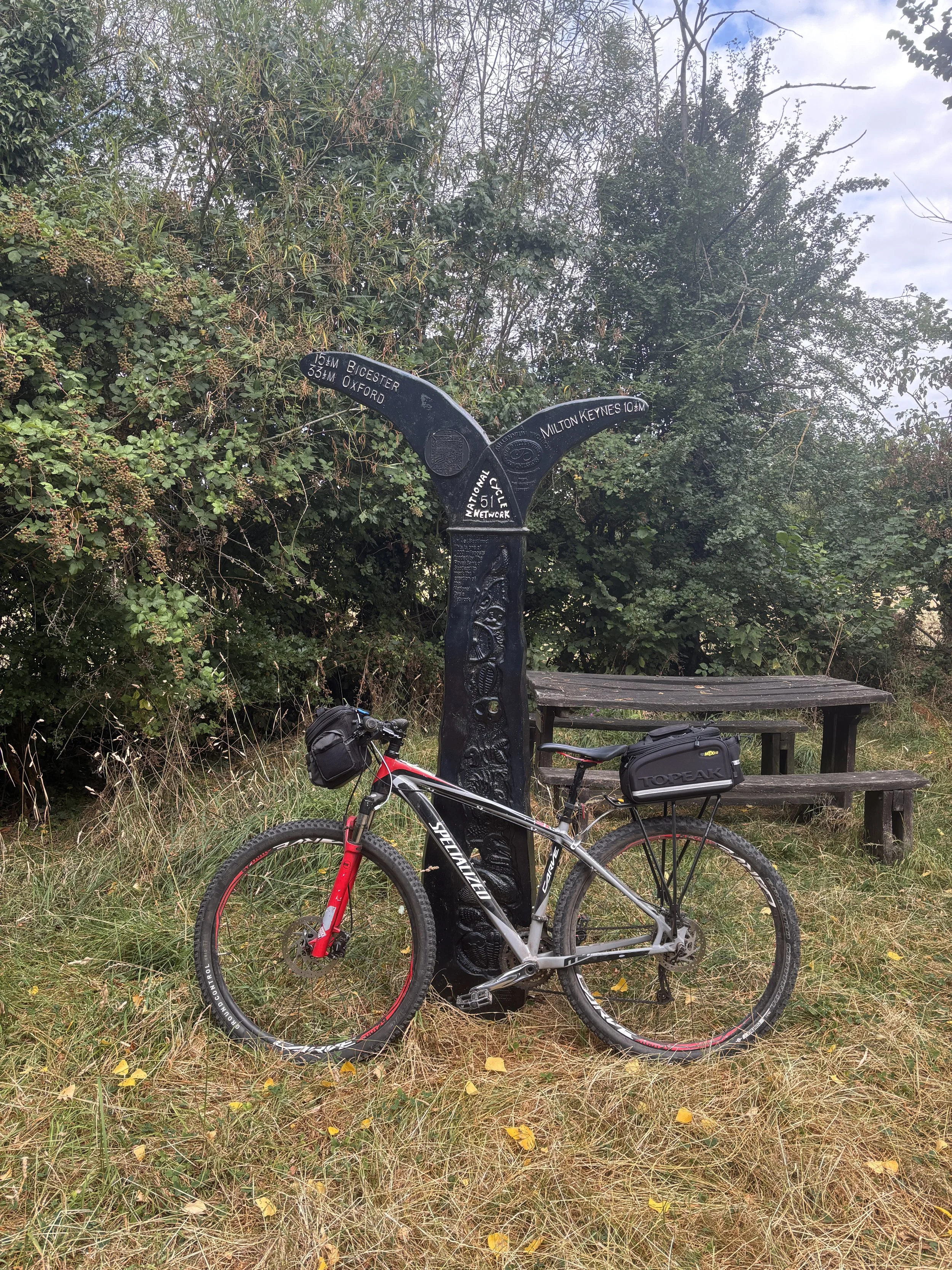
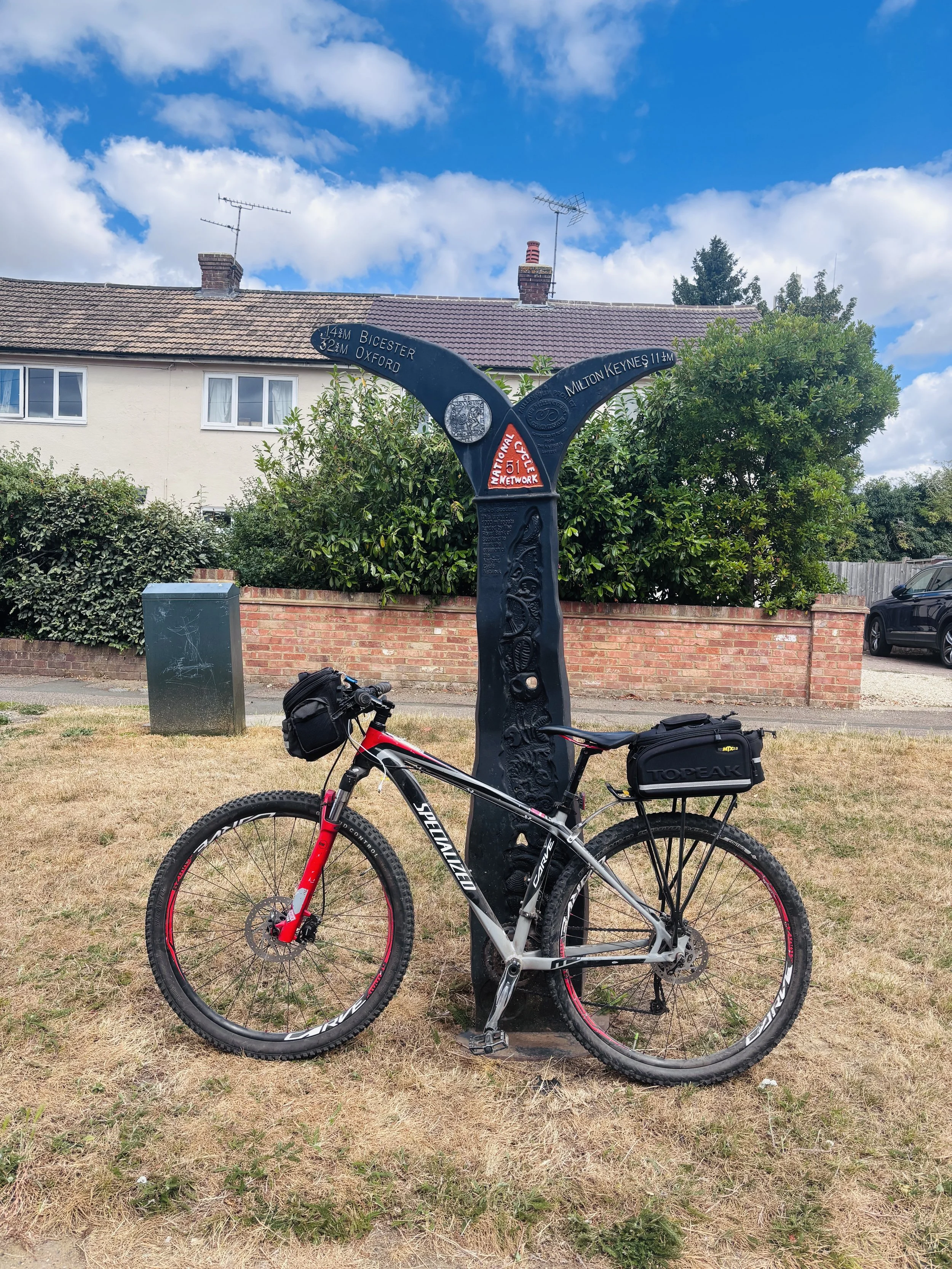
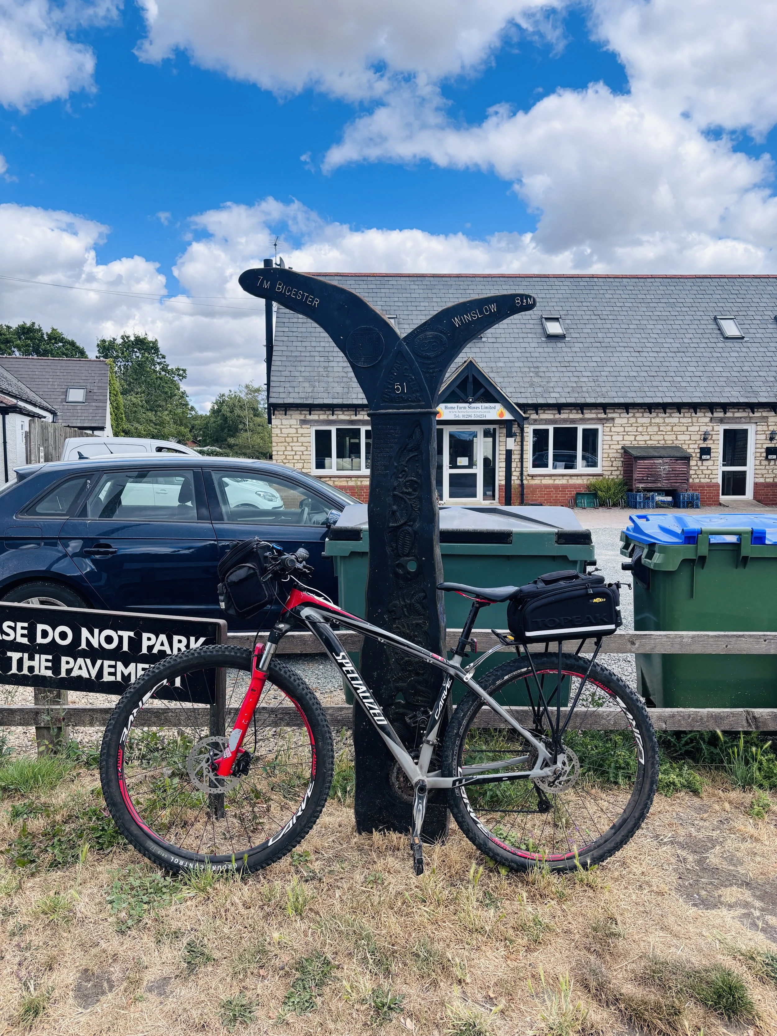
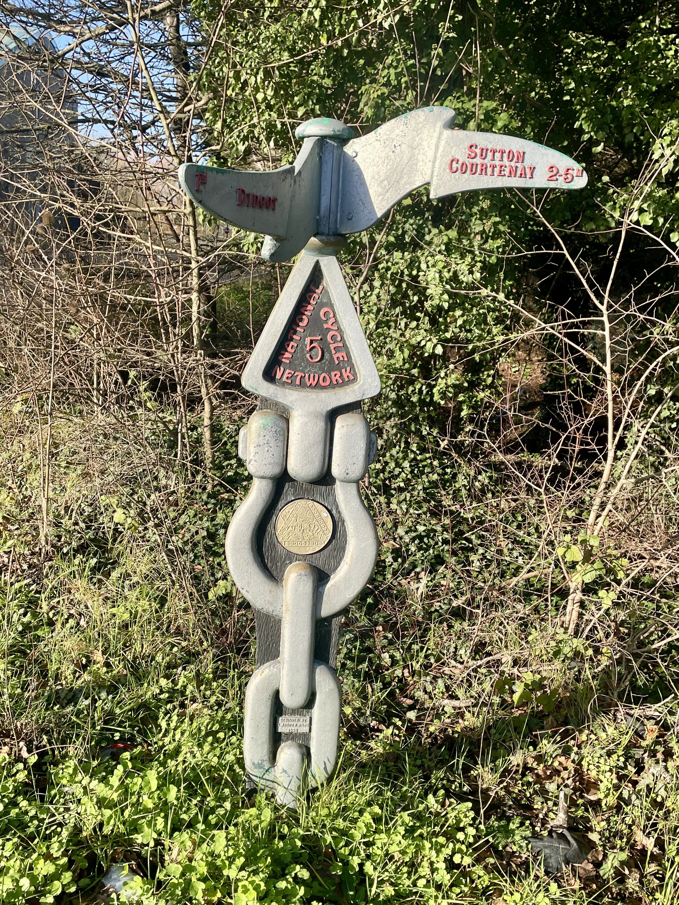
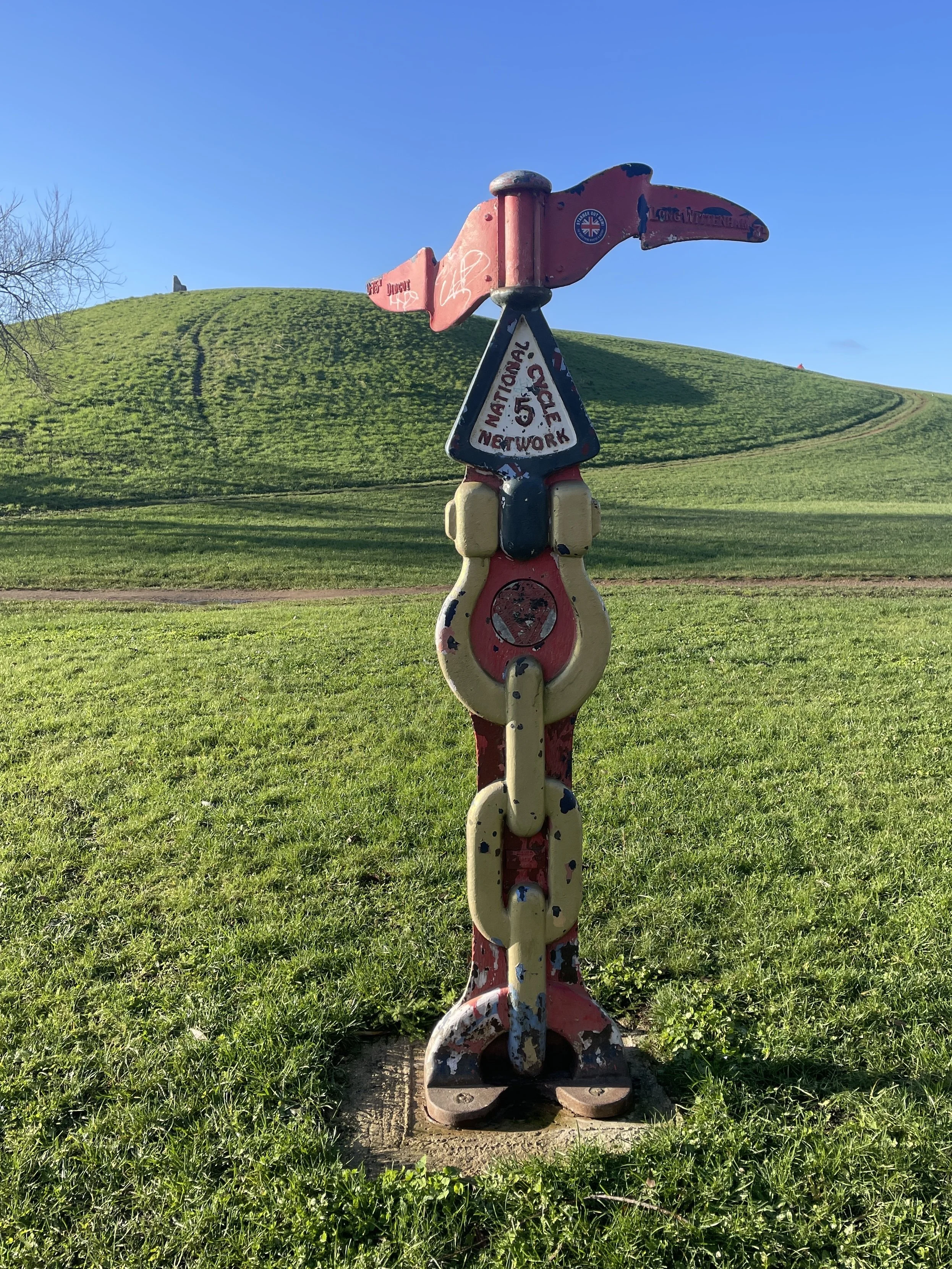
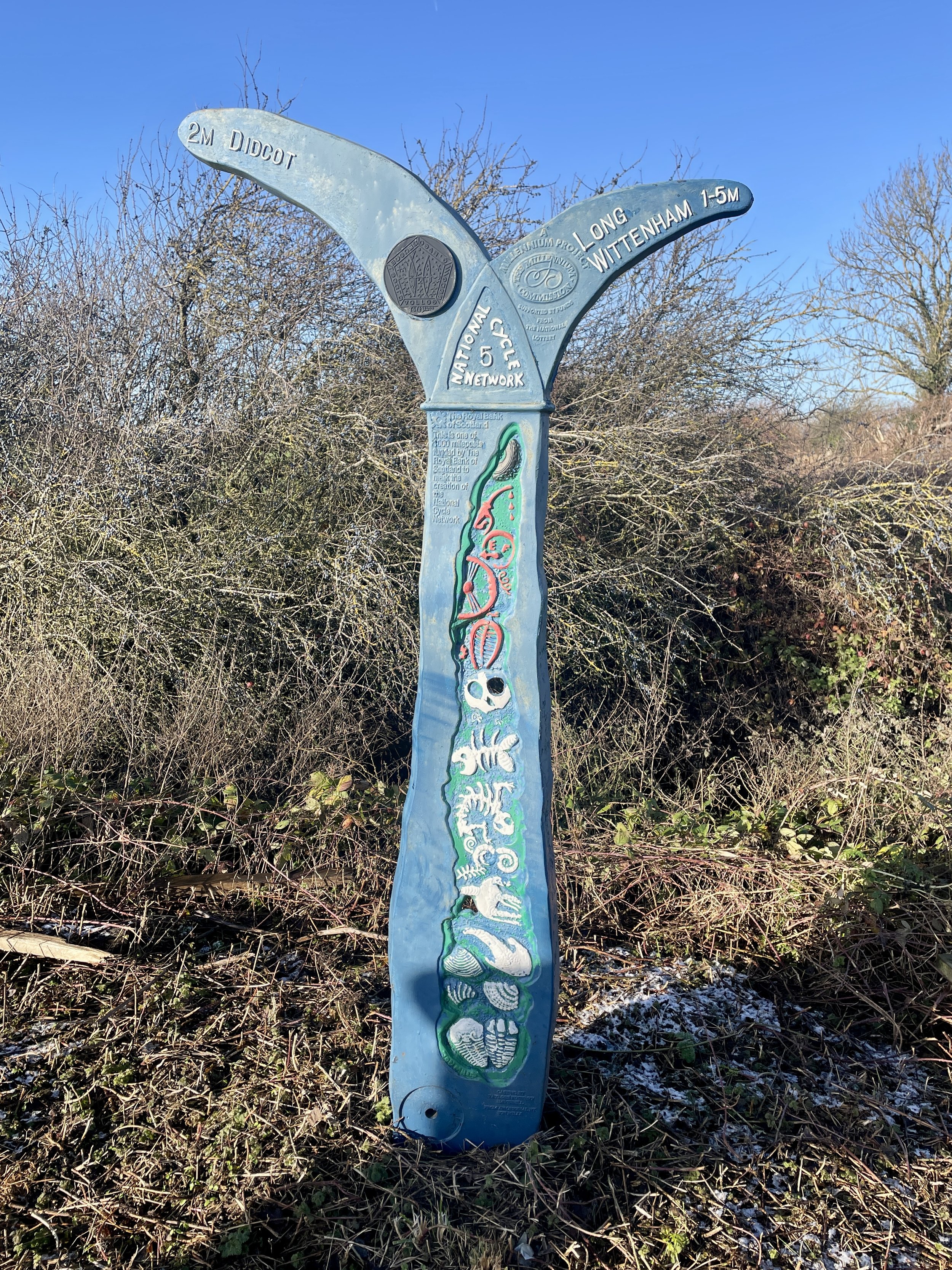
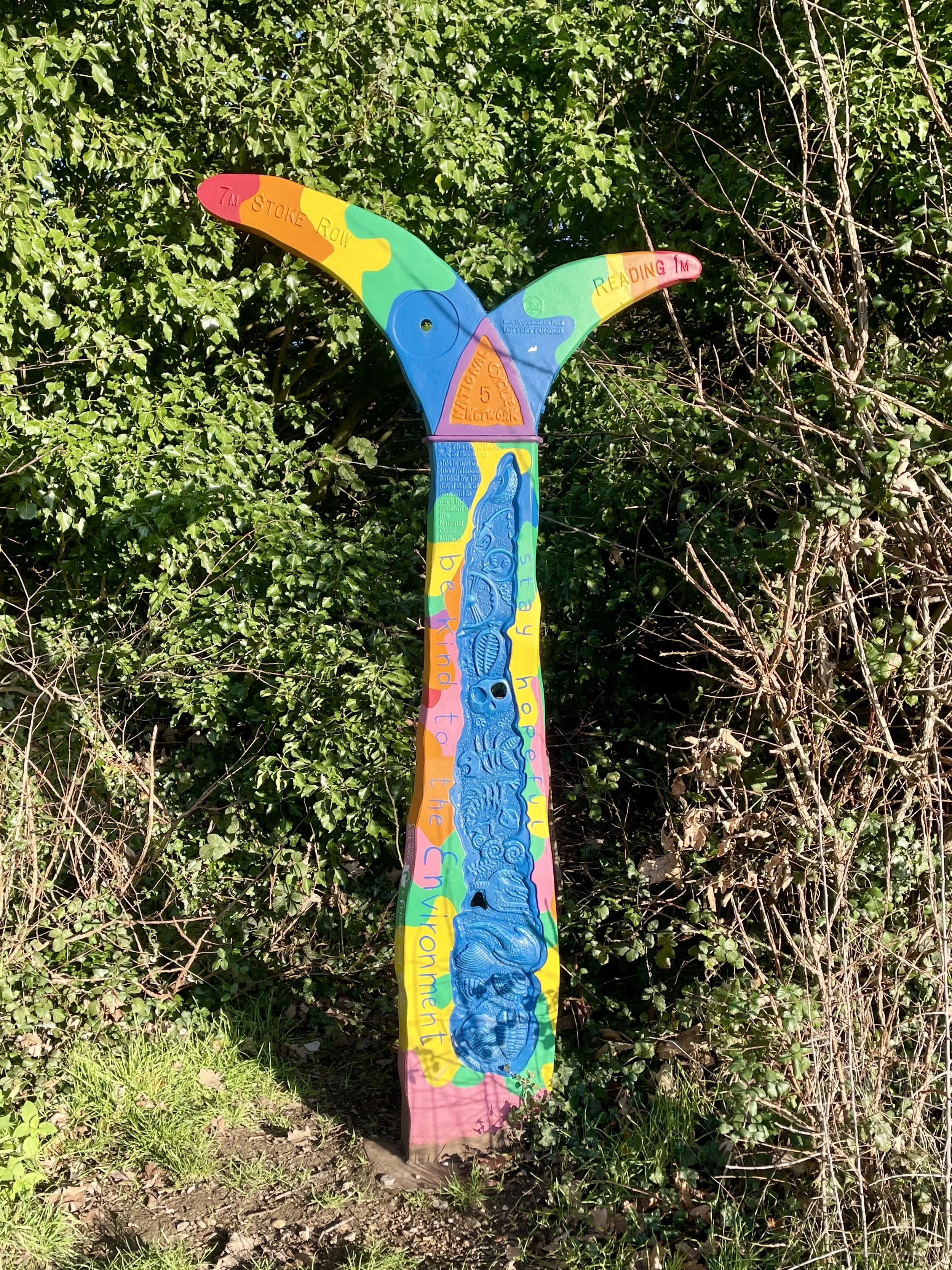
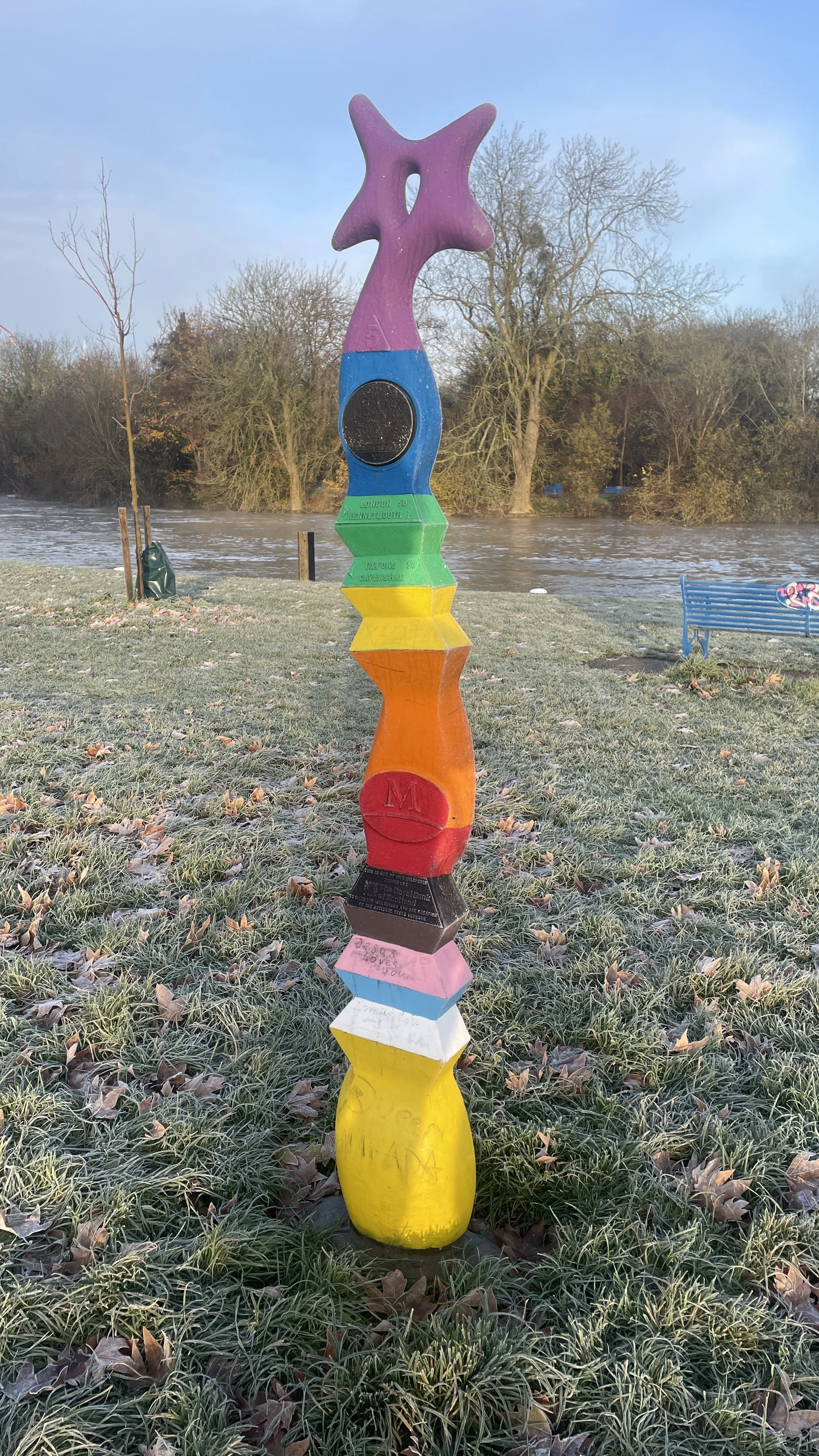
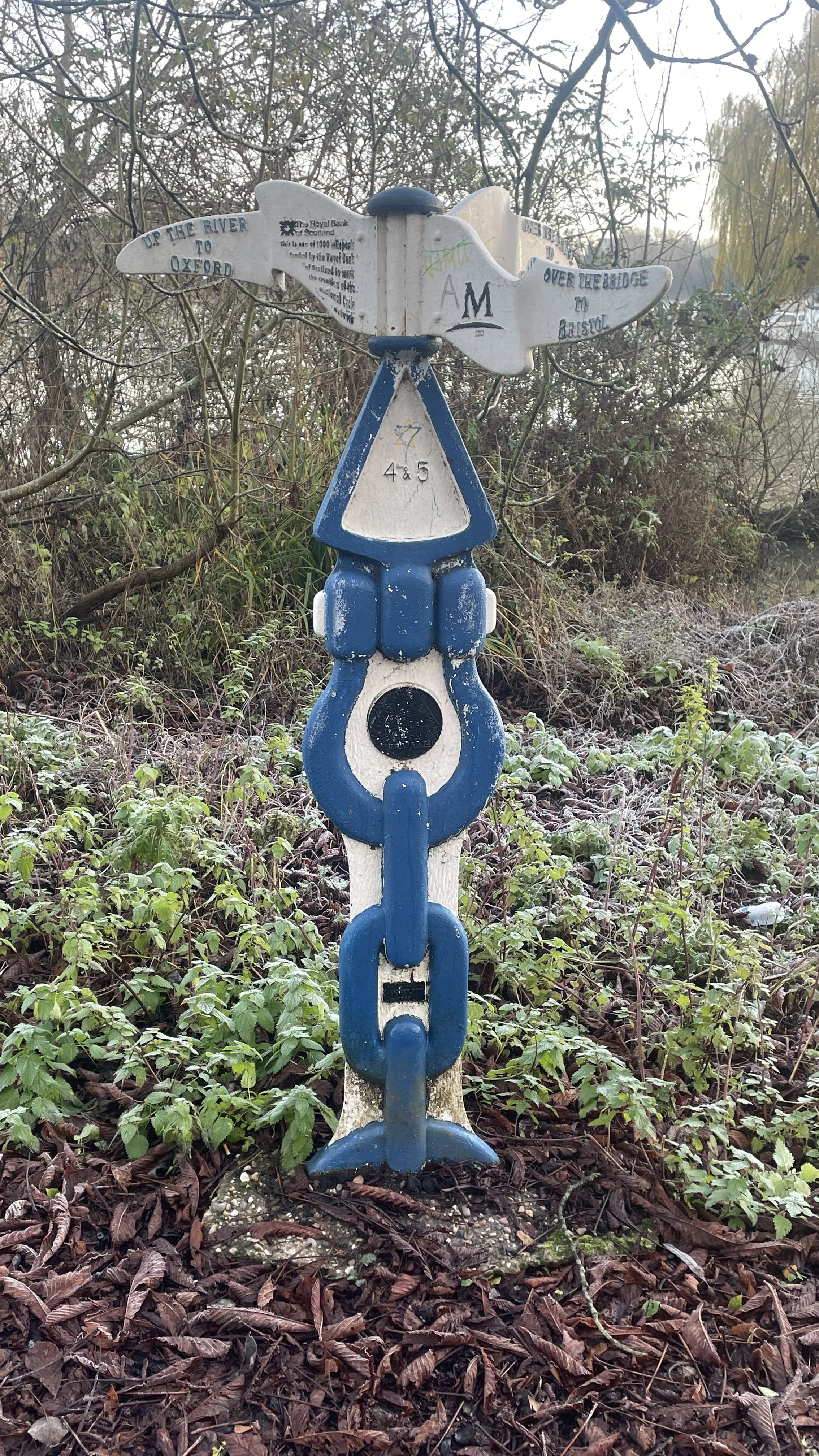
Millennium Mileposts: 574, 575, 271, 533, 534, 536, 576, 272, 273, 535
Maps:
- Buckingham & Milton Keynes Map | Leighton Buzzard & Woburn | Ordnance Survey | OS Explorer Map 192
-
Banbury, Bicester & Chipping Norton Map | Brackley | Ordnance Survey | OS Explorer Map 191
- Oxford Map | Witney & Woodstock | Ordnance Survey | OS Explorer Map 180
Links: Milton Keynes, Winslow, Middle Claydon, Steeple Claydon, Twyford, Bicester, Bletchingdon, Kidlington, Oxford


This ride was the next in our series of cycling the National Cycle Network routes in the south-east of England. We have been tackling these as short, one-day sections. It was also a brilliant chance to bag a number of Millennium Mileposts, as this section of the NCN 51 started out with a remarkably rich seam of them.

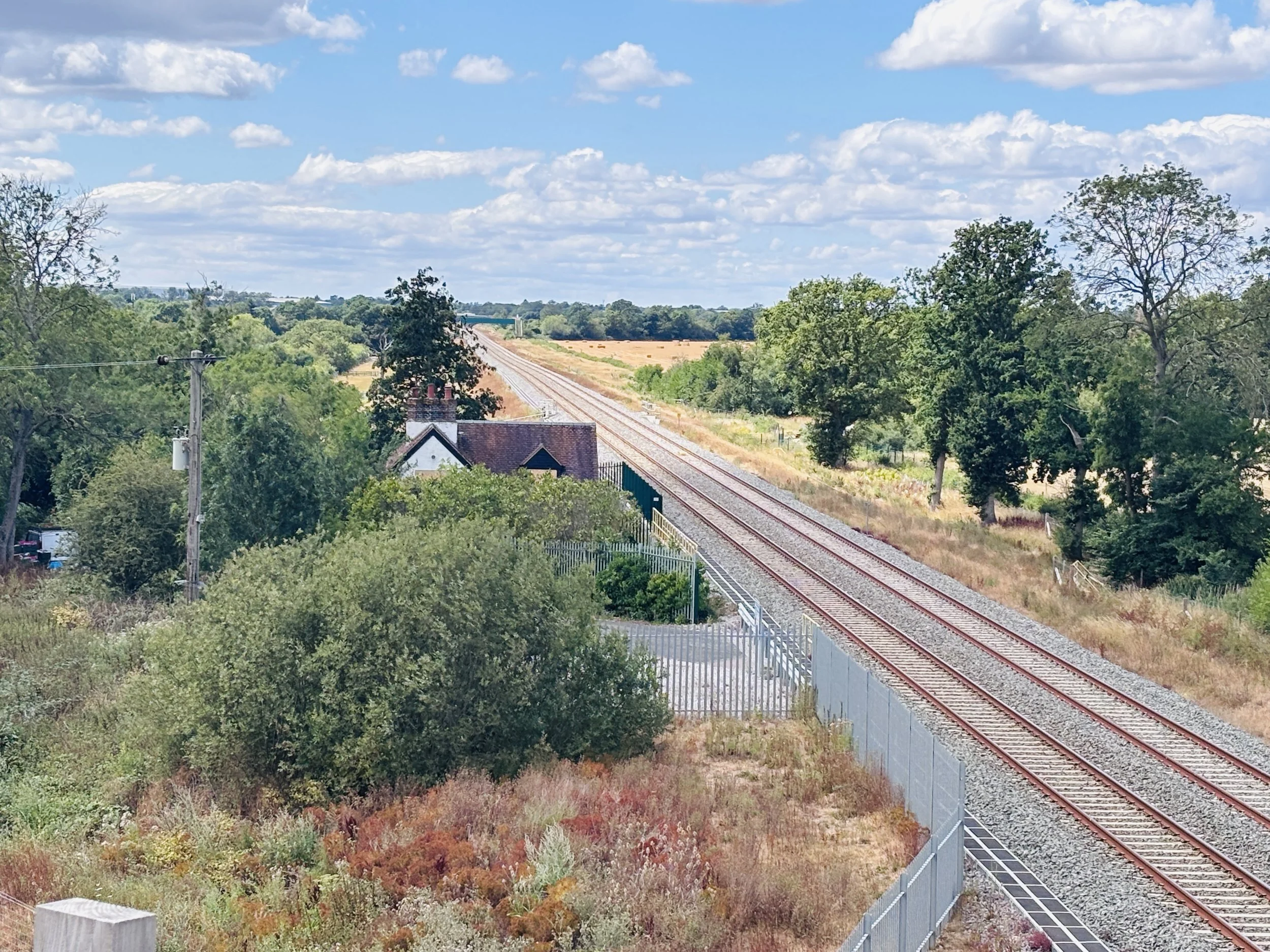
Ideally, we would have used the train to get between Oxford and Milton Keynes to start the ride. Sadly, the East West Railway line, affectionately known as the old Varsity Line, is still not open for passenger services.

That would have been perfect because we could have parked at Oxford, caught the train to Milton Keynes, and then simply cycled back. As it happened, we had to rely on a two-car shuffle. This meant meeting at Oxford, parking one car there, loading the bikes into the other car, driving to Milton Keynes, parking there, and then cycling back to Oxford. After the ride, we had to do the reverse to pick up the car in Milton Keynes. It added an extra couple of hours to the trip, but it was absolutely worth it. We were eager to get this route done, and we genuinely didn't know how long it would be until the new railway line finally opens to passengers.

Since we spent so much time criss-crossing and riding near the railway line, I thought I would look up the history of it.

The original Varsity Line passenger service was withdrawn on the January 1st 1968. At the time, receipts were only half the operational costs, making it uneconomical to run. While many associate the railway closures of that era with the Beeching cuts, the decision to withdraw services along this specific line was actually taken by Tom Fraser, the Minister of Transport. Over time, it became a disused railway, and the national cycle route now runs close to it and crosses it quite a few times.

Nowadays, there is a major project underway to reopen the line as the East West Rail, which will eventually link Oxford, Milton Keynes, Bedford, and Cambridge. The line is being built on the old Varsity Line corridor. The section between Oxford and Milton Keynes has been rebuilt with new track, bridges, and signalling, and was officially handed over to Network Rail in December 2024.

However, if you are wondering why we couldn't just hop on a train, there is conflicting information online about the actual opening date. Some sources state that the Oxford to Milton Keynes section was originally set to open in 2025, while others now indicate that services might not start until December 2026. A significant reason for the delay is a dispute with rail unions over a proposal for driver-only operation. There have also been delays attributed to the need to complete train preparation, staff training, and final works at the new Winslow station.

So, for now, the two-car shuffle was our best option!

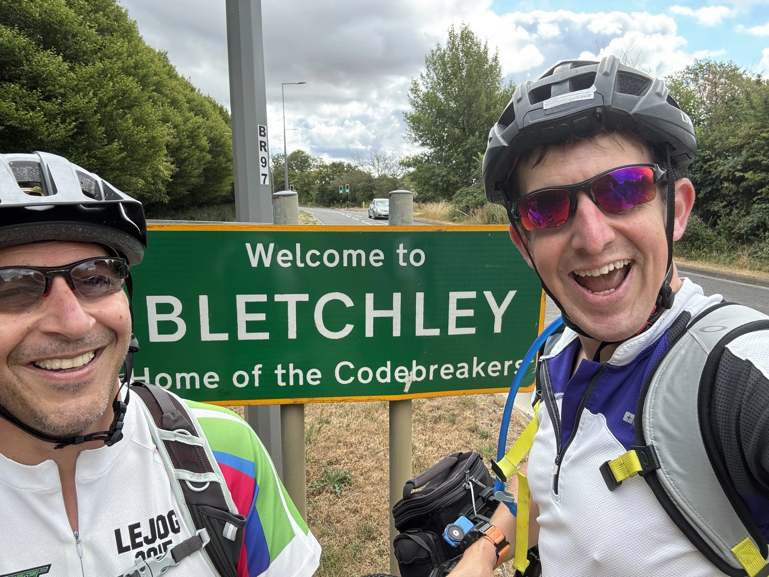
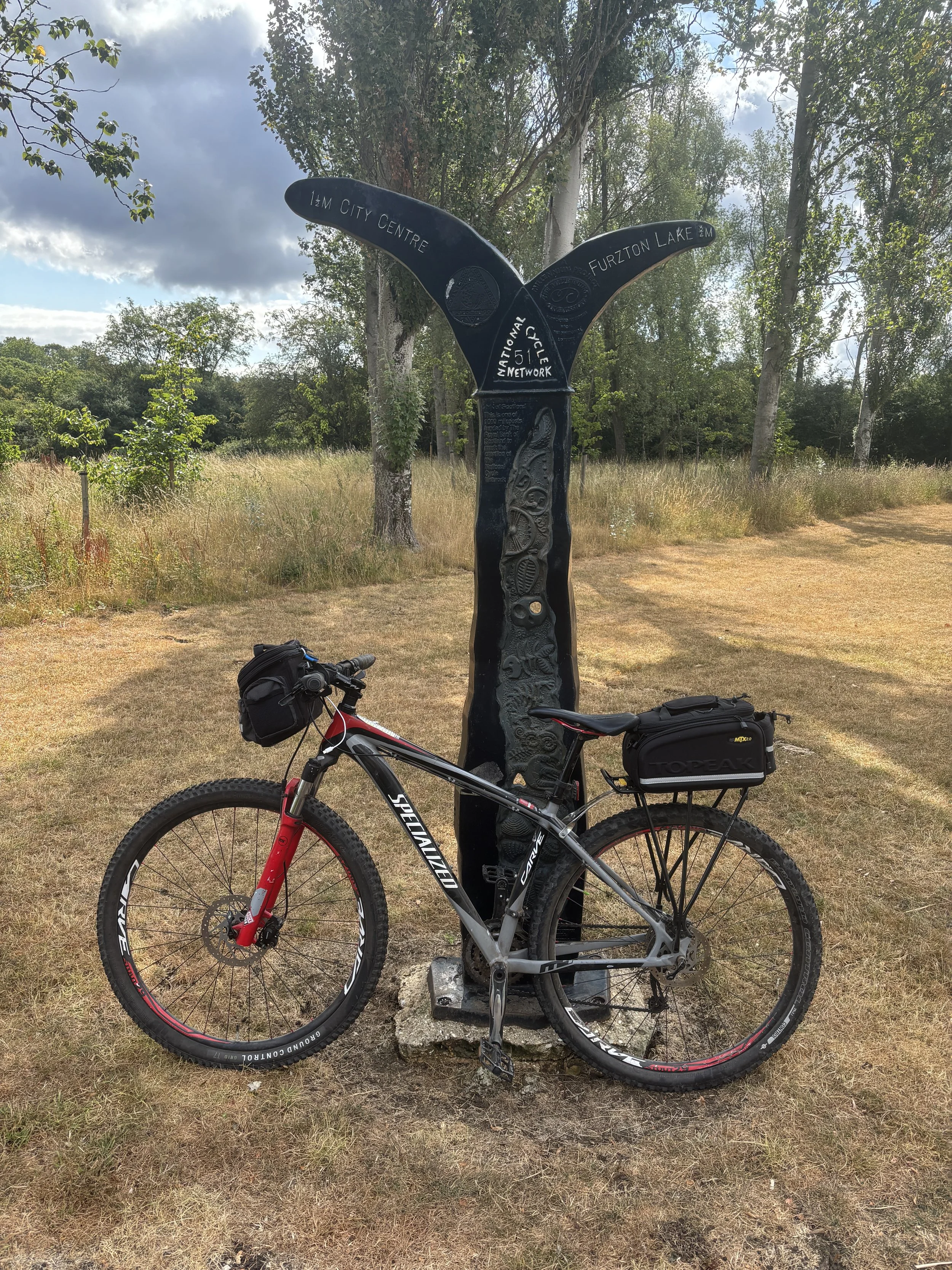
We set off from Milton Keynes, immediately hitting that rich seam of Millennium Mileposts I mentioned earlier. We were ticking them off rapidly as we navigated the lakes and green spaces of MK, passing the Teardrop Lakes and Furzton Lake.

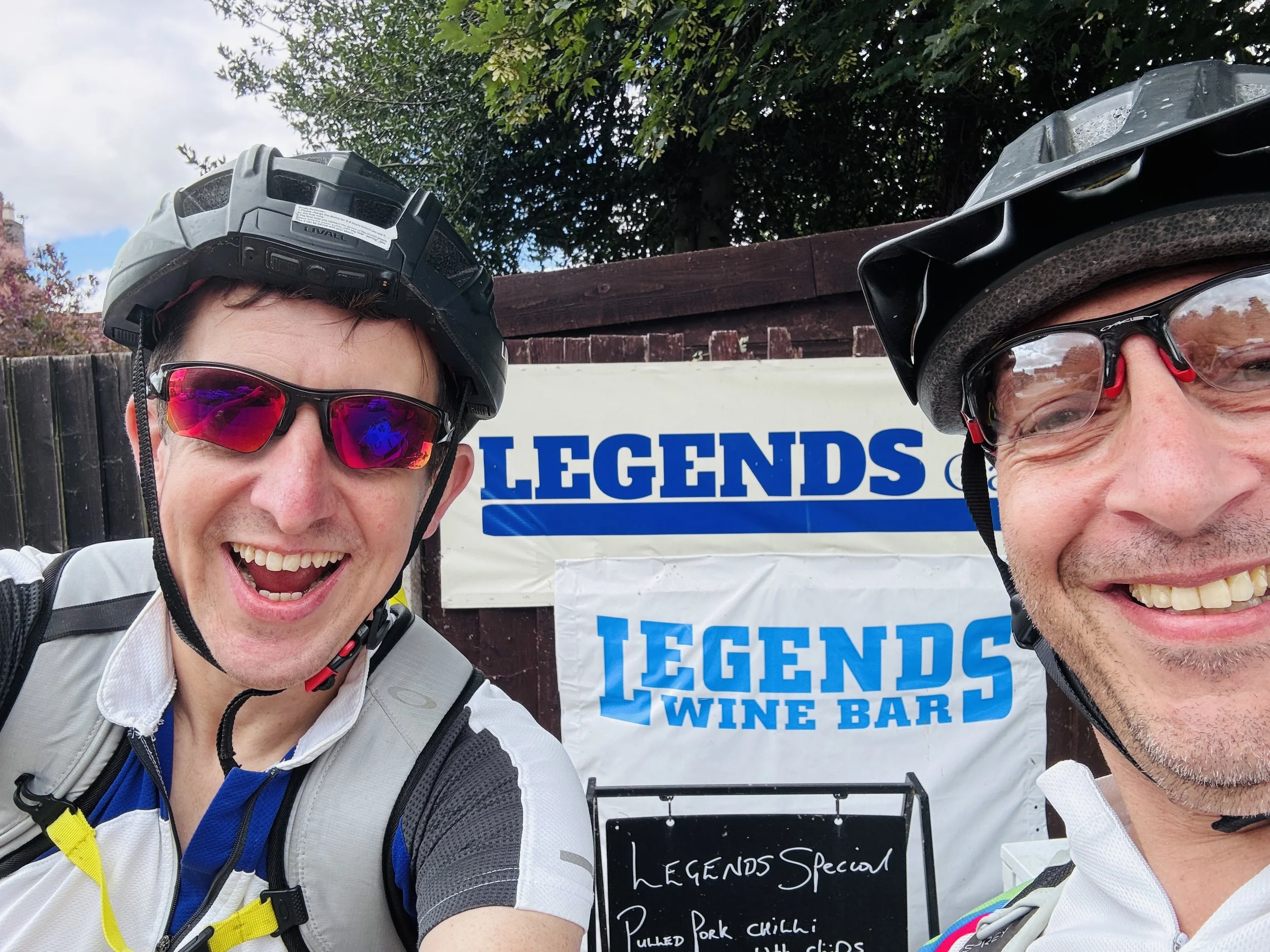
As we pedalled further into the Buckinghamshire countryside, the route guided us towards the market town of Winslow. By this point, we were well due for a break and decided to stop at a cafe called Legends. To be perfectly honest, we chose it mostly because it was the only place open at the time, but it turned out to be a fantastic find. It has a lovely garden at the back which was easily accessible for our bikes, the staff were incredibly friendly, and they served up some great coffee and cake to keep our energy levels up.

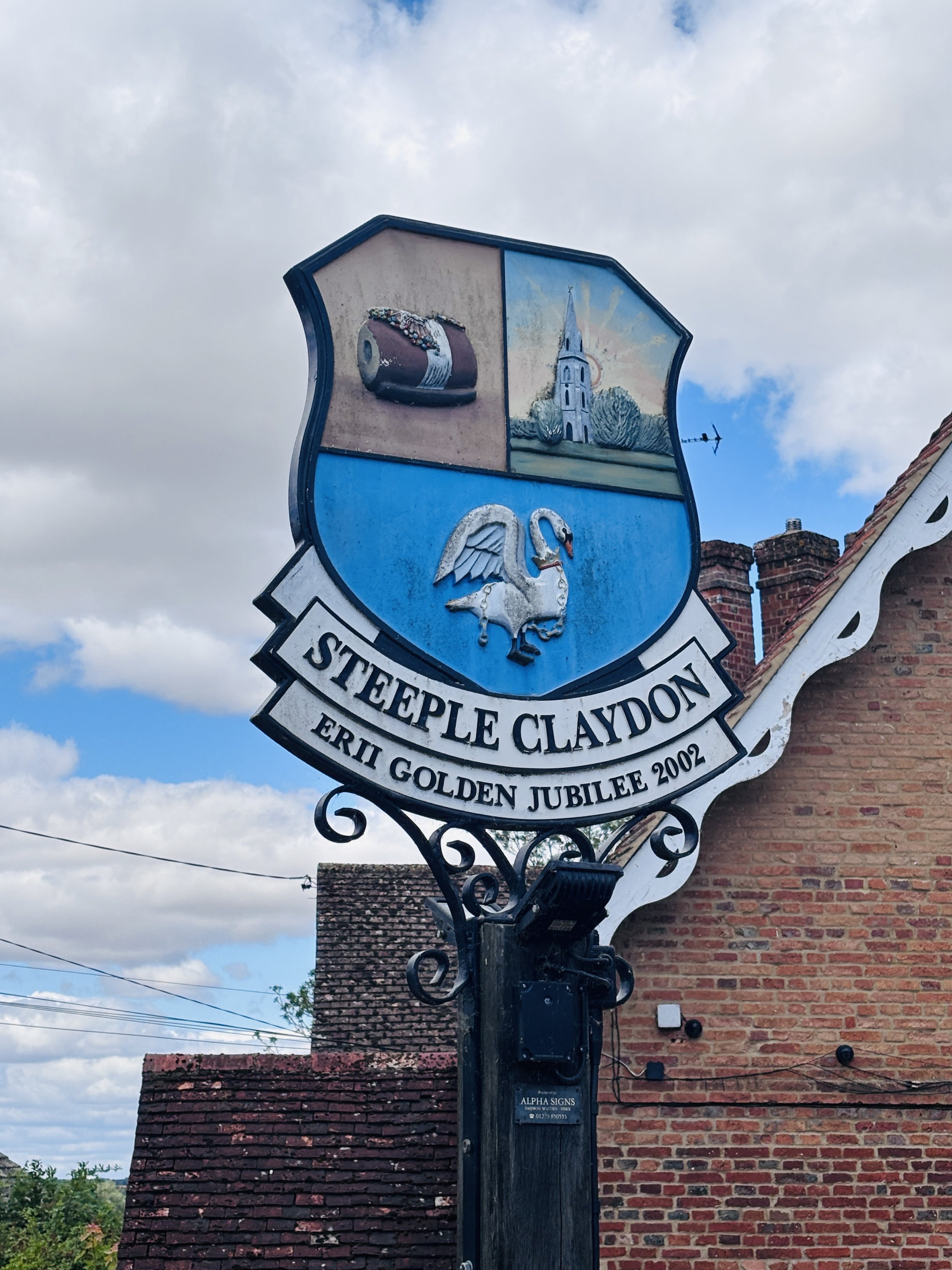
Back on the route, we passed through picturesque villages like Middle Claydon, continuing our successful milepost hunt. However, just after passing through Steeple Claydon, we got into HS2 construction territory. We quickly found that a short section of the cycle route was closed, forcing us to take a diversion. We ended up doing a roughly 5 km loop that effectively added about 4 km to our total mileage for the day.

It is worth noting for any cyclists planning to do this route: until the HS2 construction works are fully complete, there is likely to be some disruption along the way. I'd highly recommend either planning for it in advance or just assuming you will need to navigate around a diversion or two on the fly.

After making our way around the construction works, our next crucial target was the Twyford Cafe, located at a nearby campsite. We arrived by the skin of our teeth: just five minutes before they were due to close at 1 o'clock on a Sunday. Despite our late arrival, the staff were wonderfully accommodating and friendly. They kindly warmed up some pasties for us, which we took outside to eat after they had officially locked up the shop.

Setting off from Twyford with full stomachs, we noticed something a bit strange: after a fantastic run of Millennium Mileposts between Milton Keynes and Twyford, they completely dried up. We didn't spot a single one for the rest of the trip all the way into Oxford. I am not entirely sure why that is, but it seemed like a strange anomaly given how packed the first half of the route was with them.

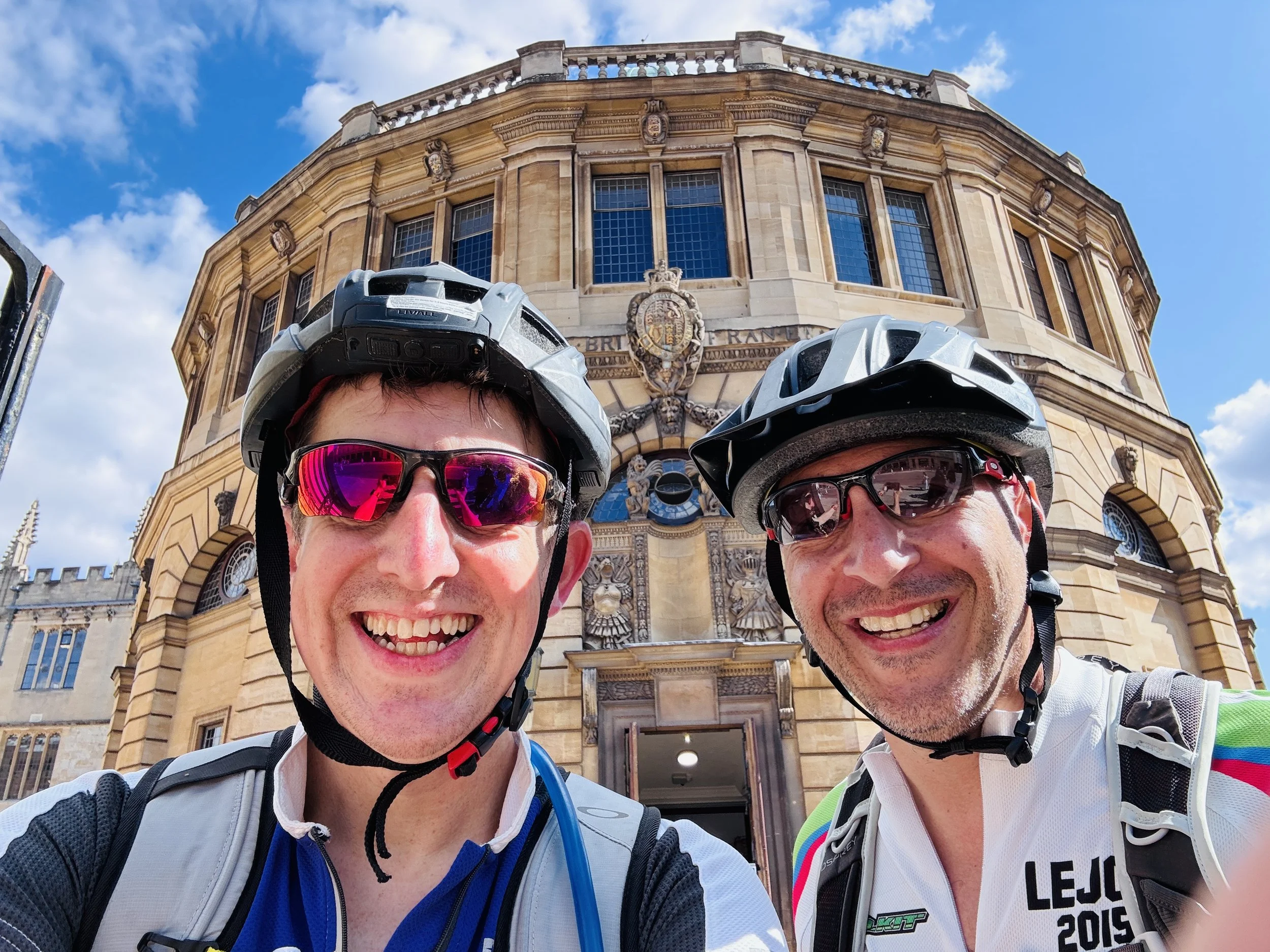
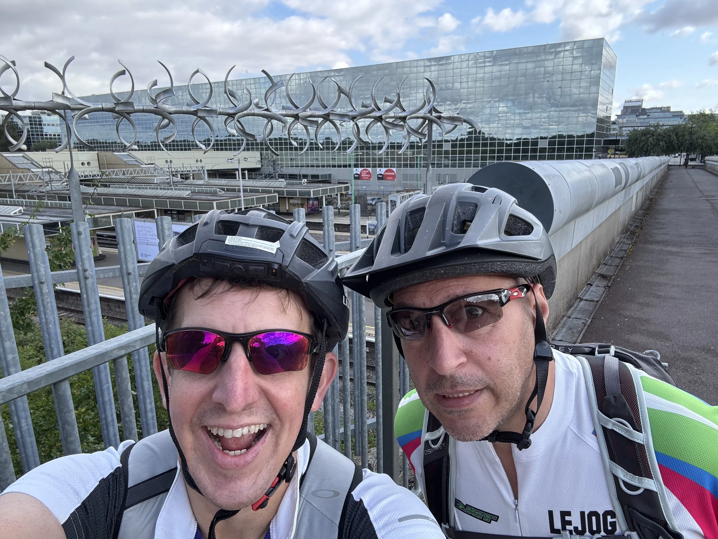
As we finally approached the outskirts of Oxford, I was in the zone and ready to just power on to the very end of the route to finish it off. However, Brian had a much more sensible idea: it was a beautiful afternoon, so why not stop, enjoy the city, and get some proper food before we headed back?

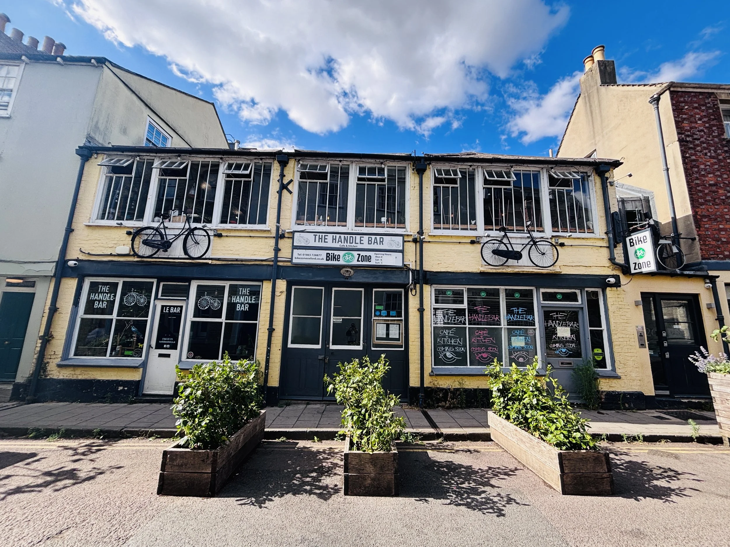
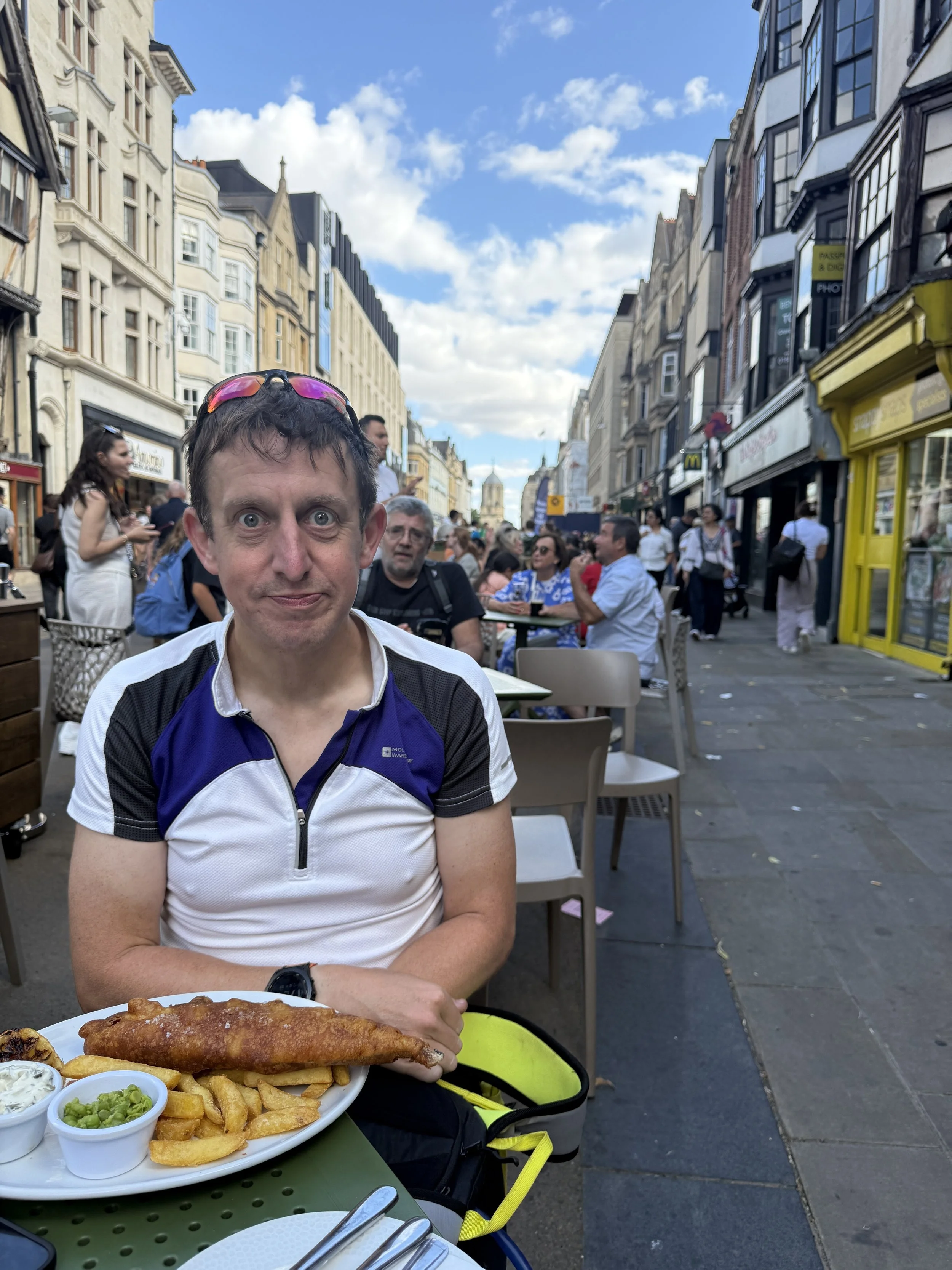
We decided to try and find the Handlebar cycle cafe, a choice driven almost entirely by our amusement at its funny name. Unfortunately, when we got there, we discovered it was closed. Undeterred by this minor setback, we found a local pub instead, where a classic plate of fish and chips did the job perfectly before we began the logistical shuffle of getting ourselves and the bikes home.
The Millennium Mileposts

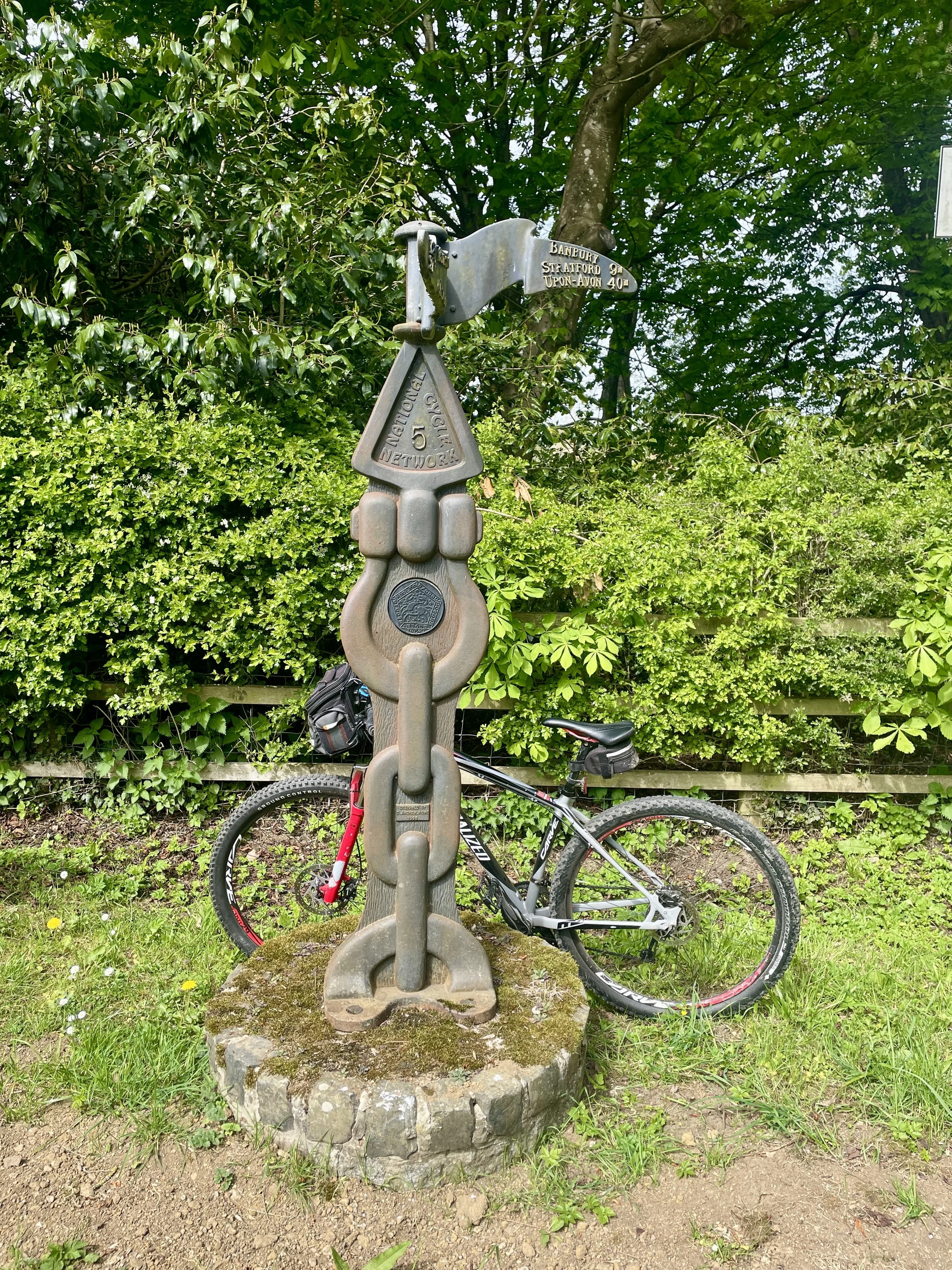
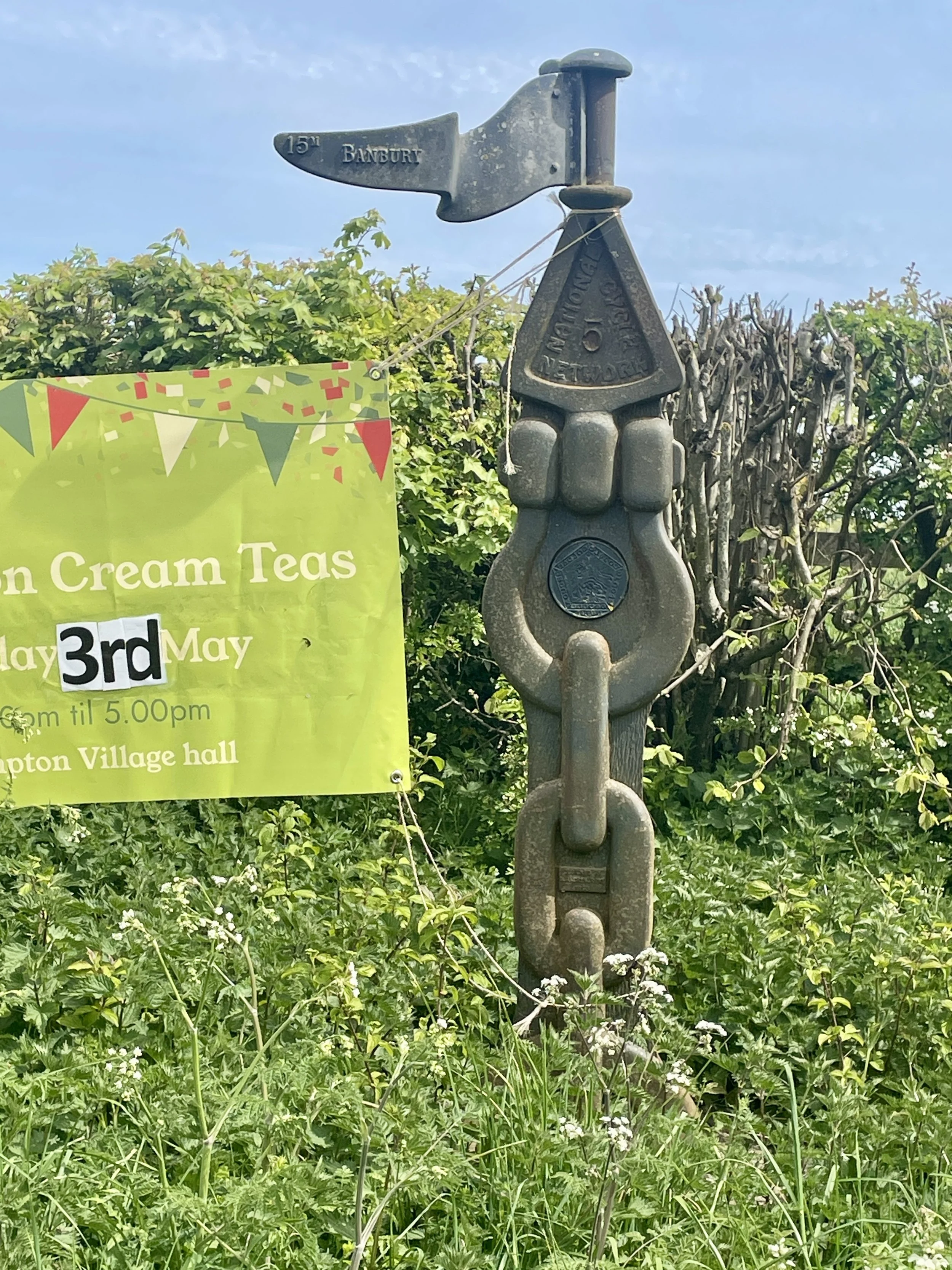
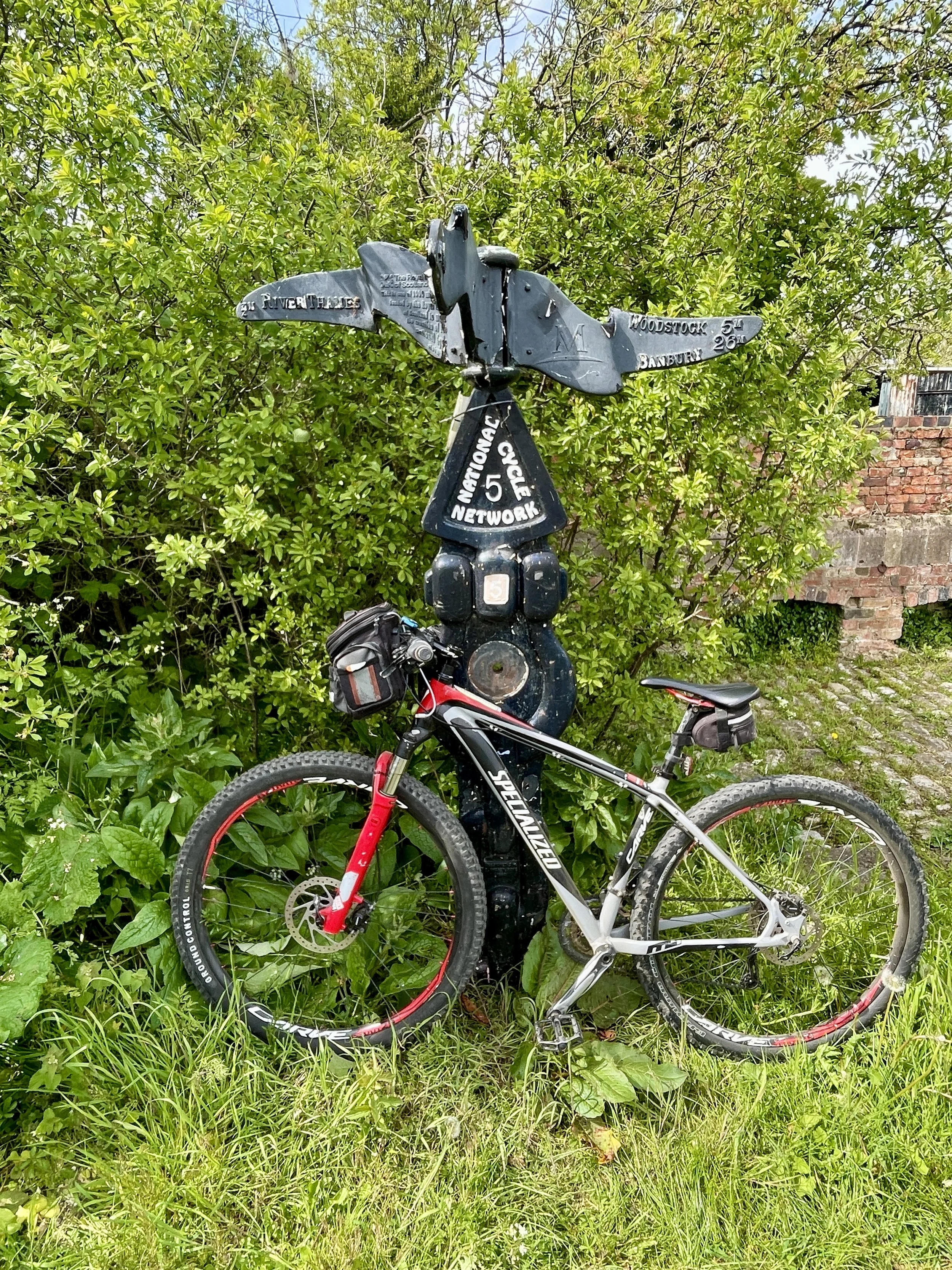
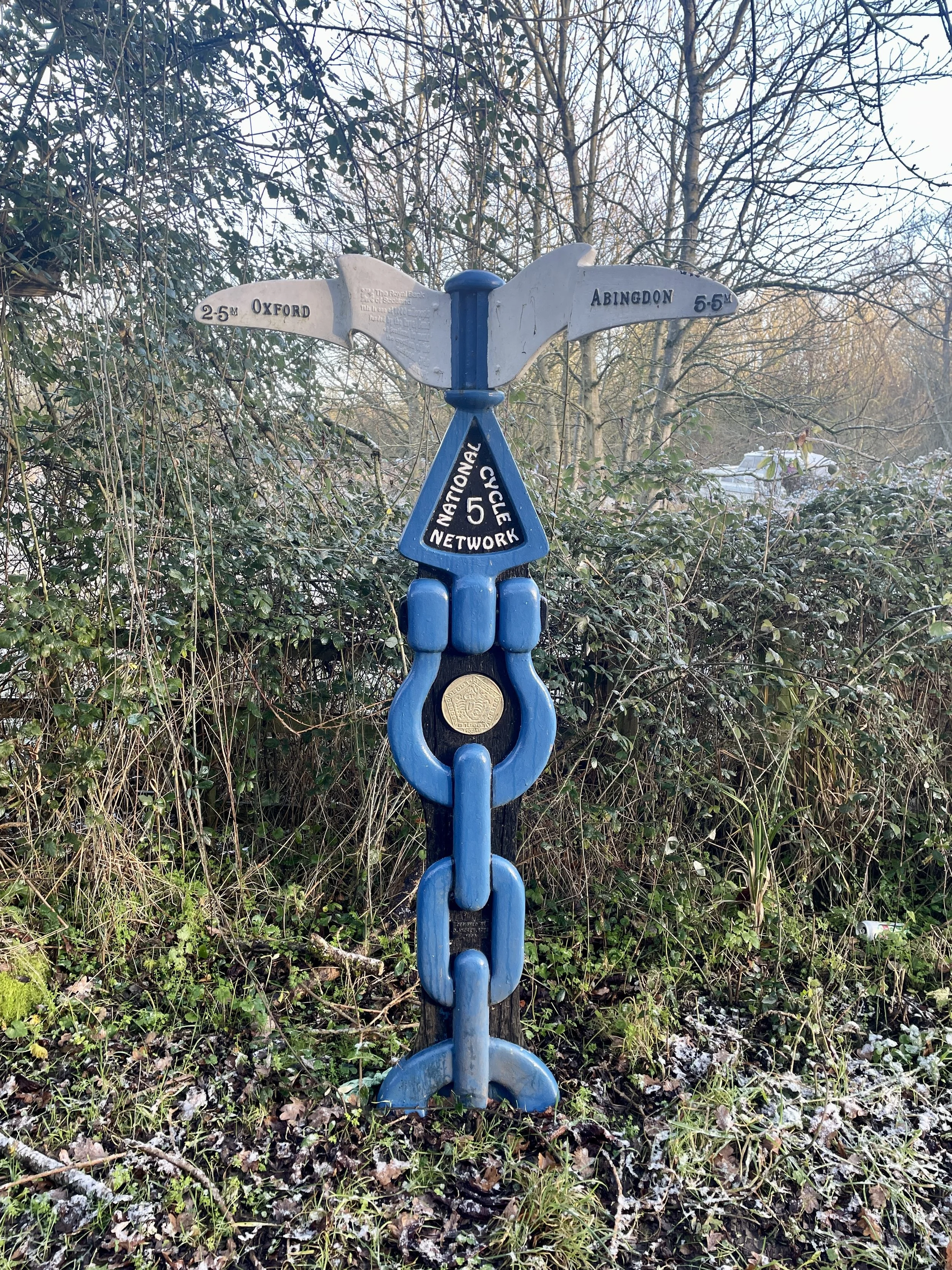
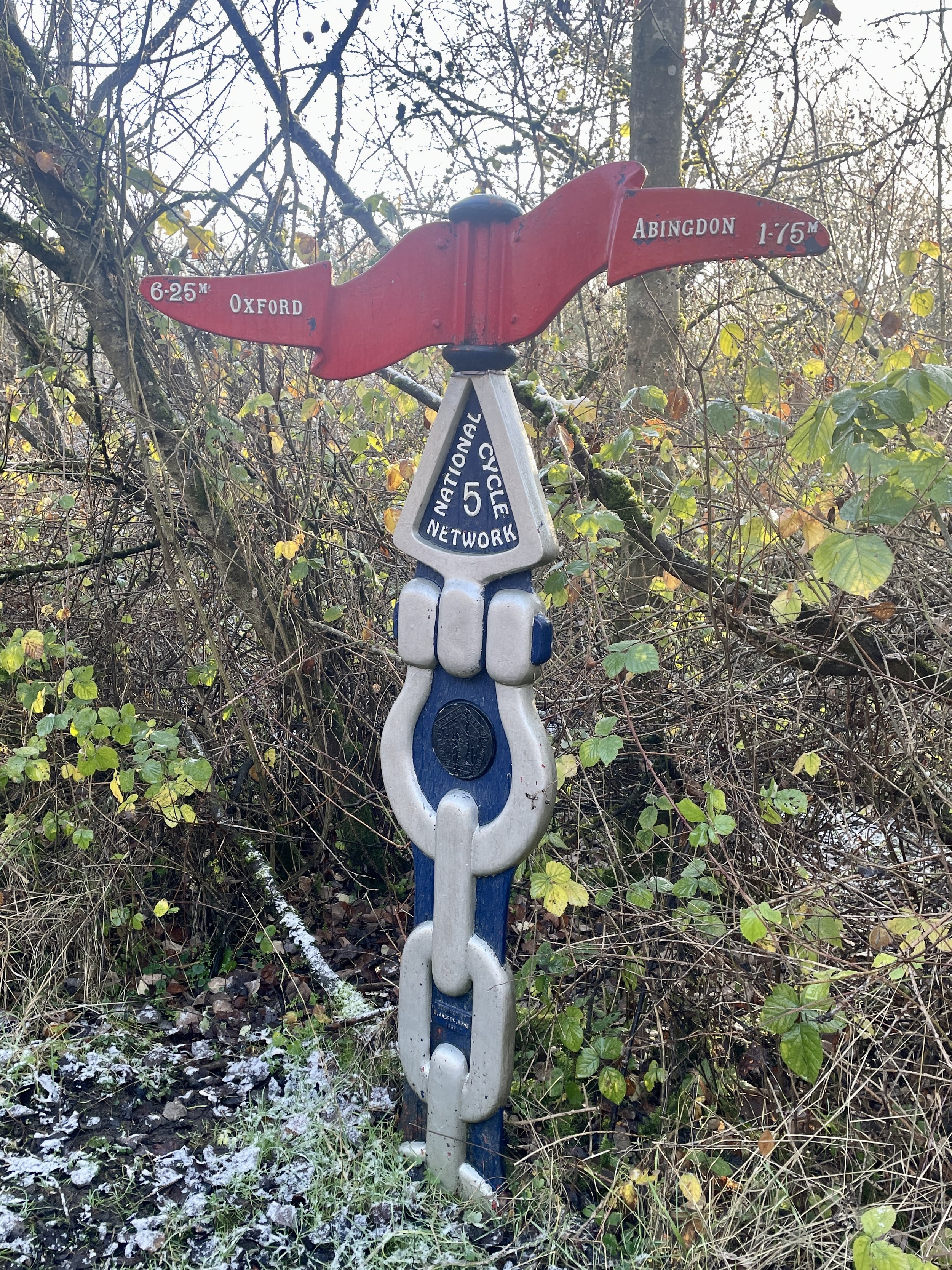
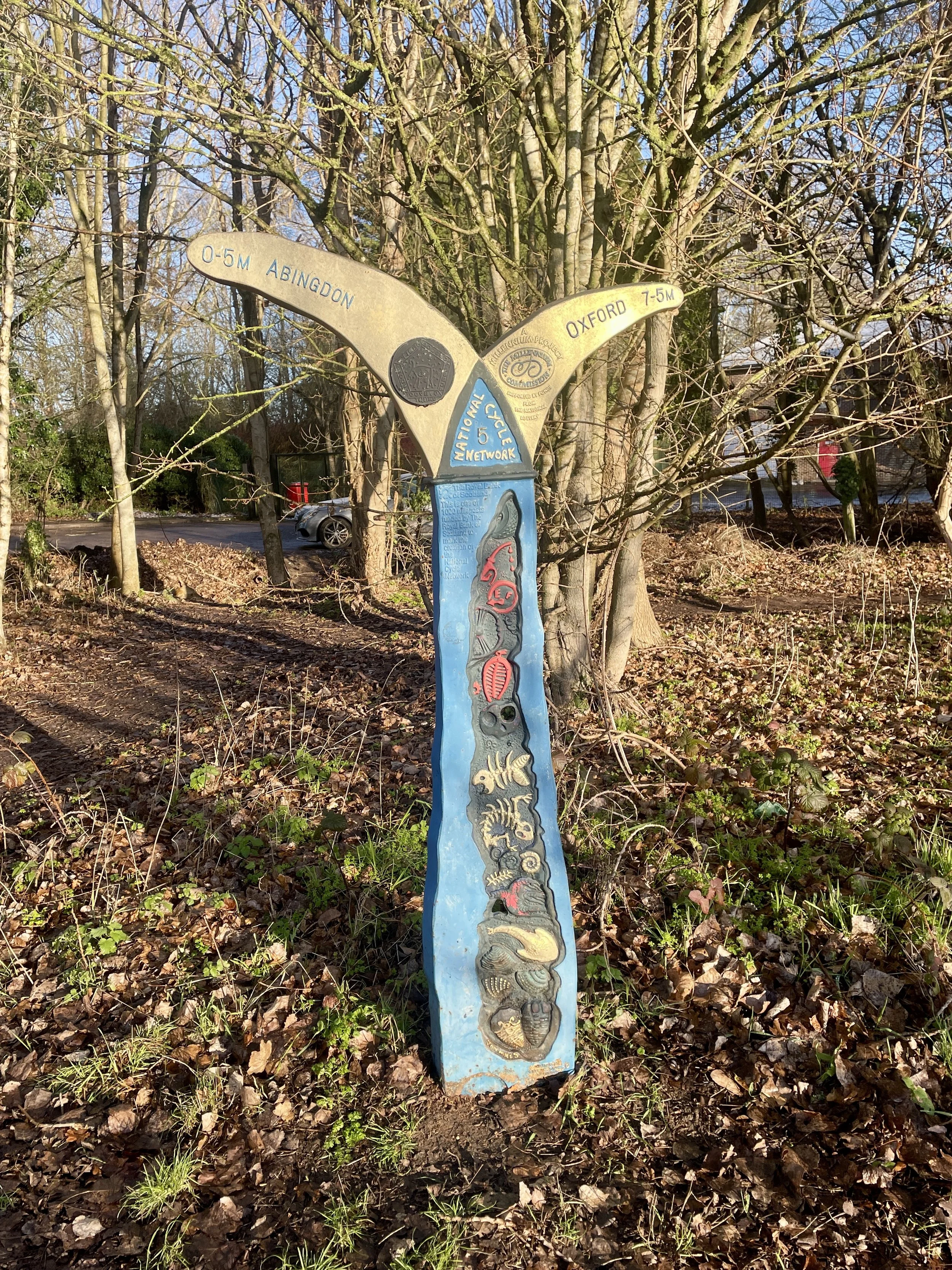
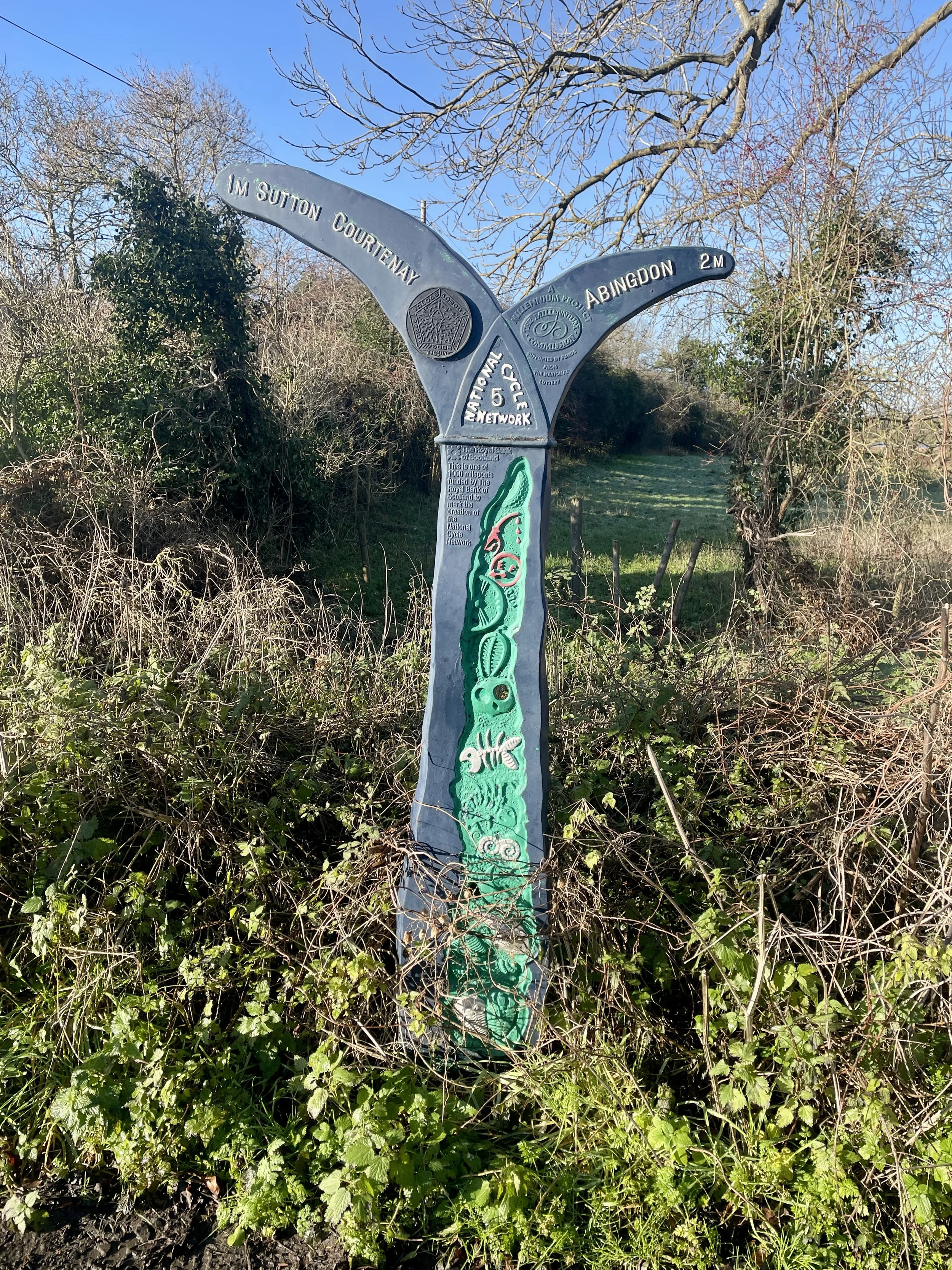
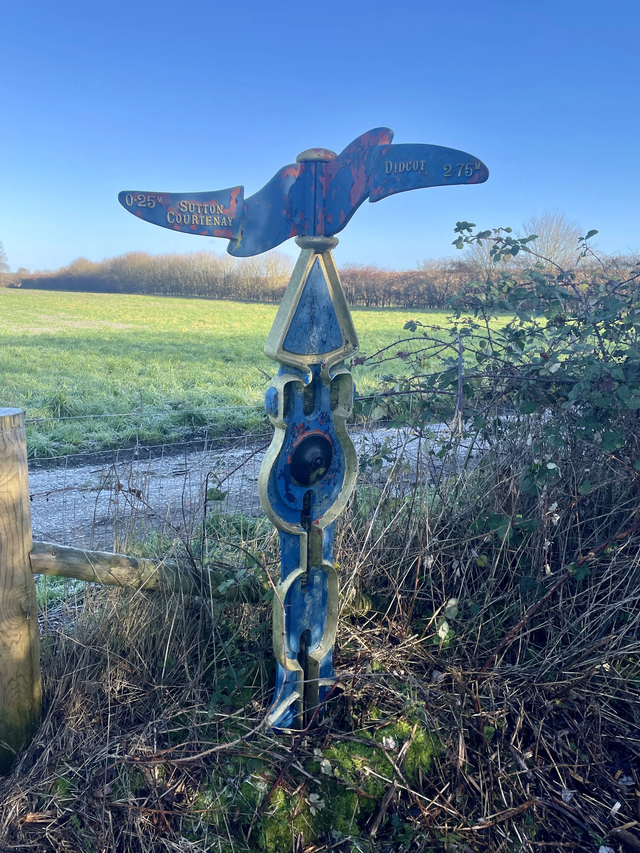
Dotting the UK's National Cycle Network are over 1,000 unique markers known as the Millennium Mileposts. Unveiled in 2000, these cast-iron sculptures are more than just waymarkers. Designed by four artists, one from each nation of the UK, they celebrate the diversity of the cycling routes. These artistic mileposts come in various shapes and can be found in both bustling towns and scenic landscapes, adding a touch of artistic charm to a cycling adventure.

Here are the 10 Millennium Mileposts that we spotted along the route.
Cycling The NCN 5 from Banbury to Reading
Warriner Windmill near Bloxham Grove

Warriner Windmill near Bloxham Grove


National Cycle Network (NCN) Route 5 spans roughly 370 miles from Holyhead on Anglesey down to Reading. It takes in a long, varied stretch of the country, picking up the North Wales coast, weaving through Chester, Birmingham, and Oxford, and uses a mix of canal towpaths and river valleys.

The Banbury to Reading segment is highly practical for a point-to-point ride. Heading south from Banbury, it uses the Salt Way and the Oxford Canal towpath. South of Oxford, it crosses the River Thames and climbs over the Chiltern ridge before dropping into Reading.

I cycled this section of NCN 5 on my own years ago, but it was before the installation of the Millennium Mileposts. Since I’ve recently become obsessive about 'bagging' all the Mileposts in the South East, I had to go back and ride it properly.


Day 1: Banbury to Oxford

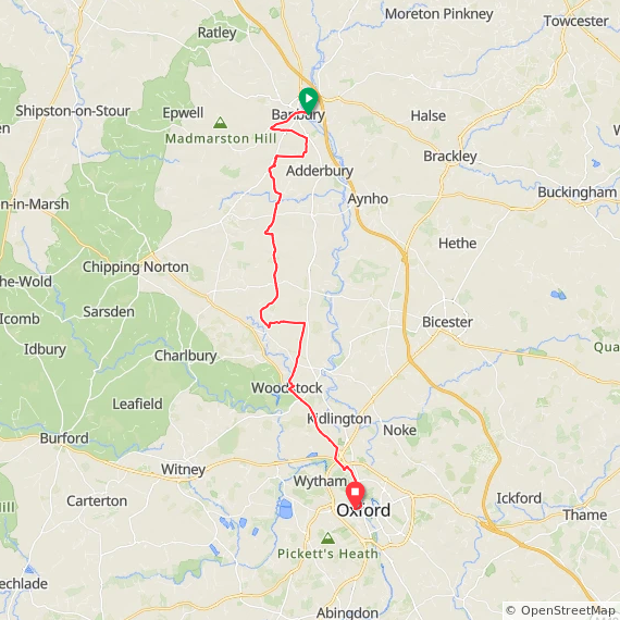
Start: Banbury Station, Station Road, Banbury OX16 5AB, United Kingdom
Finish: Oxford Station, Park End Street, Oxford OX1 1HS
Distance: 54 km (33.5 miles)
Elevation change: +396 / -428m (-32m)
GPX File: get via Buy Me a Coffee
Other routes touched (walk): Jurassic Way, Oxford Canal Walk, Cross Cotswold Pathway, Salt Way, Oxfordshire Way, The Roman Way, Shakespeare’s Way,
Other routes touched (cycle): NCN 5, National Byway
Pubs / Cafes on route: Several. We stopped in Woodstock (39 km in) for lunch at The King's Arms
Millennium Mileposts: 684, 686, 706, 818, 819
Maps:
-
Banbury, Bicester & Chipping Norton Map | Brackley | Ordnance Survey | OS Explorer Map 191
- Oxford Map | Witney & Woodstock | Ordnance Survey | OS Explorer Map 180
Links:
Banbury, Bodicote, Bloxham, Barford St Michael, Woodstock, Yarnton, Oxford


Back in January, my friend Brian and I tackled the Oxford to Reading leg. Although it slightly disturbed me that we were doing the 2 part route out of order, we did Part 2 first as it was closer to home and we had to work around the shorter daylight. We waited for the weather to improve before attempting the northern Banbury to Oxford. By April it was finally warm and dry enough to finish the job.

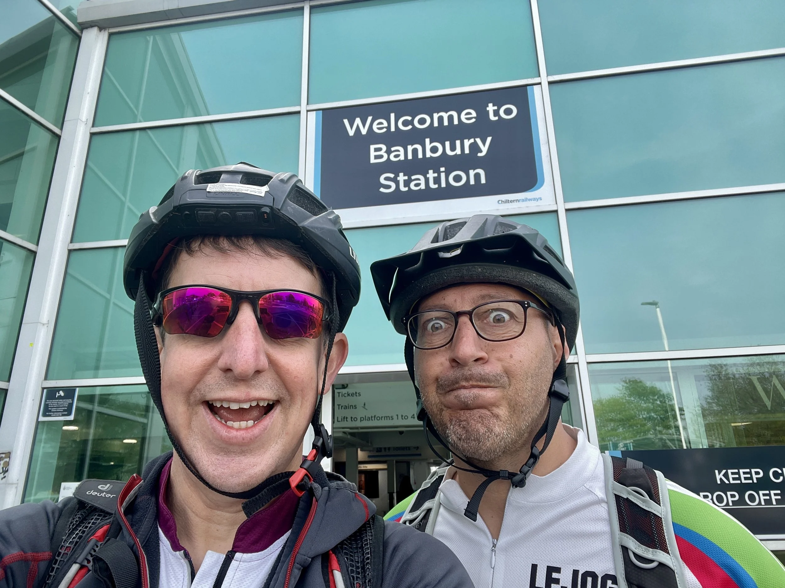
The logistics of the Banbury to Reading corridor are straightforward thanks to a direct rail link. We parked near Oxford station and caught the train up to Banbury: a 17-minute journey. Factoring in a 45-minute wait at Oxford, we’d already consumed enough coffee and cake, allowing us to bypass the Banbury town centre cafes entirely.

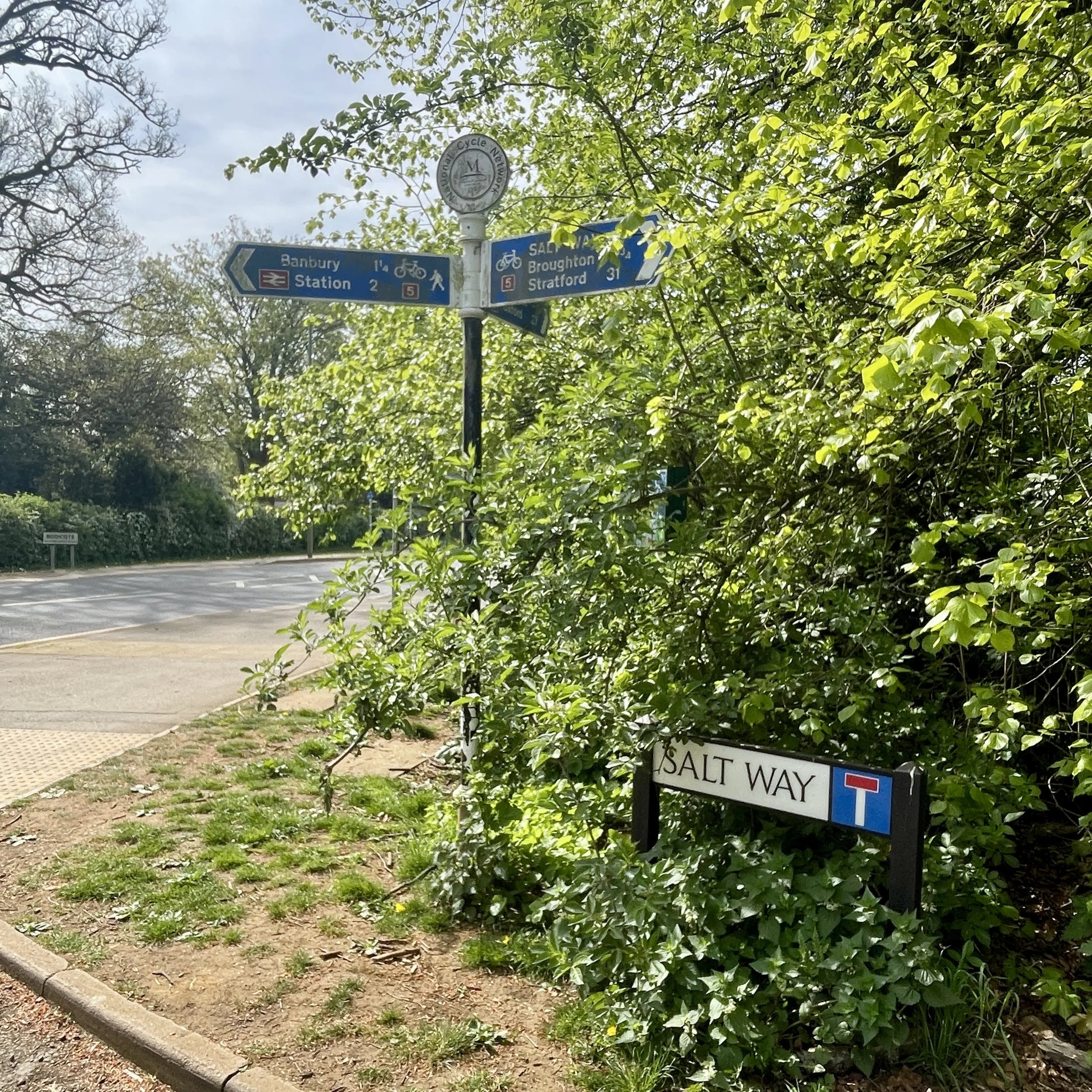
Banbury isn’t directly on the National Cycle Route so the first few kilometres were through the town centre and quiet roads and paths to the western part of town.

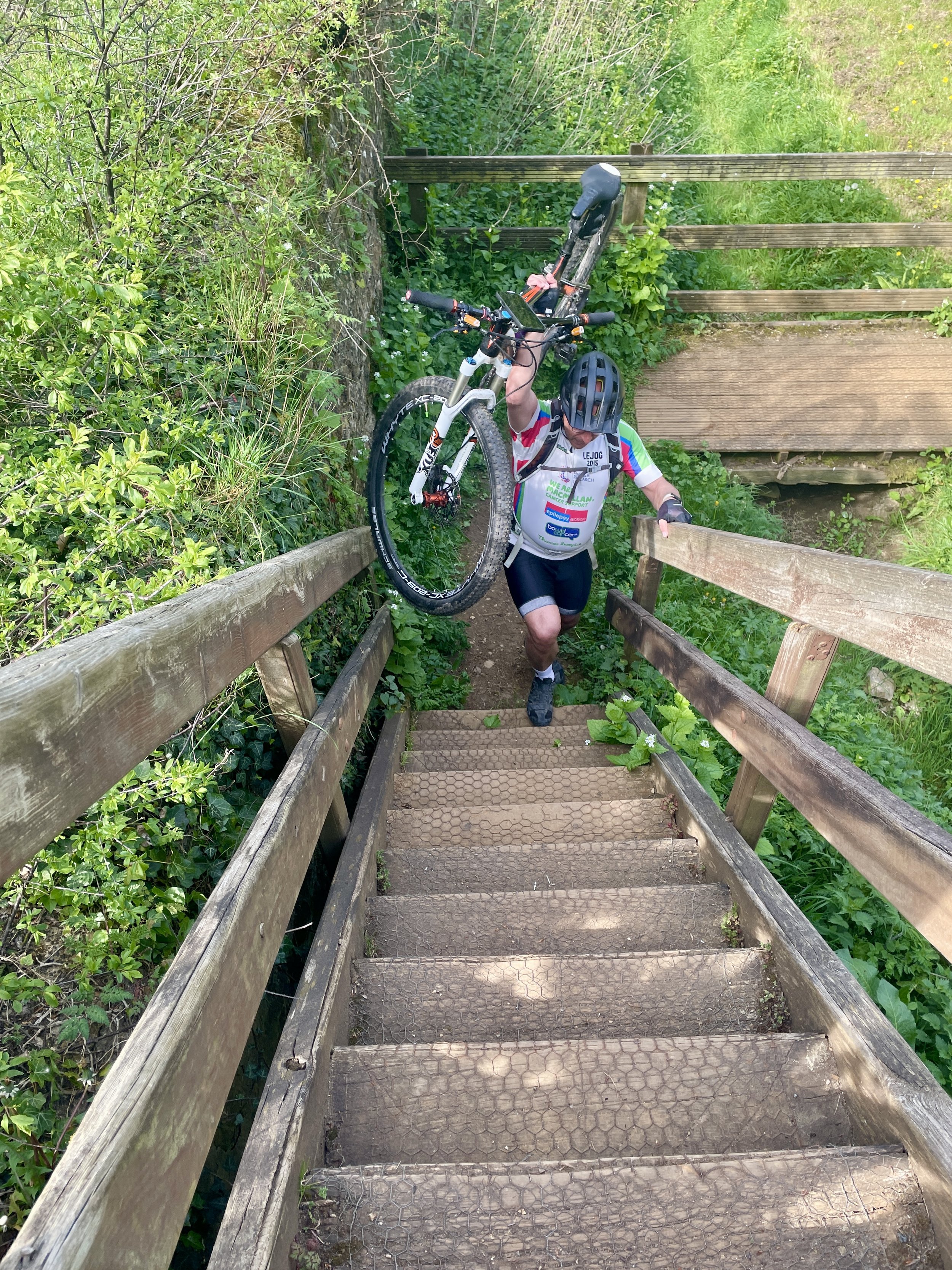
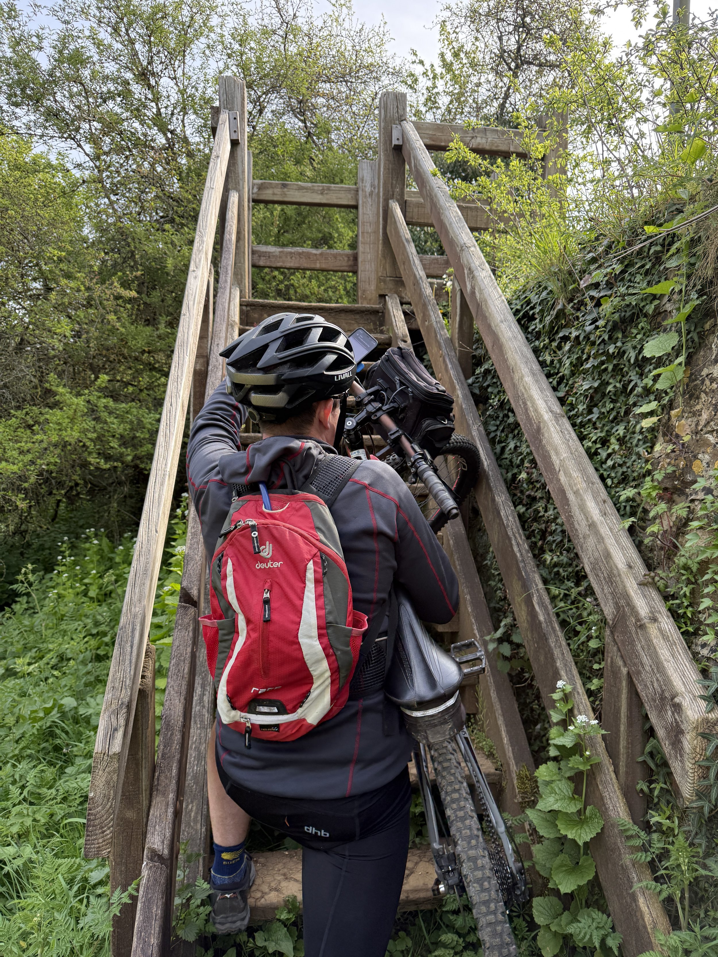
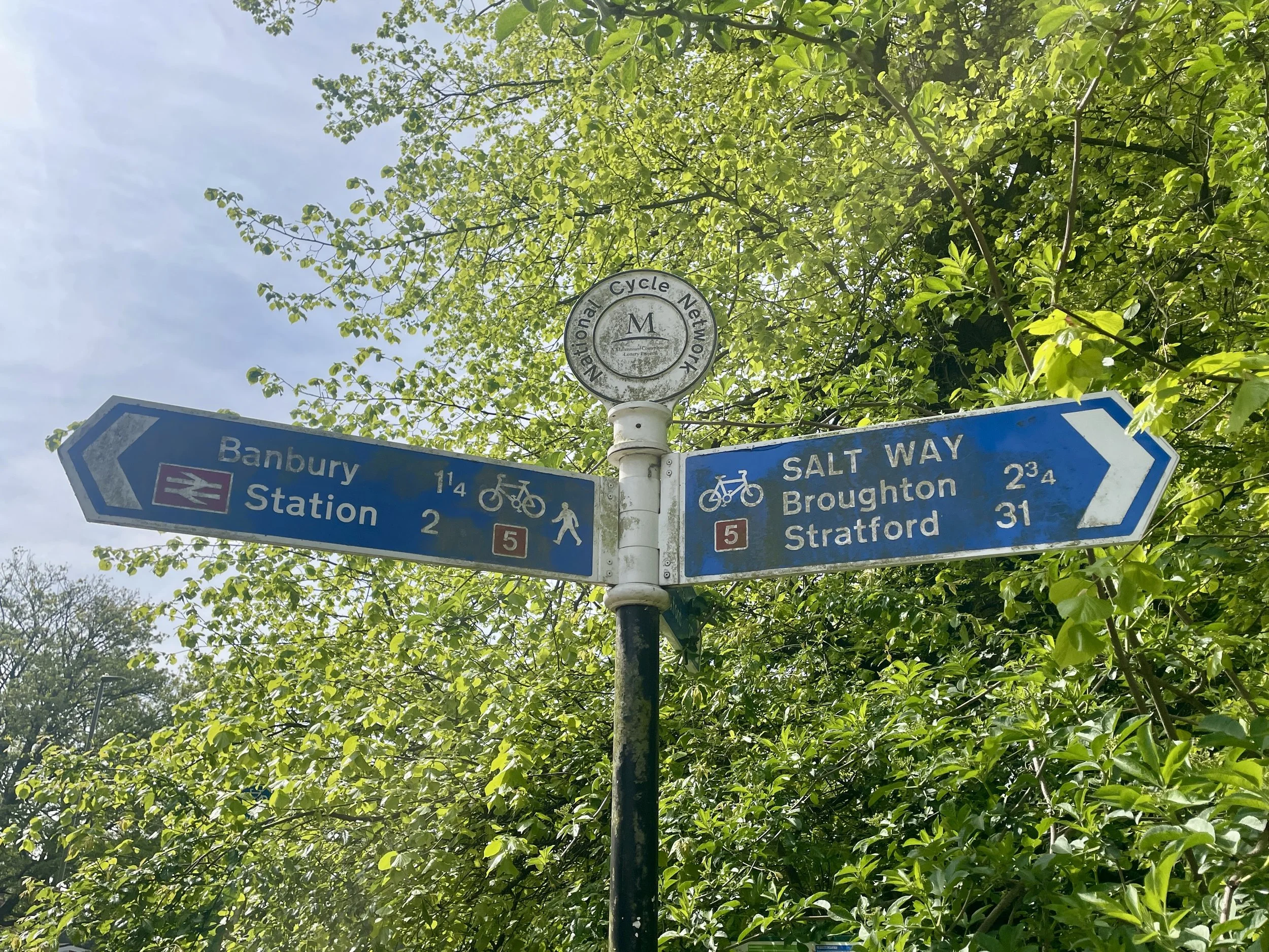
At 4 km, we hit the NCN5. We spotted the first Millennium Milepost of the day right away. Getting to it, however, meant hauling the bikes up a steep, unexpected set of wooden steps from the cycle path onto the main road.

Across the road, we joined the Salt Way. This is a straight, off-road track. The Salt Way Activity Group notes this was an ancient route used for transporting salt.

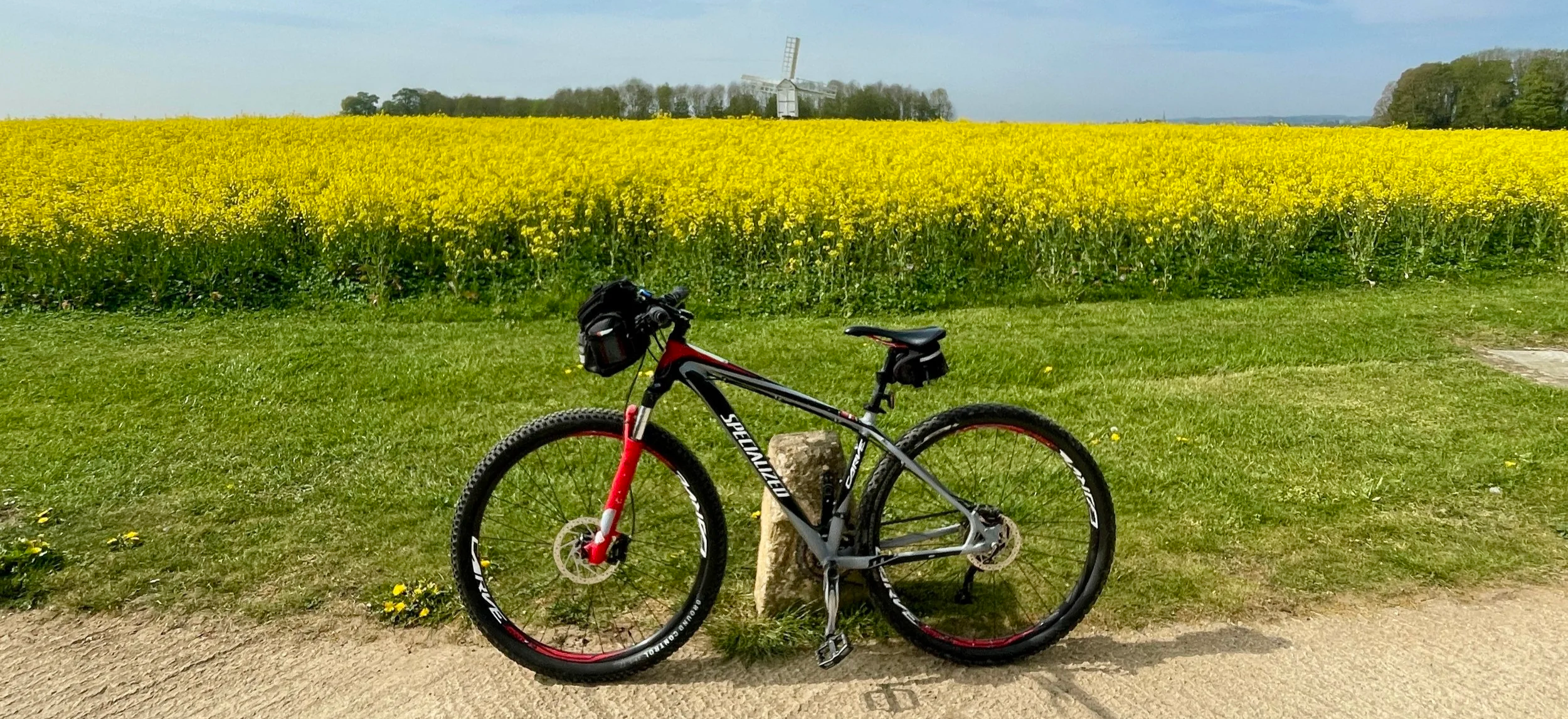
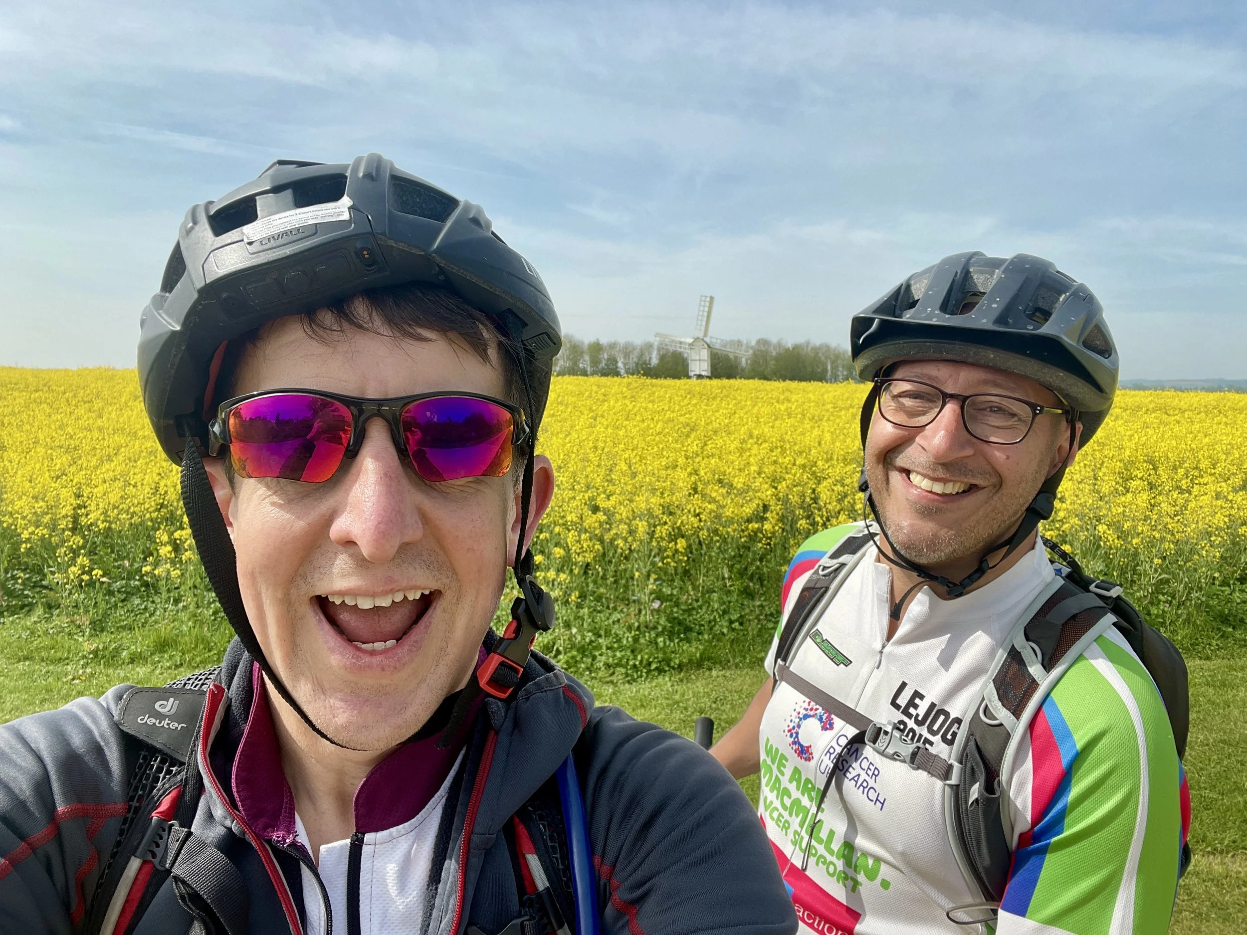
By the 11 km mark, we found our second Millennium Milepost in the small town of Bloxham. Just outside of town, we passed a yellow rapeseed field with a small windmill in the middle: the banner photo for this post. The route continued south through the "Barfords" (Barford St. John and Barford St. Michael), leading us to Nether Worton at 18 km, where we bagged milepost number three.

Reaching Middle Barton at 23 km, the "second breakfast" cravings had set in. However, we ran into a recurring logistical failure for Brian and me: we start so early that we consistently beat the opening hours of rural pubs and cafes.

The fourth milepost appeared just outside Glympton around the 35 km mark. Shortly after, there is a great section running through a forest parallel to a river. It is easily one of the best parts of the route.
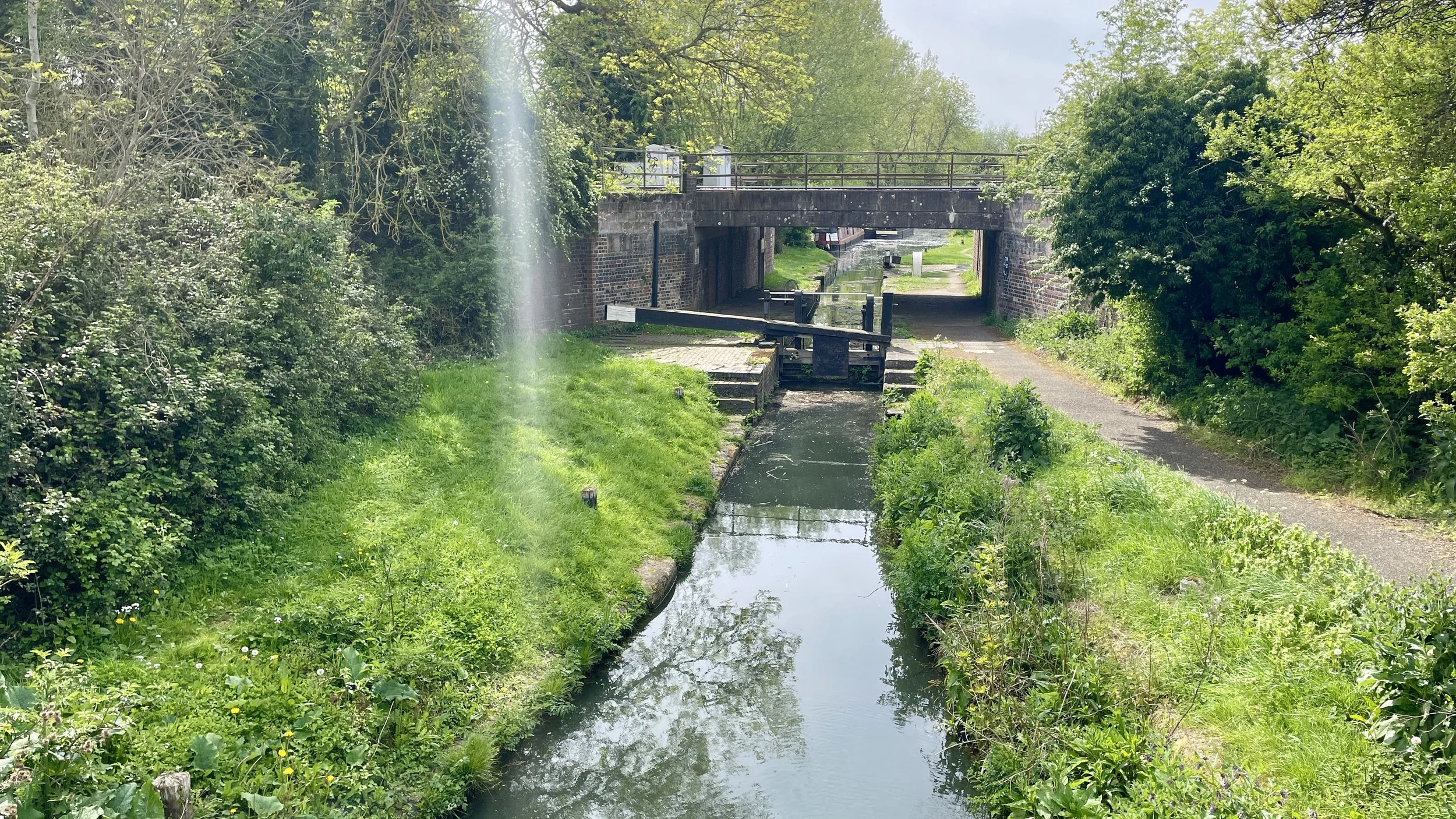
We rolled into Woodstock at 40 km at exactly 1:00 pm. We paused the ride here, finding a pub in the town centre for fish and chips. Pointing the bikes south-east toward Oxford post-lunch, we located the final Millennium Milepost (number five) at 48 km where the route joins the Oxford Canal at the north end of the city. Following the canal path through the residential streets of North Oxford, we arrived back at the train station and the car by 3:30 pm.

It was an efficient and hugely enjoyable day out and much warmer than the January attempt.


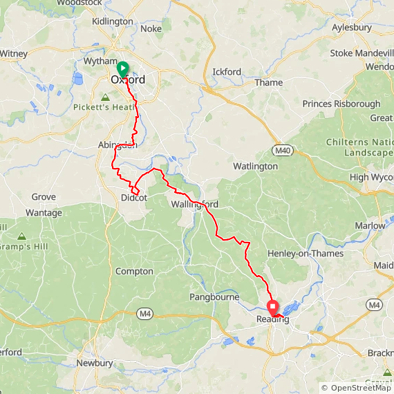
Day 2: Oxford to Reading

Start: Oxford Station, Park End Street, Oxford OX1 1HS
Finish: Reading Station, Bagnall Way, Reading, RG1 8BT
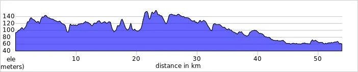
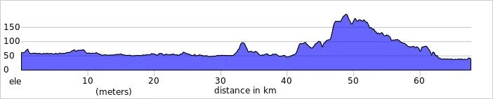
Distance: 68 km (42 miles)
Elevation change: + 455 / -476m. Net +21 m
GPX File: get via Buy Me a Coffee
Other routes touched (walk): Thames Path, Oxford Green Belt Way, The Vale Way, The Roman Way, The Ridgeway, Chiltern Way Southern Extension, St Frideswide's Way
Other routes touched (cycle): NCN 4, 5, 544, Icknield Way Trail
Pubs / Cafes on route: Many on the route. We stopped for a coffee at Abingdon at 15 km in
Millennium Mileposts: 231, 223, 224, 225, 226, 227, 230, 229, 222, 58, 141, 140
Maps:
- Oxford Map | Witney & Woodstock | Ordnance Survey | OS Explorer Map 180
- Vale of White Horse Map | Abingdon-on-Thames, Wantage, Wallingford & Faringdon | Ordnance Survey | OS Explorer Map 170
- Chiltern Hills West Map | Henley-on-Thames & Wallingford | Ordnance Survey | OS Explorer Map 171
Links:
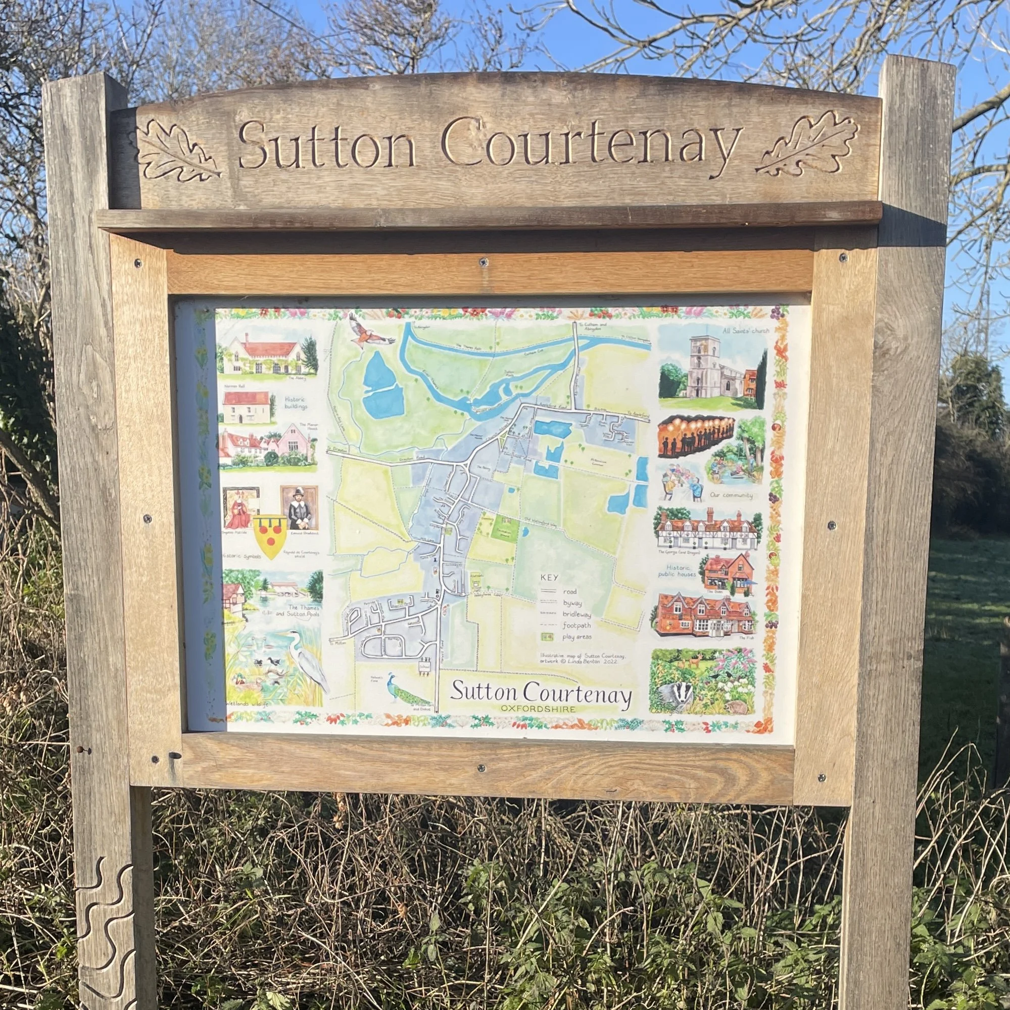
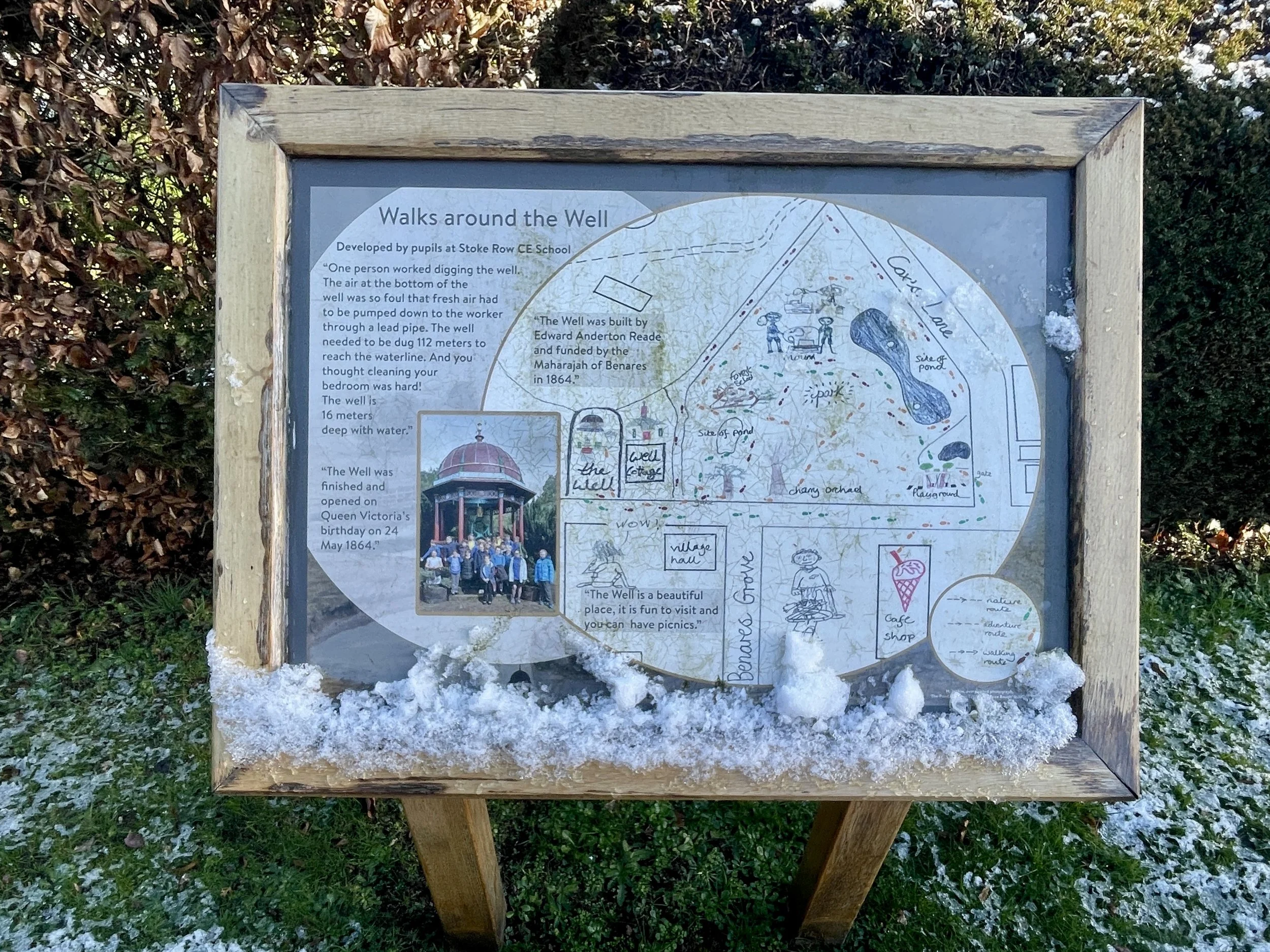
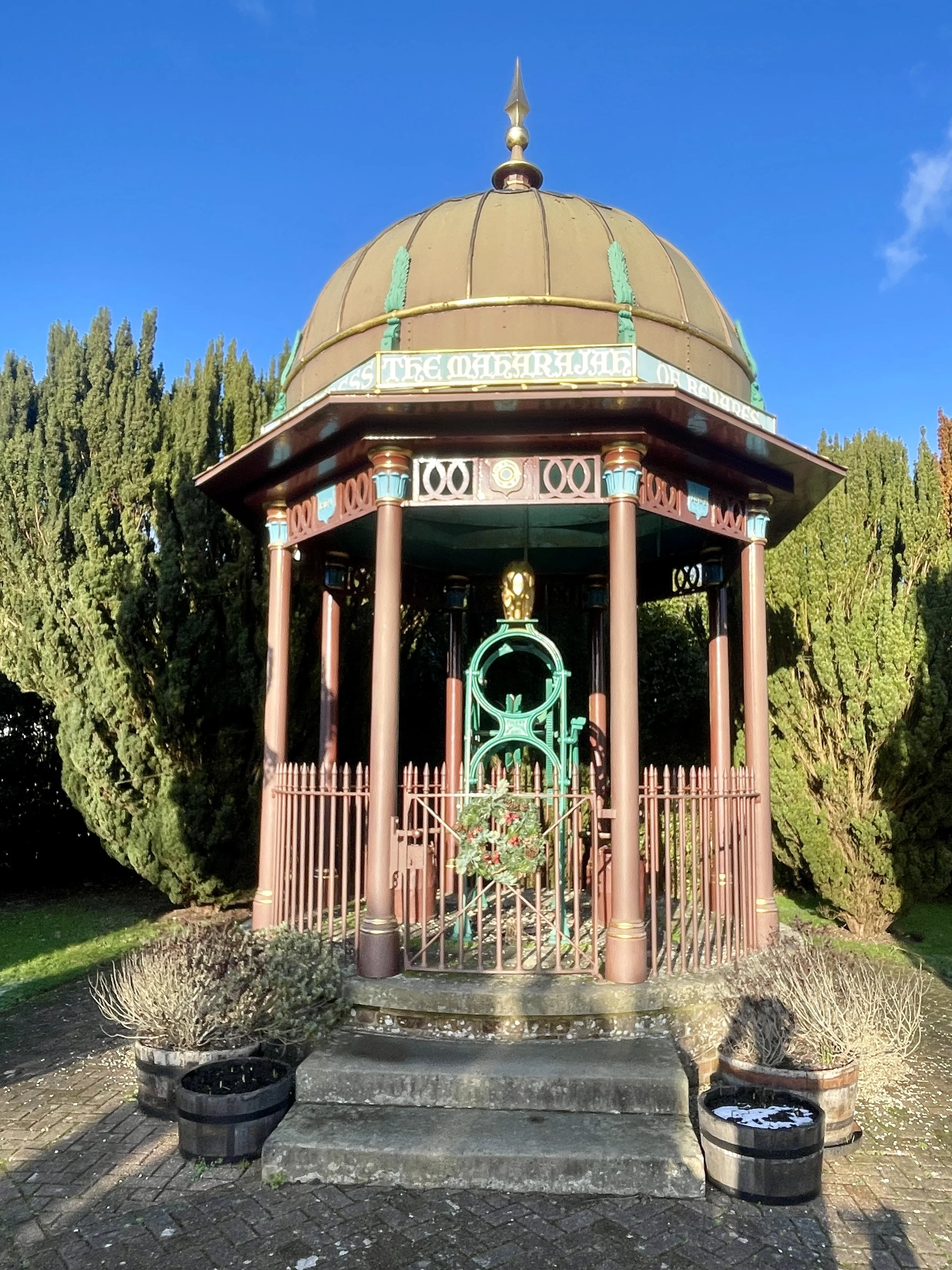
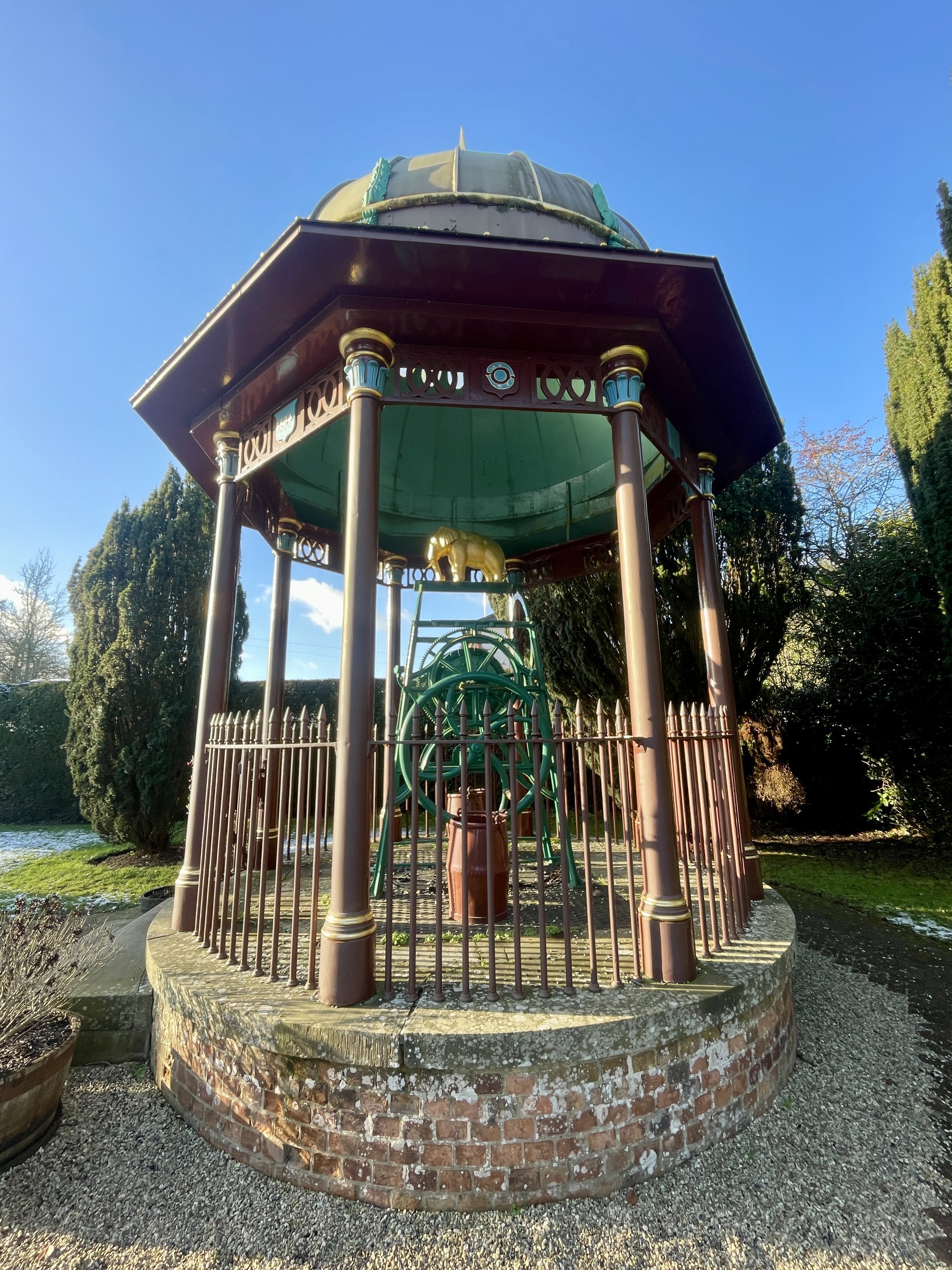
Oxford, Abingdon, Didcot, Wallingford, Stoke Row, Caversham, Reading


On the 2nd of January, Brian and I set off to tackle the southern section. Our original plan was to cycle from Reading to Oxford and return by train. However, during the drive, Brian actually checked the forecast and discovered we would be cycling directly into a headwind the entire way. We aborted the original plan, drove to Oxford, parked near the station, and cycled south instead.

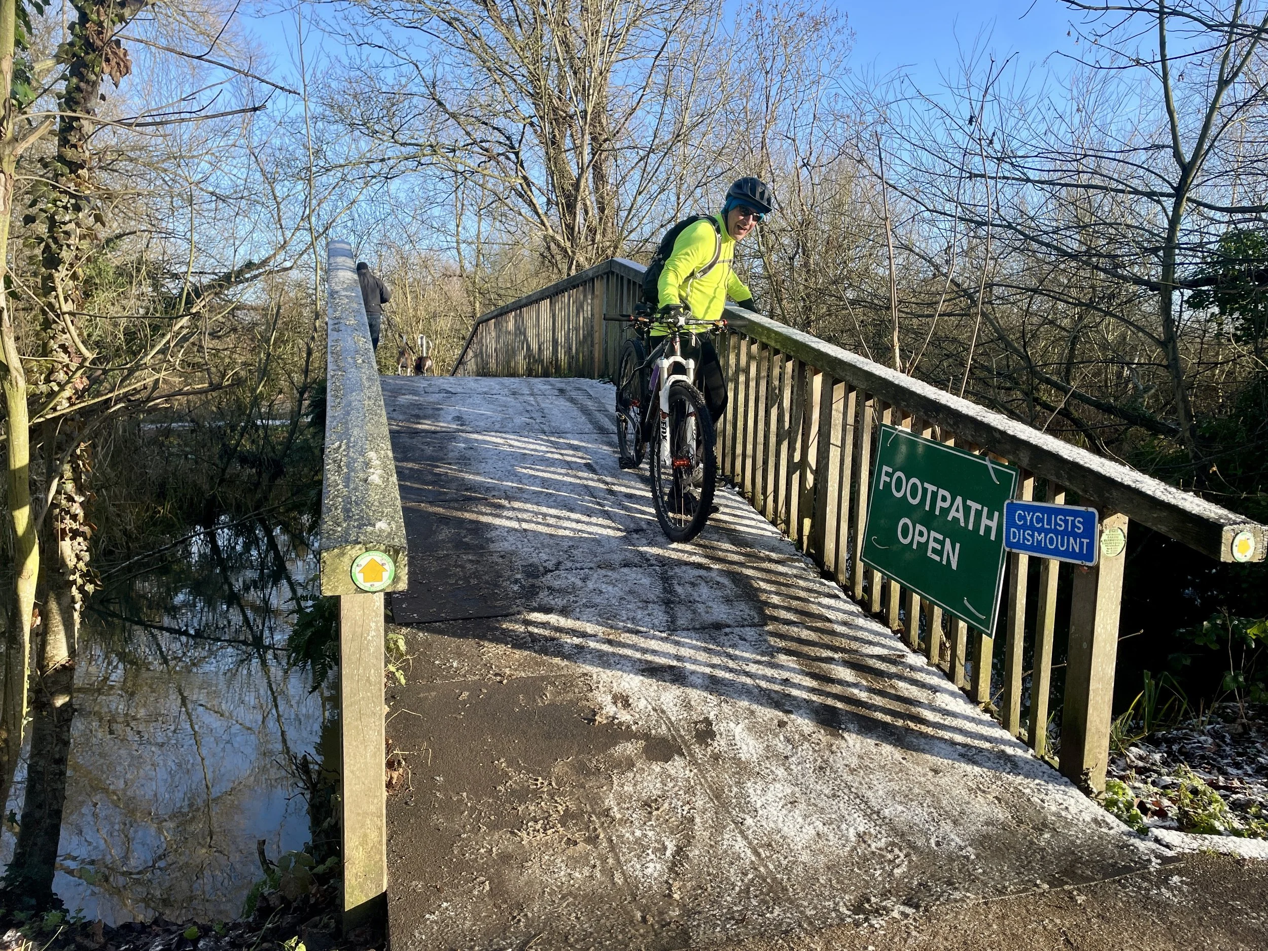
Conditions were terrible. It had rained overnight, and the ground was covered in snow and ice. For the first 10 km, we spent an hour cycling cautiously to avoid slipping. By the time we reached Abingdon, we were moving significantly slower than my standard parkrun pace. We stopped at a coffee shop to warm up, establishing a contingency plan to abandon the ride at Didcot and take the train back if the ice persisted.
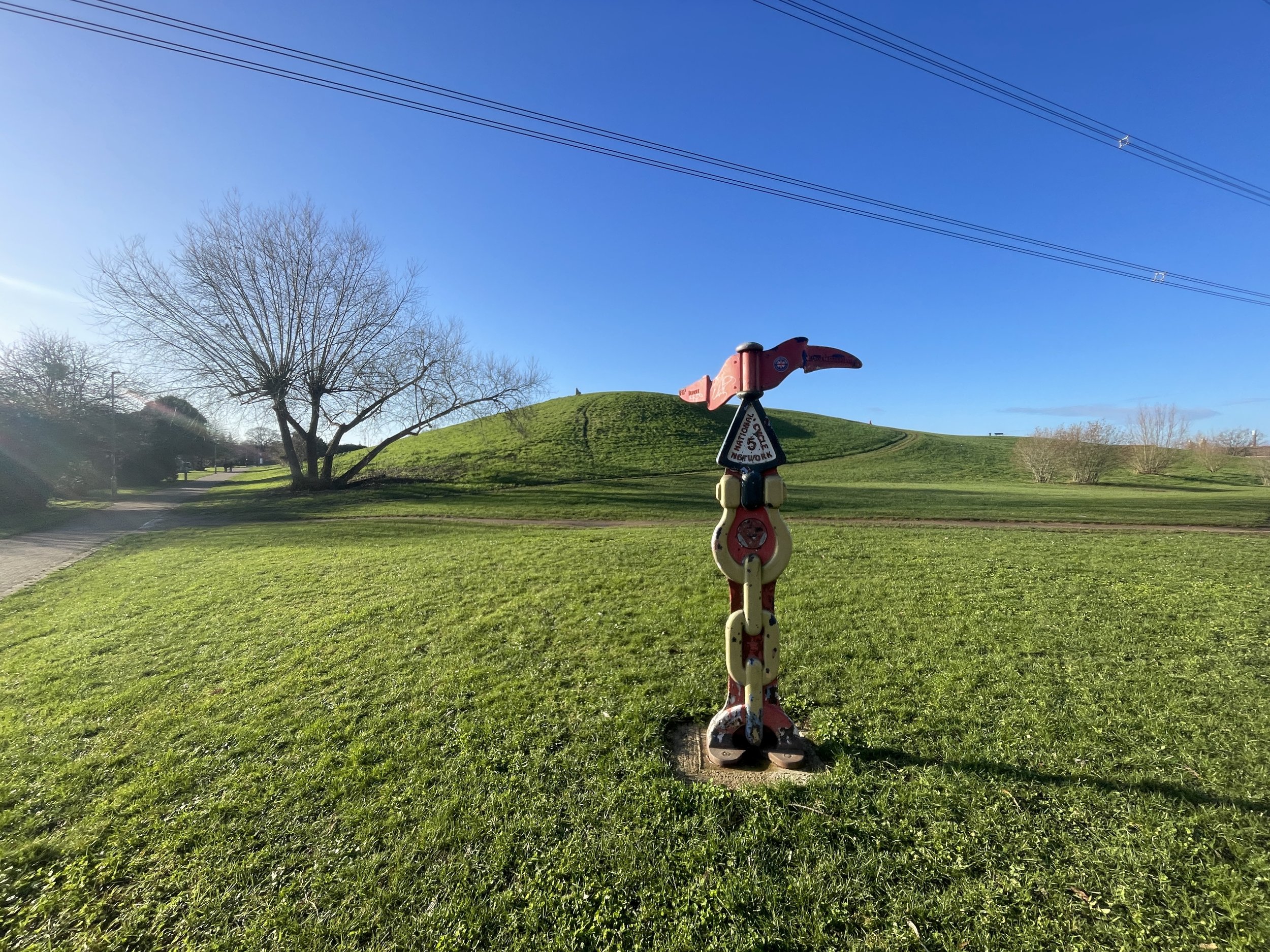
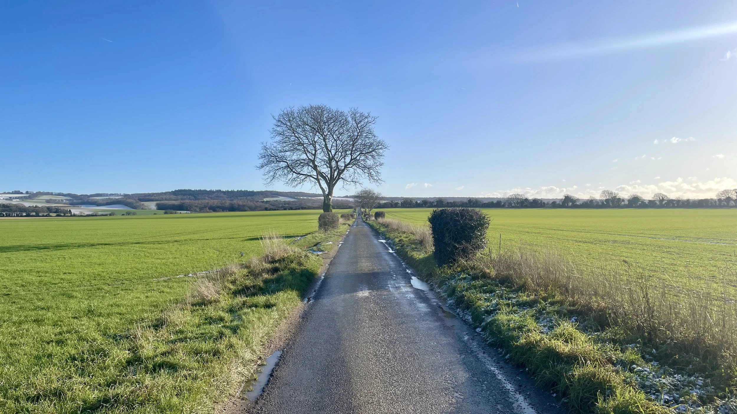
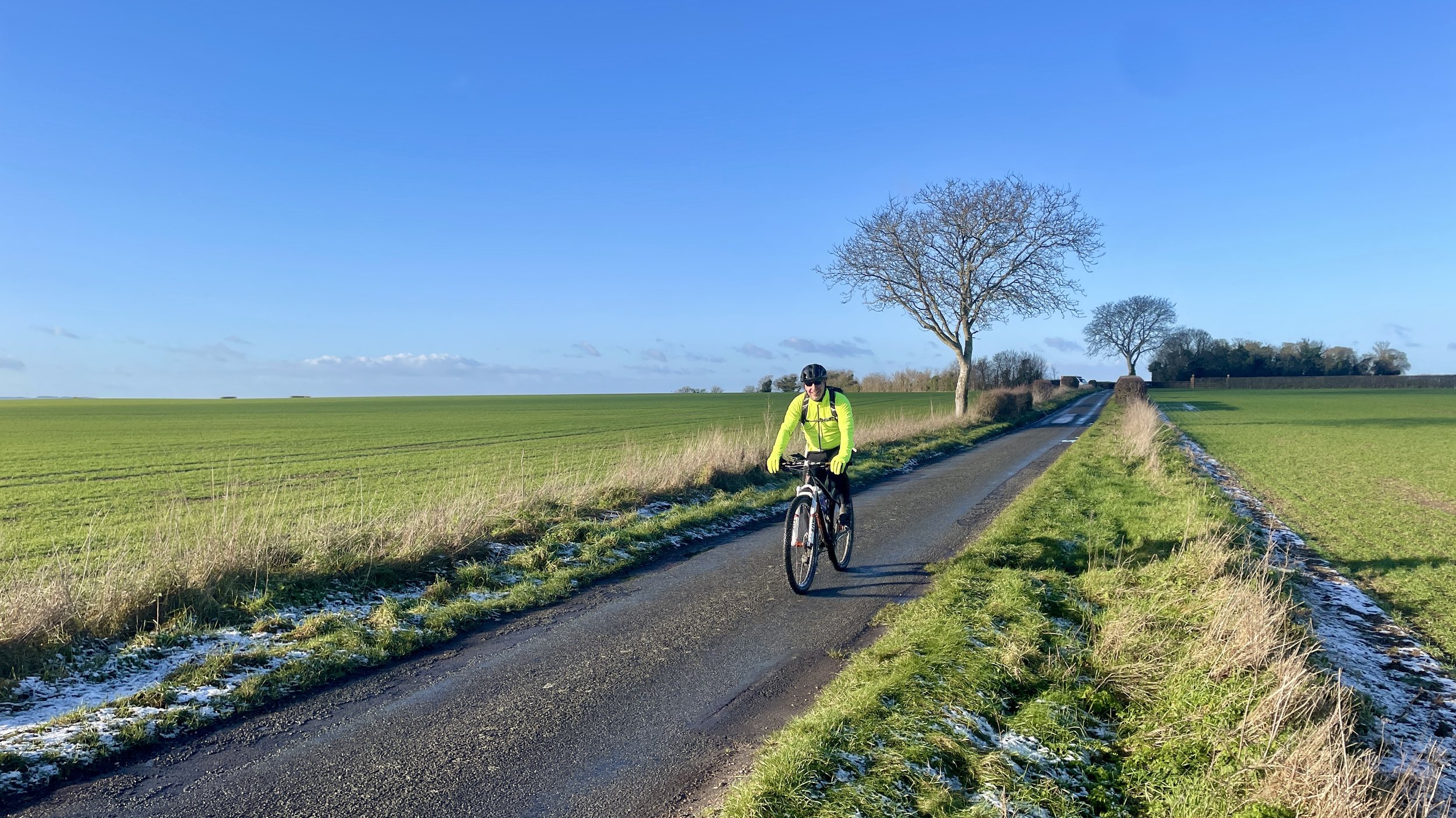
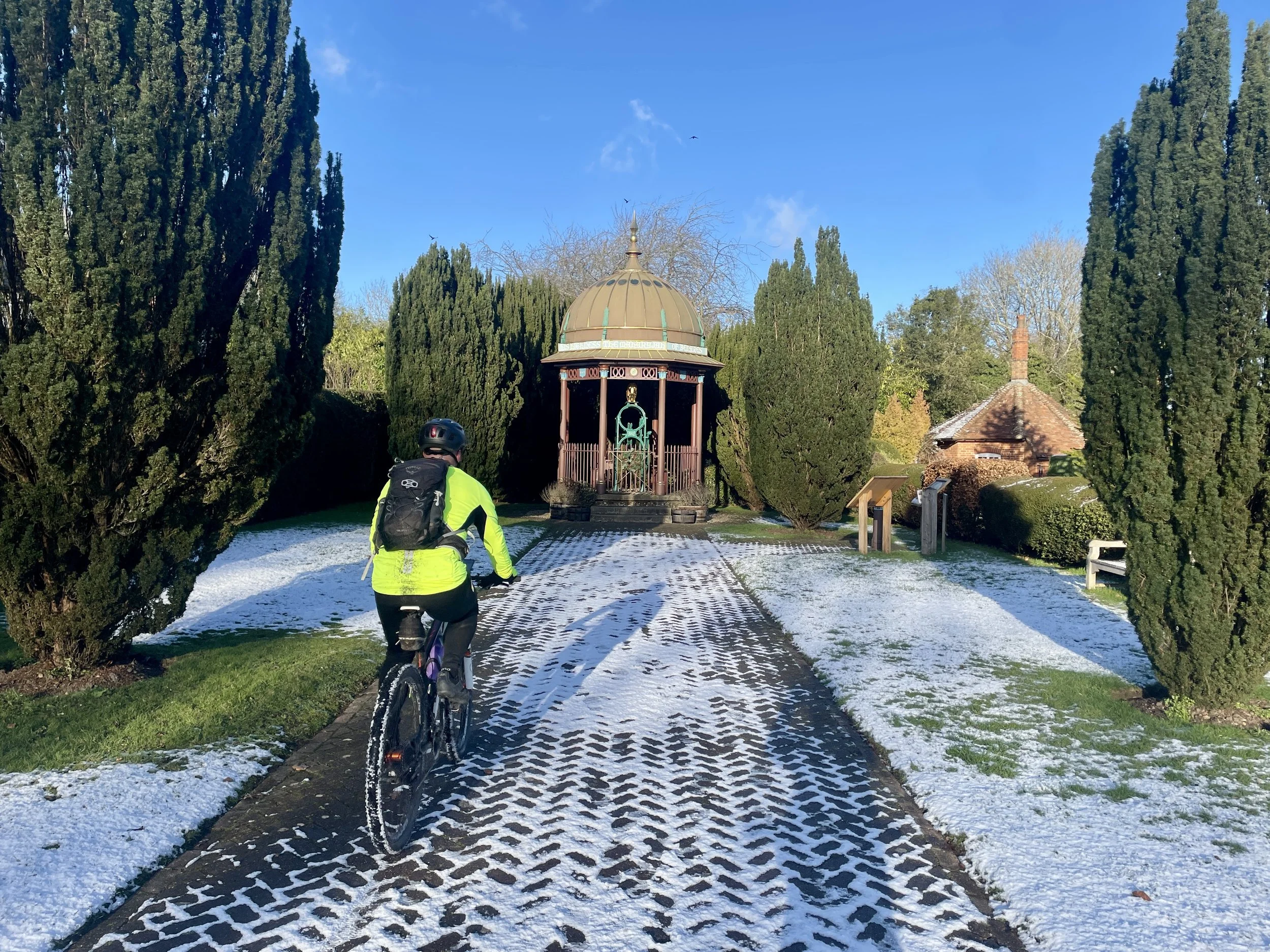
Leaving the cafe, the weather broke. The sun melted the ice, and our pace drastically improved. Around the 20 km mark, we passed Didcot, bagging several Millennium Mileposts along the way. Ten kilometres later, we passed Wallingford, crossed the River Thames, and entered the Chilterns. Riding from Wallingford across the Ridgeway and into the Chiltern Hills under clear skies made up for the freezing start.

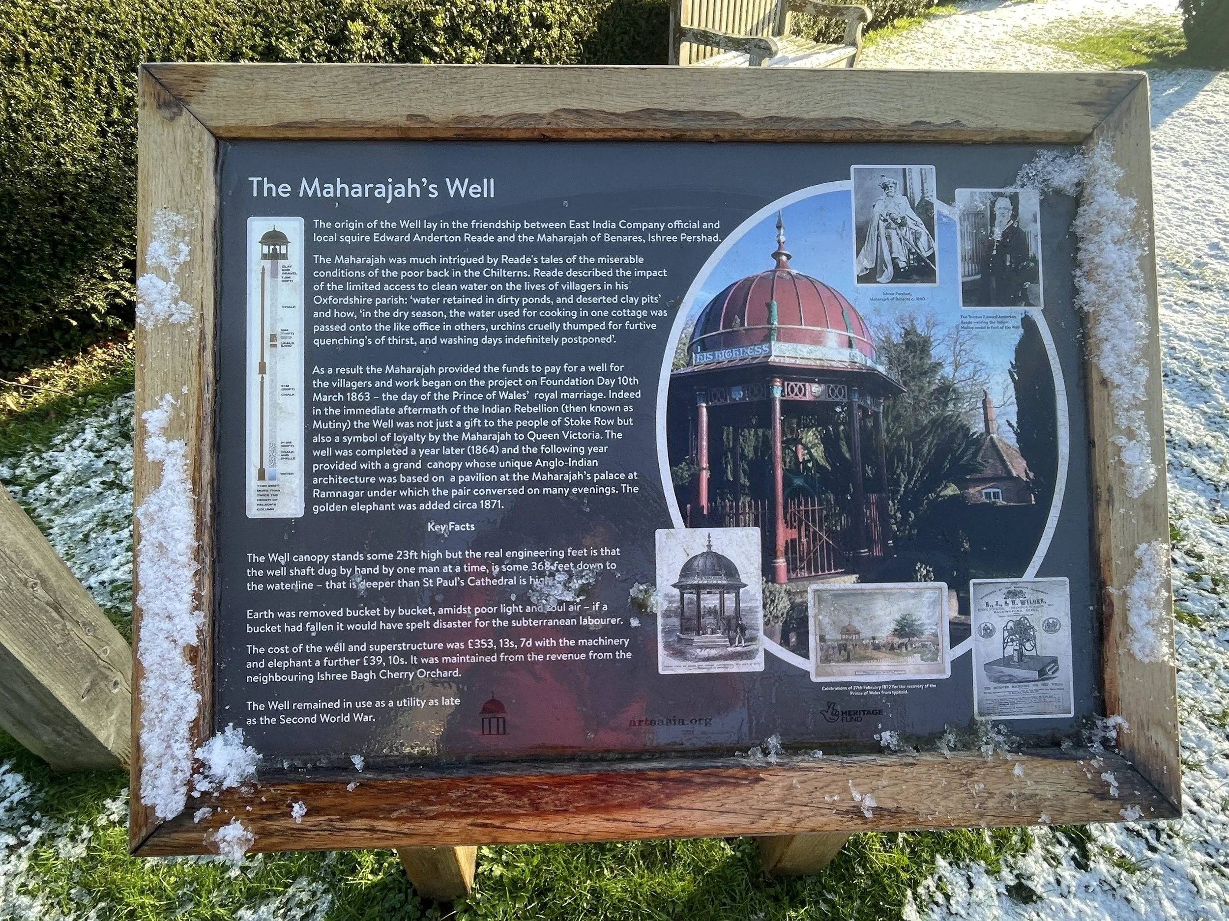
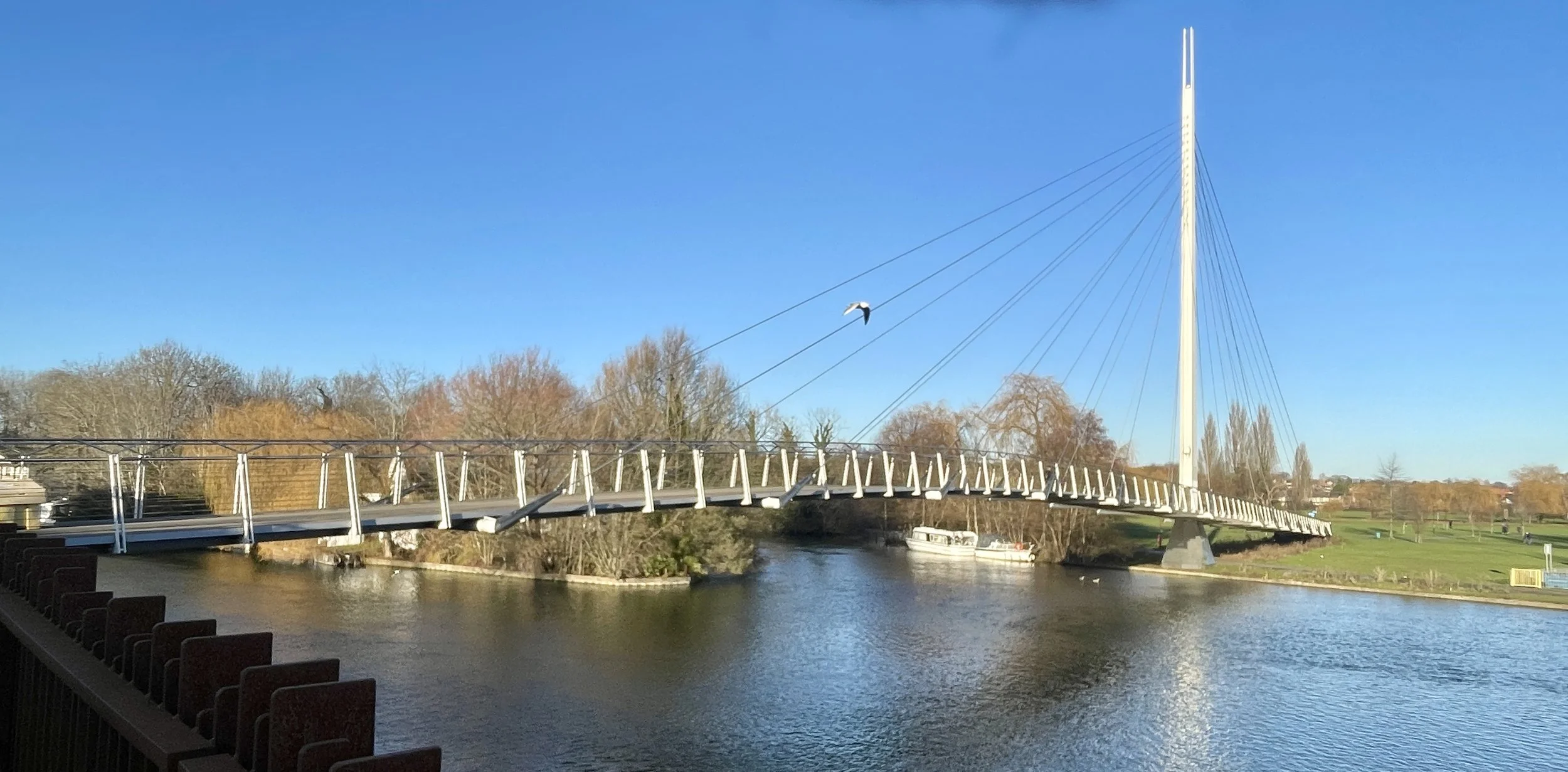
The final major leg at 55 km required a climb up and over the Chiltern ridge, followed by a fast descent into Caversham from Stoke Row. Finally, at 60 km, we bagged one final Millennium Milepost in Caversham, crossed the river, and finished the ride at Reading station.

Technically, NCN 5 continues east along the Thames for another 1.5 km to the confluence with the River Kennet. Having cycled that section previously and already bagged its two mileposts, we opted to skip it to ensure we got back to Oxford in daylight.


The Full 2-Day Route

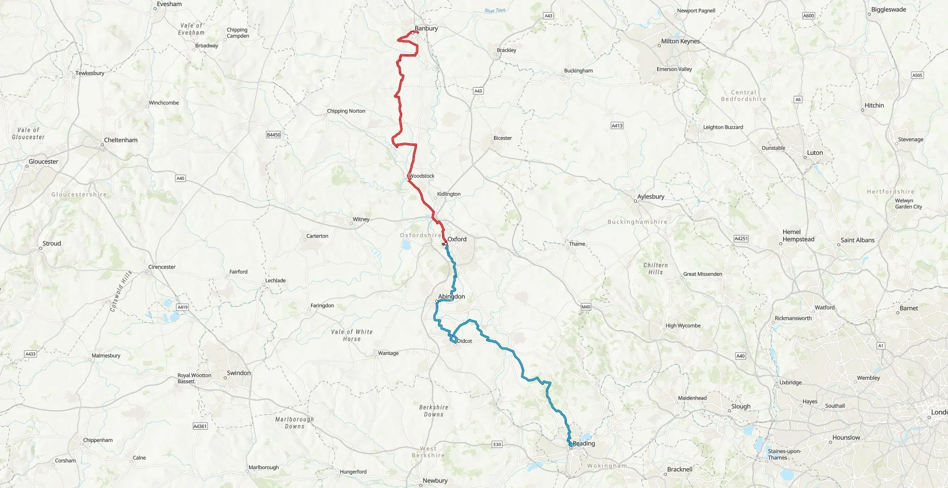
A map showing the 2 day cycle trip along the NCN 5 from Banbury to Oxford

Day 1 in red, day 2 in blue


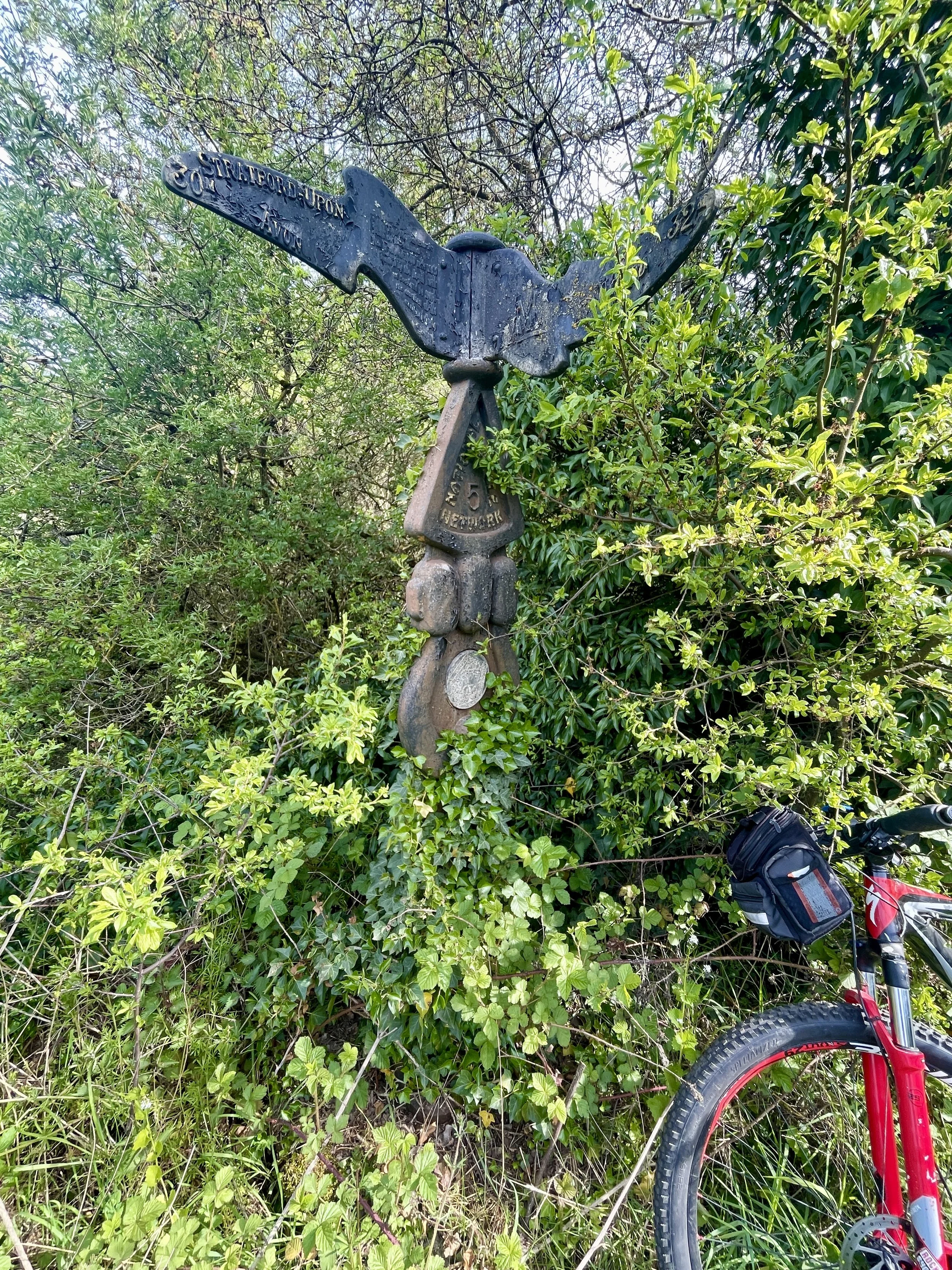
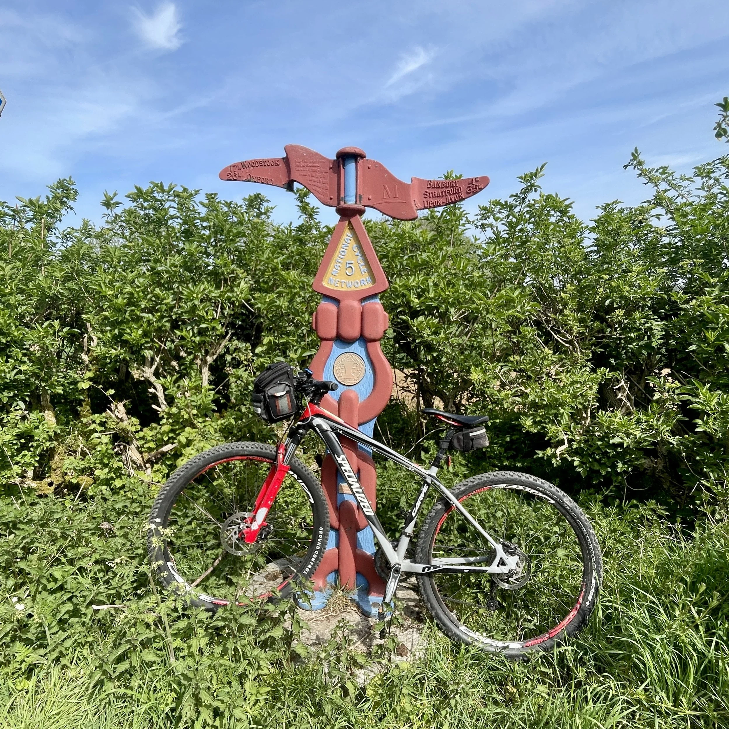
The Millennium Mileposts

Dotting the UK's National Cycle Network are over 1,000 unique markers known as the Millennium Mileposts. Unveiled in 2000, these cast-iron sculptures are more than just waymarkers. Designed by four artists, one from each nation of the UK, they celebrate the diversity of the cycling routes. These artistic mileposts come in various shapes and can be found in both bustling towns and scenic landscapes, adding a touch of artistic charm to a cycling adventure.

Millennium Mileposts on Day 1: Banbury to Oxford

Millennium Mileposts on Day 2: Oxford to Reading